|
Where: Pinbreck Hill Hike by Barr
Village in Ayrshire
When: June 2014
Who: I Parker
Why: good weather so a day out to get some
photos
Weather: Sunny
Distance: ?
I had hiked the hills on the south side
of the Nick of the Balloch mountain pass
two years back, so decide to hike the two
hills on the north side of the Nick of the
Balloch, the 1,639ft / 500m Pinbreck and
1,594ft / 486m Eldrick.
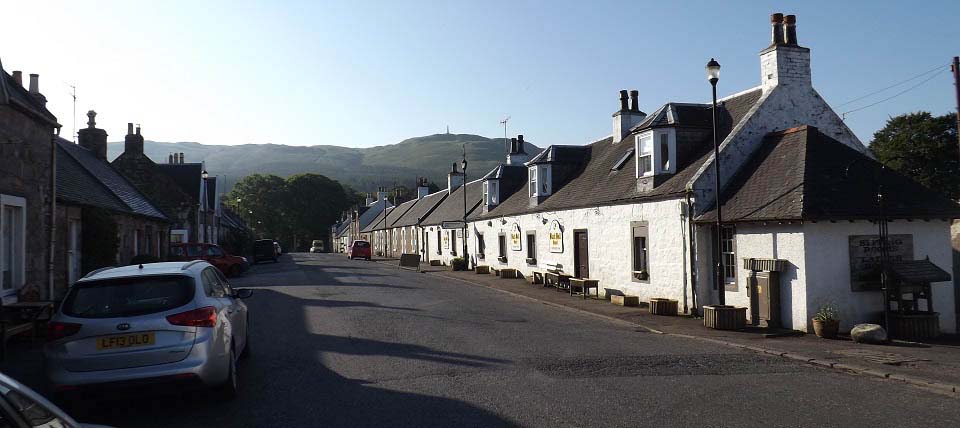
I took the B7045 road from Ayr to
Straiton village, as seen below, then
continued south towards the Nick of the
Balloch on the B7045 following signs for
Glentrool and Newton Stewart, past the hill
with the monument as seen below.
Road
Map
|
|
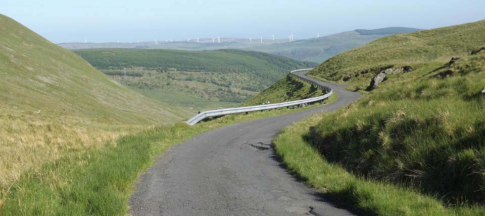
About ten miles south of Straiton, you
will see a sign for the village of Barr.
About 1 mile up that hill road, you come to
the Nick of the Balloch, as seen below.
I had intended to drive down to the
bottom of the Nick of the Balloch, about 1
third of a mile, then park at the Witches
Bridge, where there is room for about 5
cars.
After looking at the passing places up
here, I realized I could park well in off
the road, and still leave space for cars to
pass, so decide to hike from here, where it
is a few hundred feet less to hike, and not
as steep.
|
|
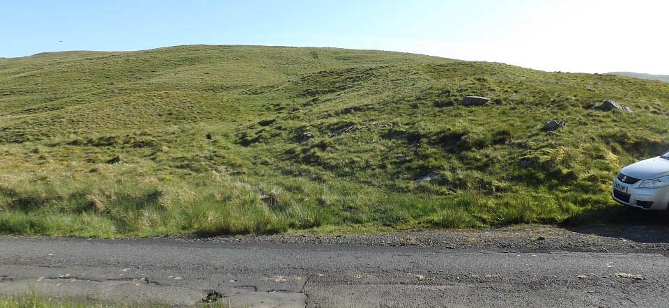
The image below shows the easy route
from the top of the Nick of the Balloch,
following a faint trail.
Note I parked the car well in so to
allow plenty of space for cars to pass.
There are also a few grass verge places you
could carefully park at.
|
|
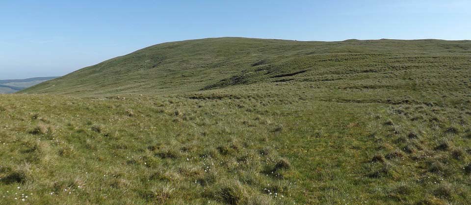
The image below shows the trail to the
top of Pinbreck Hill. The trail leads up to
that little mound, then you follow a fence
to the top. This is a nice steady hike.
Note the steeper Witches Bridge route over
to the left.
|
|
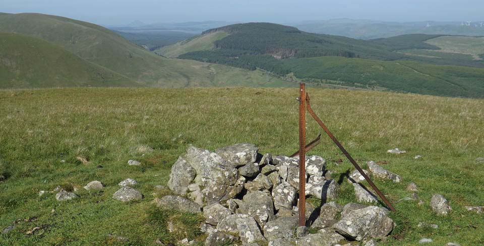
The image below is from the top of
Pinbreck Hill looking southwest. Straight
over that way takes you down the steep side
to the Witches Bridge. The village of Barr
is straight over the hill covered in
trees.
I had though about going straight down
to the witches Bridge, then walk up the
Nick of the Balloch to the car, but Eldrick
hill is about 2 miles east, one of the few
hills in Ayrshire I had not hiked.
|
|
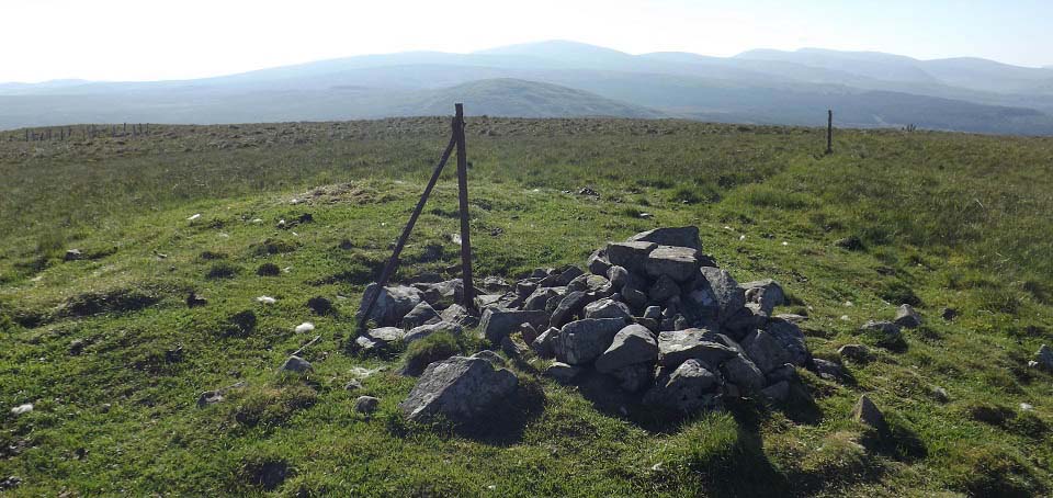
The image below is from Pinbreck Hill
looking east to the 1,594ft Eldrick Hill,
with the 2,520ft Shalloch-on-Minnoch in the
distance behind. About 2 miles from here,
so should be easy going, I thought.
|
|
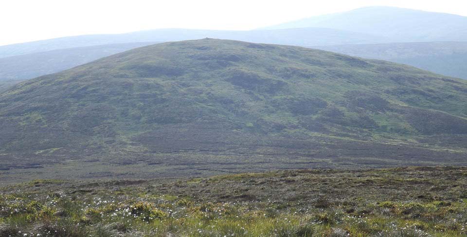
The image below is from the crossing
over to Eldrick Hill. After about half of a
mile, I had to cross a sheep fence. From
then on it was over a mile through deep
heather, with no trail of any kind.
|
|
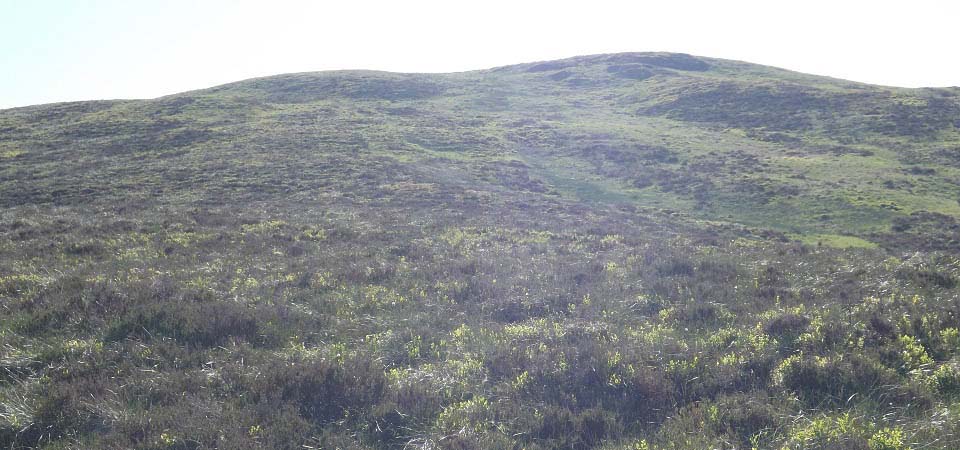
The image below shows the steep west
side of Eldrick Hill. Was surprised at how
quick I got to the top. After hiking
through the deep heather to get to here,
the hike up seemed a doddle.
|
|
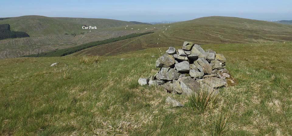
The Image below is from the top of
Eldrick Hill looking back at Pinbreck Hill
and the car park. You get great views of
the Merrick Range from up here.
I decided to take the route back shown
by the lines, to a sub peek of Pinbreck
Hill to get photos down over the Nick of
the Balloch. This route was as tough as the
direct route I took over to here, even
snapped a hiking pole after stepping into a
hidden ditch.
|
|
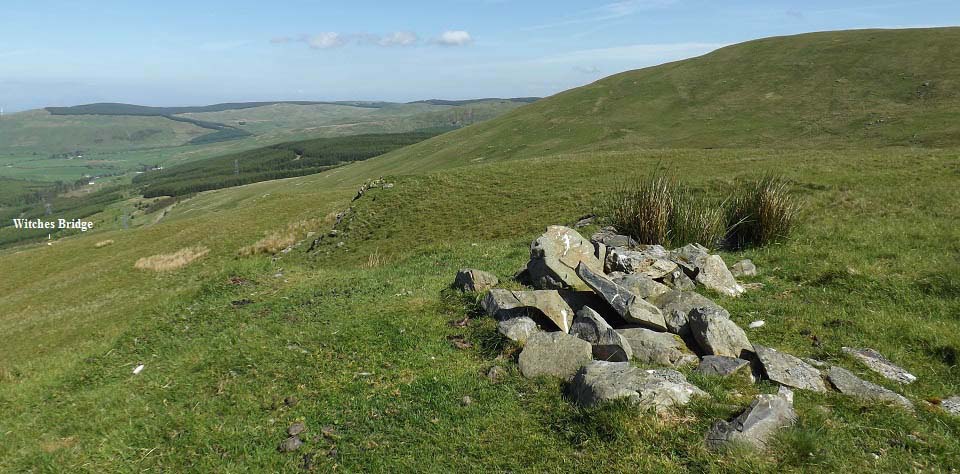
The image below is from the sub peak of
Pinbreck Hill, looking down to the Witches
Bridge car park. This shows the rout up
from the Witches Bridge car park is a fair
bit steeper.
|
|
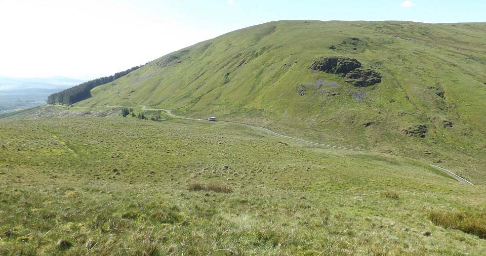
The image below is from heading down
from the sub peak to the car park, next to
where the delivery truck is passing. That
is Rowantree Hill on the other side of the
road. There are a number of hills over
there that are good hiking.
|
|
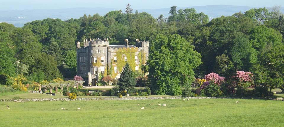
The view below is of Cloncaird Castle
that you pass between Straiton Village and
Ayr, about 2 miles north of Straiton, with
views like this from the roadside.
|
|
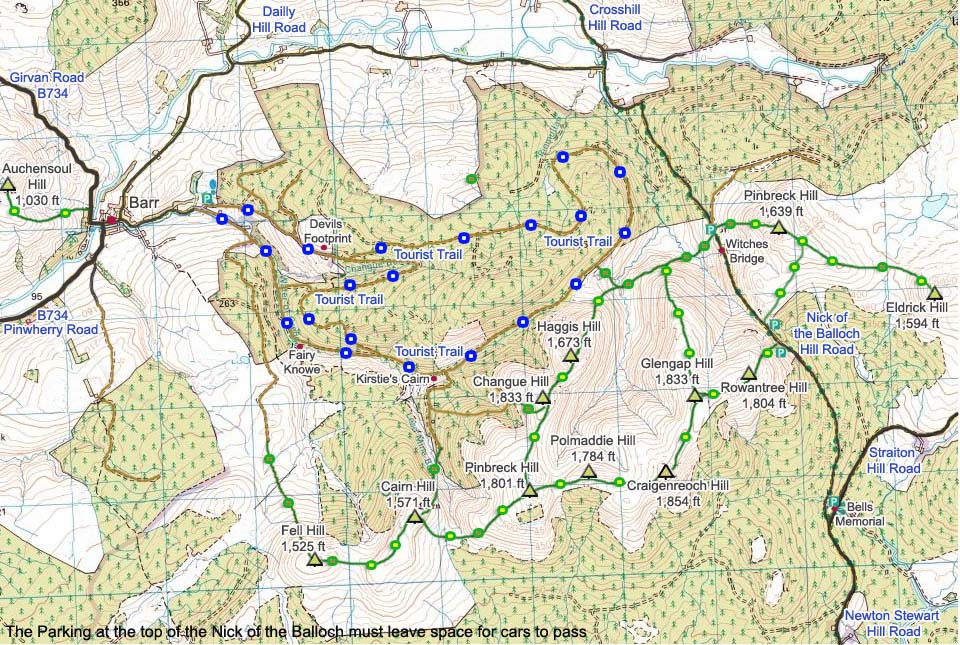
The map below shows Pinbreck and Eldrick
Hills, also the other hills on the south
side of the Nick of the Balloch.
|
|
This was a good steady hike to the top
of Pinbreck Hill, with great views over the
Nick of the Balloch. The hike out to
Eldrick Hill was an adventure hiking
through the deep stuff. Would only try that
part of the hike if you are up for a
challenge. I aim to hike every
hill/mountain in Ayrshire and Galloway, not
many left now.
South Side Hills Photo
Tour
Barr Walking
Routes Photo Tour
|
|
|
