|
Where: Nick of the Ballcoh hills, by
Barr Village, Ayrshire
When: May 20th 2012
Who: I Parker
Why: good weather so a day out to get some
photos
Weather: Sunny
Distance: ?
I wanted a good sunny, early morning
photo down the Nick of the Balloch road
from the side of Rowantree Hill. While
there, I decided to hike round as many of
the hills there as I could. There are
eleven hills on this range above 1,500
feet, 9 on the south side of the road, and
the other two on the north side. The
highest is Craigenreoch Hill at 1,854
feet.
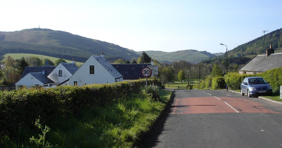
I took the B7045 road from Ayr to
Straiton village, as seen below, then
continued south towards the Nick of the
Balloch on the B7045 following signs for
Glentrool and Newton Stewart, past the hill
with the monument as seen below.
Road
Map
|
|
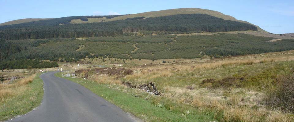
About ten miles south of Straiton, the
road descends quite steep towards the 1,594
feet Eldrick Hill as seen below.
|
|
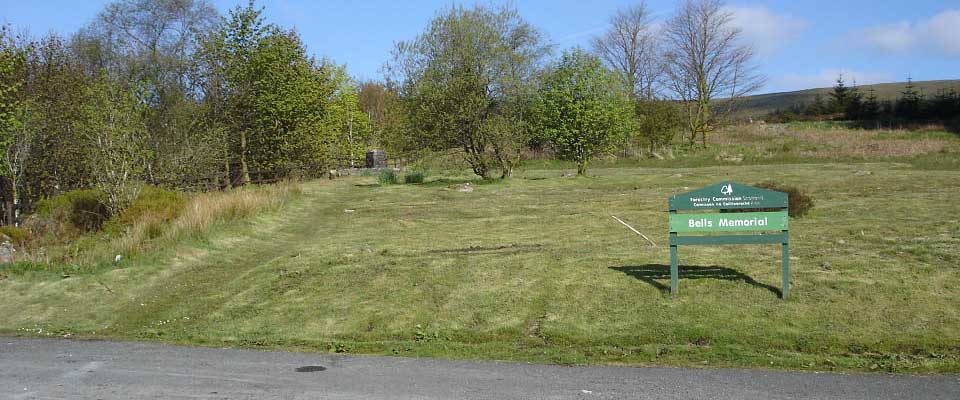
Just past Eldrick Hill is Bells Memorial
with parking and seating. The top Cycle
Road Race in Scotland takes place over the
hill roads here each June, named the South
Carrick David Bell Memorial Road Race. You
get good views of the Galloway Hills,
highest in southern Scotland, from the
memorial.
The road to Barr cuts off a few hundred
yards south of here.
|
|
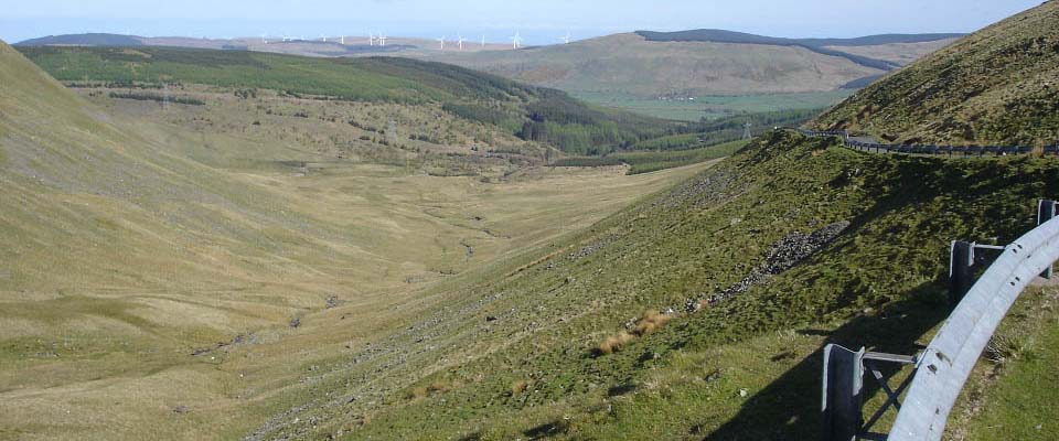
After following the hill road to Barr
for about half of a mile, you reach the
Nick of the Balloch stretch of road, cut
into the hillside with a barrier alongside.
Nine of the 1,500 feet plus hills are on
the left here, and two on the right. There
is a fairly large car park about quarter of
a mile down this road, just past the
Witches Bridge.
If you park at any of the passing places
at the top here, make sure and park as far
in as you can, so you allow enough space
for other cars to pass..
|
|
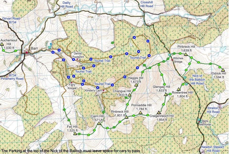
The map below shows the hills around the
Nick of the Ballcoh by the village of Barr.
The blue and white dots show the Tourist
Trails from the village, green and yellow
dots show the good trails, and the green
and brown dots show the rough parts of the
trails.
|
|
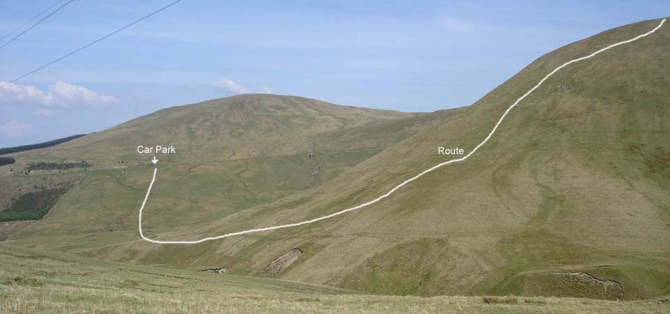
The image below shows where the car park
is, just down from the Witches Bridge, next
to a hill road that leads off the Nick of
the Balloch. You can also park in the
village of Barr and walk out the Changue
Trail to here, about two and a half miles
on a well marked trail from the village. If
you park at the laybys at the top of the
Nick of the Ballock, make sure you park in
far enough that cars can still pass.
The car park is about one third of the
way up the 1,639 feet Pinbreck Hill. The
route onto the nine hills on the south side
is as below going up the west side of the
1,833 feet Glengap Hill. This is fairly
steep, a testing hike.
Large Image
from top of Glengap Hill.
|
|
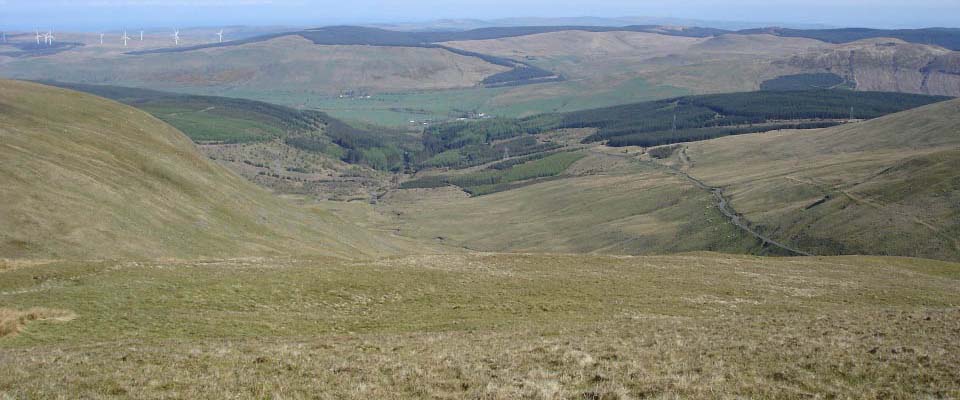
From Glengap Hill, make your way onto
the 1,804 feet Rowantree Hill. The west
side of Rowantree Hill, as seen below,
gives great views down the Nick of the
Balloch. If you do not fancy the steep hike
up Glengap Hill, walk up the road, then
hike up the north side of this hill from
the road, a lot easier route.
|
|
The top of Rowantree Hill gives good
views east to the Galloway hill range
containing the 2,520 feet Shalloch on
Minnoch, 2,579 feet Kirriereoch Hill, and
the 2,766 feet Merrick, highest hill in
Southern Scotland.
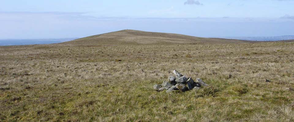
The view below is south towards the
highest hill on this range, Craigenreoch
Hill at 1,854 feet
|
|
The summit of the 1,854 feet
Craigenreoch, as seen below, gives good
views east over the Merrick and southeast
over Loch Trool.
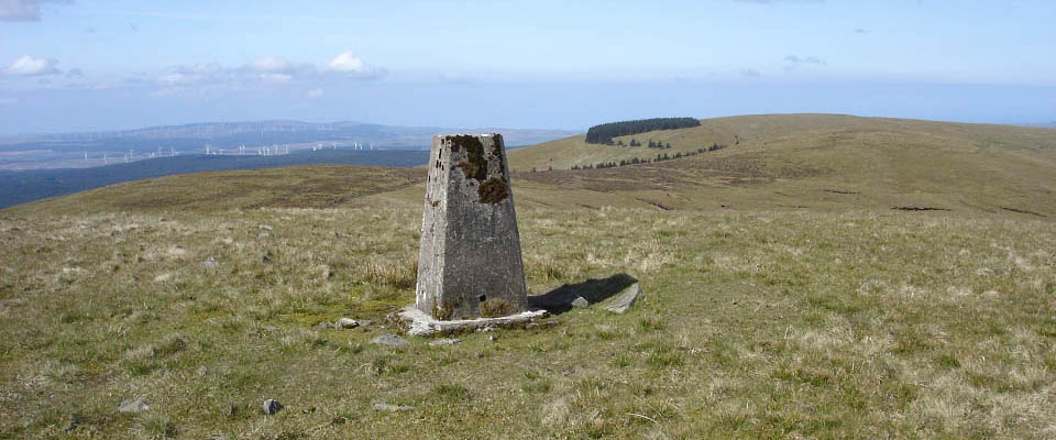
The view below is looking south towards
the 1,784 feet Polmaddie Hill, then beyond
that, the 1,801 feet Pinbreck Hill with the
trees on its east side.
|
|
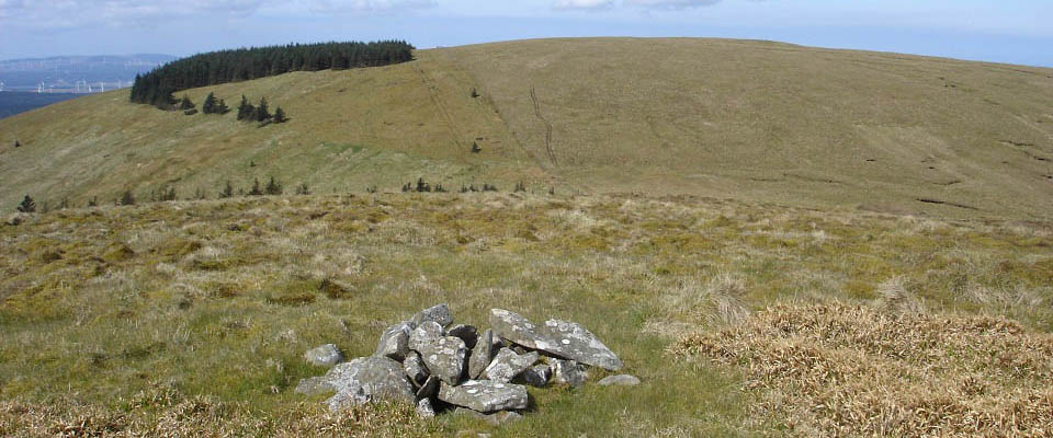
The view below is from the top of the
1,784 feet Polmaddie Hill, looking south
towards the 1,801 feet Pinbreck Hill. There
seems to be two hills on this range named
Pinbreck. There is a bit of a dip down and
hike up to this hill, but not that much.
Following the ridges means, once up on the
first hill, you can go round them all
without descending much between them.
|
|
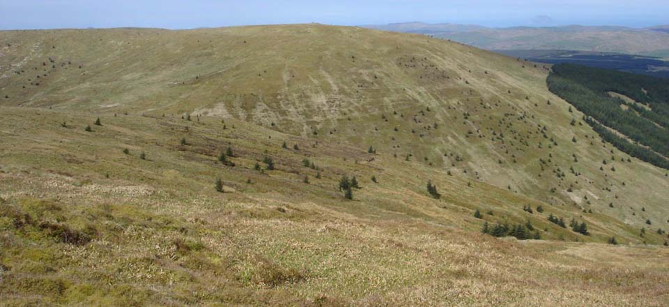
From the top of the 1,801 feet Pinbreck
Hill, as seen below, you get a good view of
the 1,571 feet Cairn Hill with its large
cairn on top. Pinbreck Hill is in the
middle of the hills here. To go round them
all, you have to go south to Cairn and Fell
hills, then come back to Pinbreck Hill to
get onto Changue and Haggis hills.
You can follow the ridge round to the
left here for an easy crossing, or go
directly across as I did, down the steep
west side, cross the narrow Lead Mine Burn,
then hike up the steep east side of Cairn
Hill as seen below. This is the roughest
section of the hike.
|
|
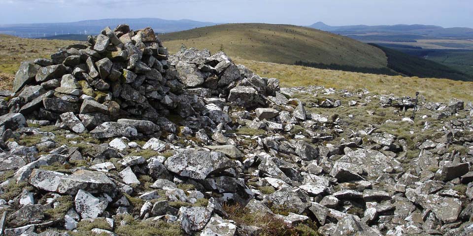
The top of the 1,571 feet Cairn Hill, as
seen below, is marked by a large cairn.
This view shows the 1,525 feet Fell Hill to
the southwest. The crossing here is easy
going with little drop bewteen the
hills.
You get a good view of the Merrick from
here. Large image
east to the Merrick.
|
|
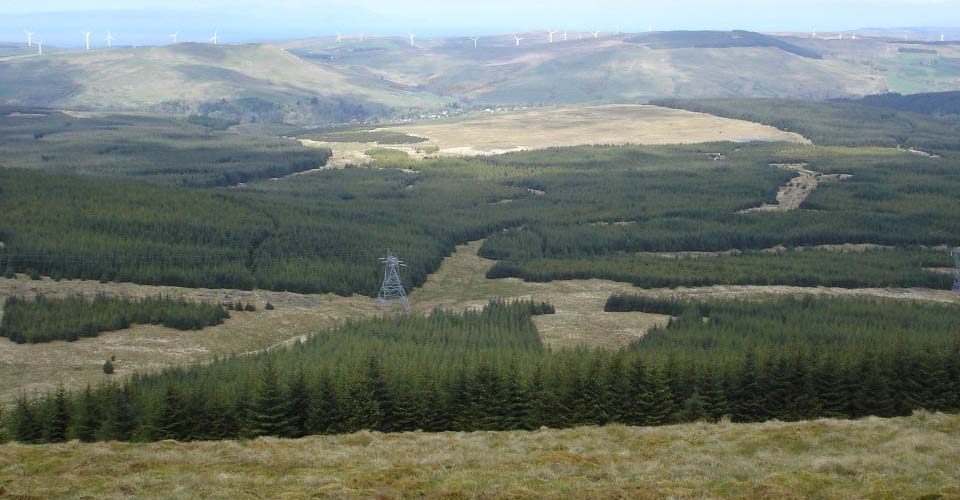
The view below is from the 1,525 feet
Fell Hill looking west to the village of
Barr. There is a road down there that leads
to the village, but getting down to the
road is tough hiking through the deap
stuff. The top of Fell Hill is a thick
spongy stuff, not the best hill to walk
on.
The route now is back over Cairn Hill,
then back to Pinbreck Hill.
|
|
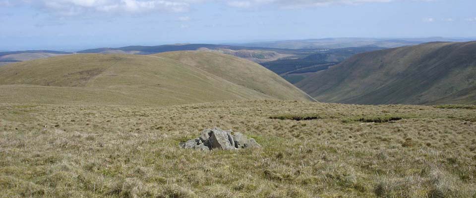
The view below is from the 1,801 feet
Pinbreck Hill looking north to the 1,709
feet Changue Hill. There is little drop
between these hills. Note the sheep fence
running across the hills here. The right
side of the fence is good walking due the
sheep on that side, the left side is a deep
spongy stuff as there are no sheep
there.
|
|
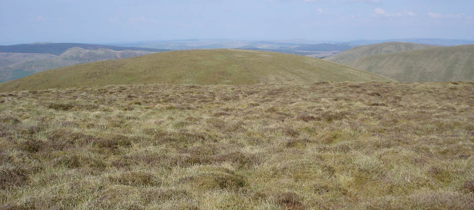
The view below is from the top of the
1,709 feet Changue Hill looking north to
the 1,673 feet Haggis Hill. Changue Hill
summit has no cairn or marker and is
covered in thick spongy stuff.
|
|
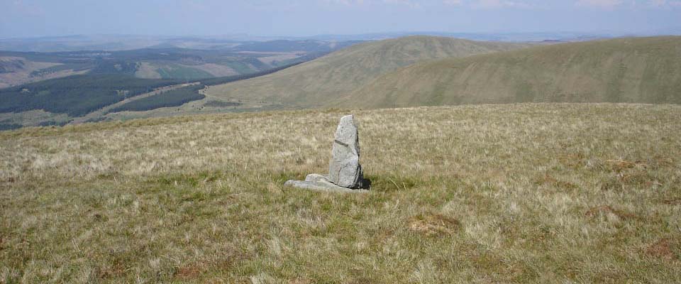
The view below is from the top of the
1,673 feet Haggis Hill towards Glengap
Hill, the Nick of the Balloch road, and the
other 1,639 feet Pinbreck Hill from where
the hike began. There is a bit of a dip
between Changue and Haggis, so was a
testing hike up.
|
|
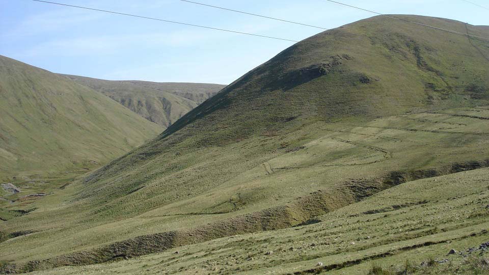
Below is a view back at Haggis Hill
north side. This descent starts off steady
but gets steeper as you go down. There is a
small cliff close to the bottom with about
a 30 foot drop to watch out for, as can be
seen in the image below. The steepest hikes
are from this area, and up the cracking
valley here, plenty of testing routes for
the adventurous.
|
|
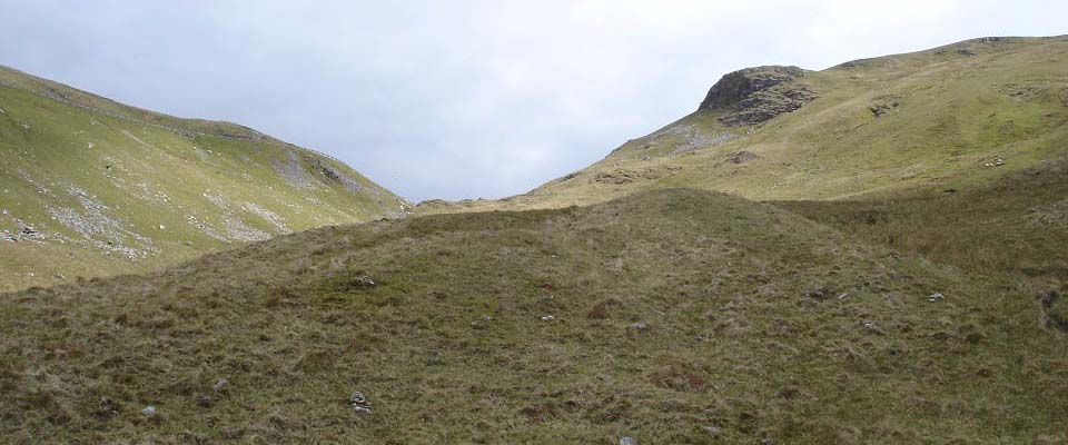
The image below is looking up to the
Nick of the Balloch road from the valley,
showing the barriers are needed as it would
be a long way to roll down in a car.
|
|
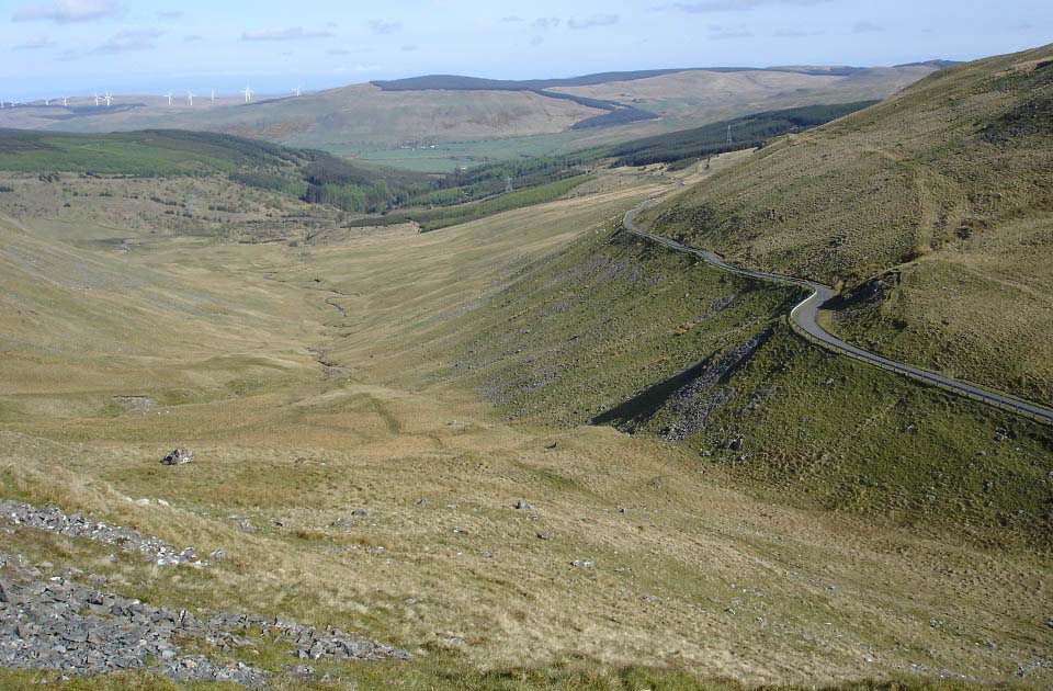
The image below is from the side of
Rowantree Hill looking down the Nick of the
Balloch. This was the image I came here to
get, early in the morning when the sun was
shinning straight down the middle. Over to
the right here is the 1,639 Pinbreck Hill,
and the 1,594 feet Eldrick Hill, the other
hills on the north side of the road.
Large
Image.
|
|
Doing the 12 hills here in one day can
be a long day. There are a few different
ways you could hike them all, or some of
them, including following the walking
routes from the Village of Barr out to
here. The Hill Walking Map allows you to
plan a route to suit yourself.
North Side
Hills Photo Tour
Barr Walking
Routes Photo Tour
|
|
|
