|
Where: Barr Village, Ayrshire
When: May 23rd 2012
Who: I Parker
Why: good weather so a day out
Weather: Sunny in the high 70s
Distance: ?
The weather forecast was sunny in the
high 70s with mist over the sea, so I
decided to head from Ayr southeast inland
for the clear views around the village of
Barr. The main road to Barr is from the
town of Girvan
I decided to go the Dailly village road
then take the hill road to Barr, 15 miles
southeast of Ayr, 1 mile north of Dailly. I
had crossed this road a few times years
back so knew what to expect. I took it easy
going up onto the top of the hills towards
the wind farm, as the road there is narrow
with a lot of blind corners.
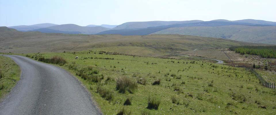
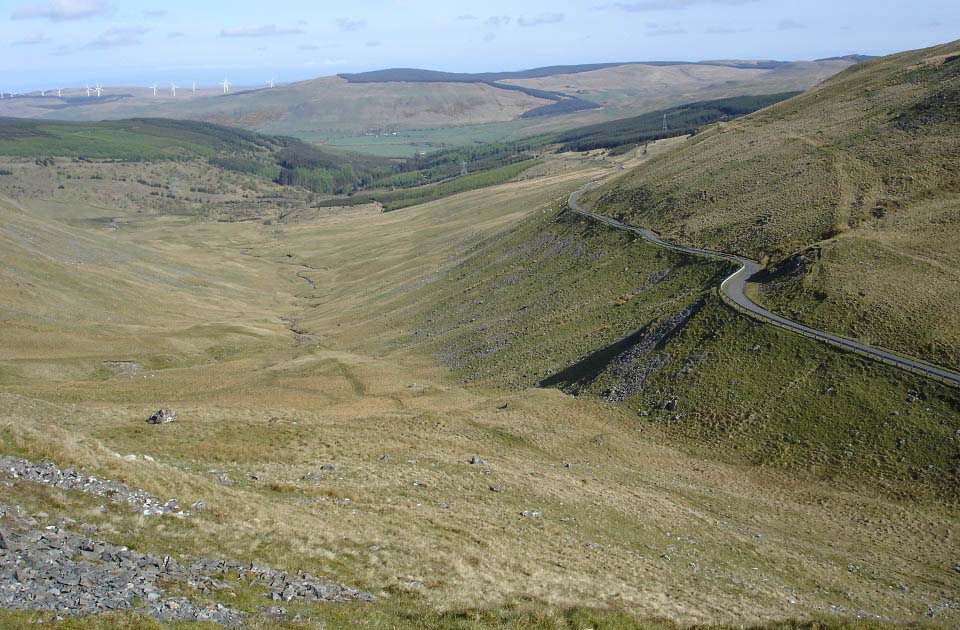
After reaching the top of the hills, as
seen below, the winding road down towards
Barr has great views and many passing
places. It is a great walk, or cycle, from
Barr out to here and back, as few cars use
the road.
There are over 30 miles of roads like
this around Barr, over the Nick of the
Balloch, and on to the Stincher Bridge.
Many top cyclists use these roads in
preperation for the David Bell cycle race
on these roads in May each year. David Bell
used to refer to this area as the Ayrshire
Alps. See the Nick of the Balloch images at
the bottom of the page for the toughest
section.
Road
Map
|
|
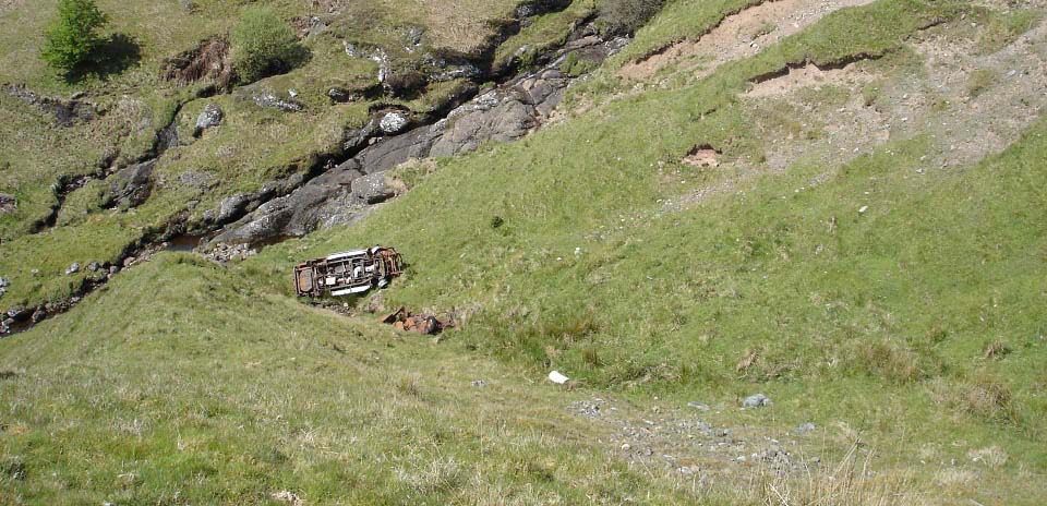
I stopped at a passing place to take
pics of a ravine by the road. There are one
or two cars down there.
|
|
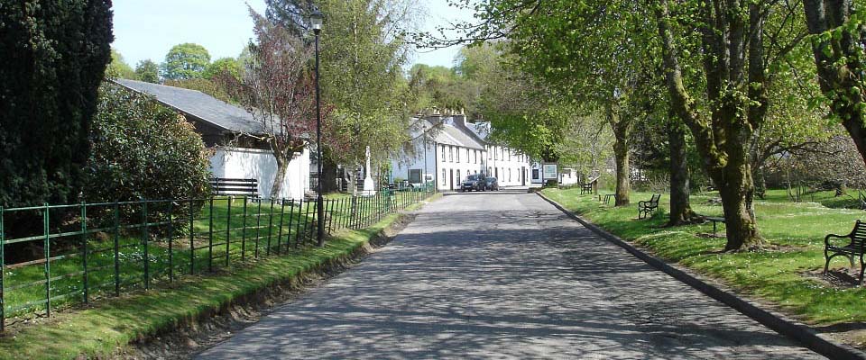
The main street in the Village of Barr
has parking and seating the full length,
with a burn and River Stinchar here that
kids like to explore. The sign here gives
information on the walking trails around
the village.
|
|
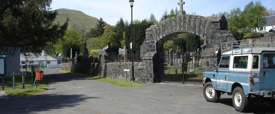
From the cemetery next to the main
street, you get good views of the 1,030
feet Auchensoul Hill. This is a popular
hike from the village with the trail well
marked from only a few hundred yards south
of the village, on the Girvan road. You can
also walk over this hill and ridge towards
Girvan, about 5 miles distance.
|
|
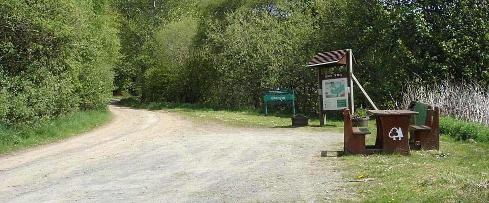
About half of a mile up Changue Road,
straight past the hotel, you reach a car
park at the start of the Changue Plantation
Walking Trails. There are five well marked
trails out here, through the woodland and
onto the hills.
|
|
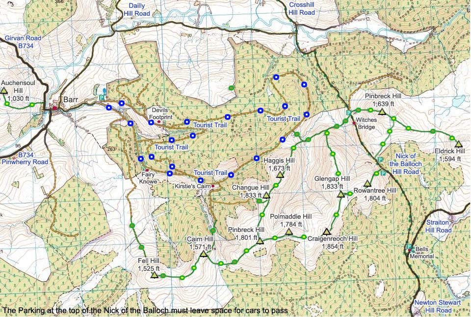
The map below shows the walking routes
by the village of Barr. The blue and white
dots show the Tourist Trails from the
village, green and yellow dots show the
good hill trails, and the green and brown
dots show the rough trails.
|
|
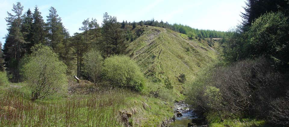
I followed the Changue Trail out for
about 1 mile until reaching Fairy Knowe, a
small steep hill with steps to the top.
|
|
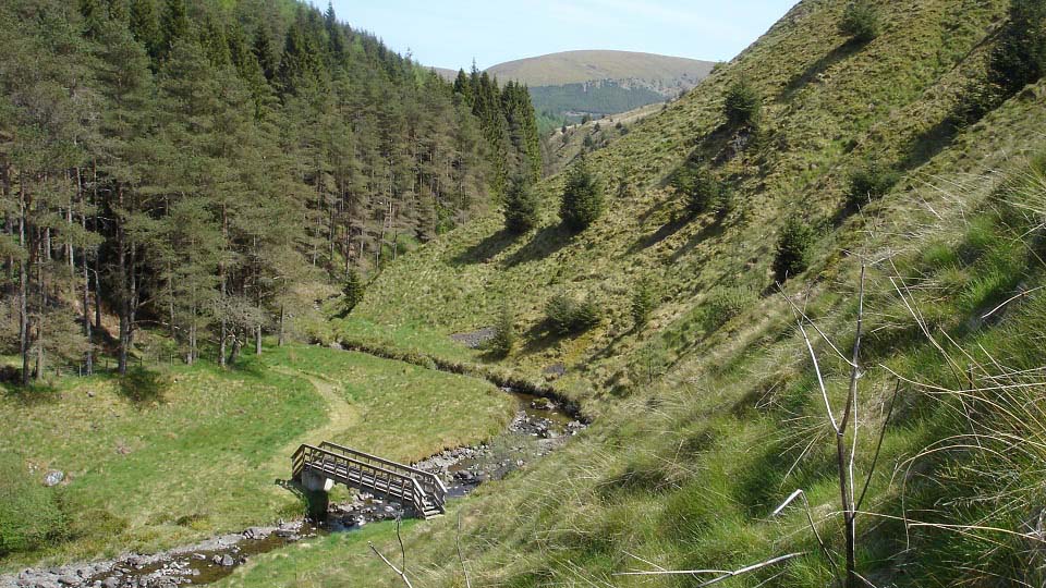
Going up Fairy Know, you see Changue
Hill about 1 mile further north. There is a
trail from the top of Fairy Knowe heading
south. You can also hike north along the
hills from here to Changue Hill, but it
looks tough going. It was unbelievably warm
up there, so decided to go back down and
follow the Changue Trail.
|
|
Following the Changue Trail, I passed a
sign pointing west marked the Devils Trail.
This seemed to go through woodland and up
over a hill. About 1 mile from Fairy Knowe,
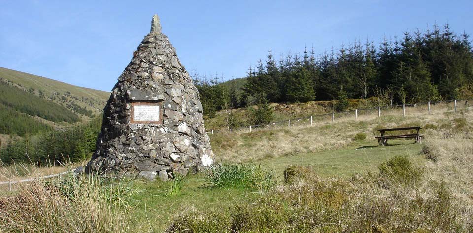
I reached Kirstie's Cairn. The story of the
Memorial Cairn is as follows:
Christopher McTaggart (Kirstie to his
friends and family) a nineteen year old
shepherd lad set out on January 11th 1913
in a raging blizzard to care for his sheep.
Later that day he was found dying by his
twin brother David and two friends. Their
efforts to restore heat to his frozen body
were in vain. He died fifteen minutes
later. With such weather they were unable
to carry his body back. Kirstie's faithful
dog "Wag" refused to leave his master. The
following day between twenty and thirty men
set out for the Howe of Laggan to bring
back the body of their friend. At Kirstie's
funeral the Reverend John Angus charged the
young men of the village to raise a
memorial to the young shepherd and this
they did by building a cairn a few yards
from the spot where he died.
Large
Image.
|
|
You can follow the trail right round
from here, or go over some of the
hills.
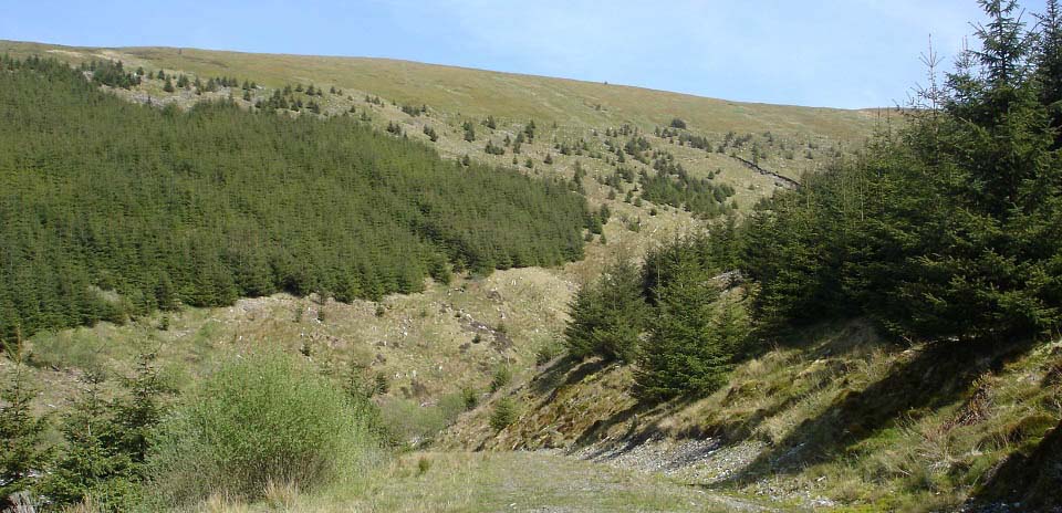
There is a road from the cairn that
leads up into the hills. If you follow the
road straight up, it takes you onto the
1,572 feet Cairn Hill by crossing the Lead
Mine Burn. The road seen below, branches
off to the left half way up, heading north
towards the 1,710 feet Changue Hill. I
followed the tree line here, then up onto
Changue Hill summit. Along the tree line is
tough going in places due to branches left
from tree clearing some years back.
|
|
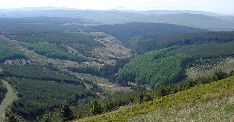
The south side of Changue Hill gives
good views down over Kirstie's Cairn, and
over to the island of Ailsa Craig. The
island could just be seen here sticking out
of the sea mist.
|
|
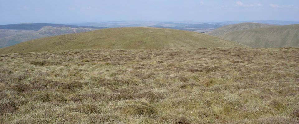
The top of Changue Hill has no marker,
and is covered in thick spongy stuff. There
are ten hills in this area that you can
walk round, with only short drops between
them. The highest hill on this range is to
the east of Changue Hill, the 1,854 feet
Craigenreoch Hill. The view below is from
Changue Hill looking north to Haggis
Hill.
|
|
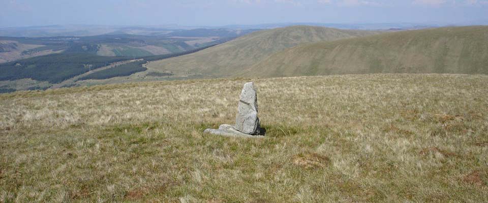
The view below is from Haggis Hill
looking north to Glengap and Pinbreck
hills.
|
|
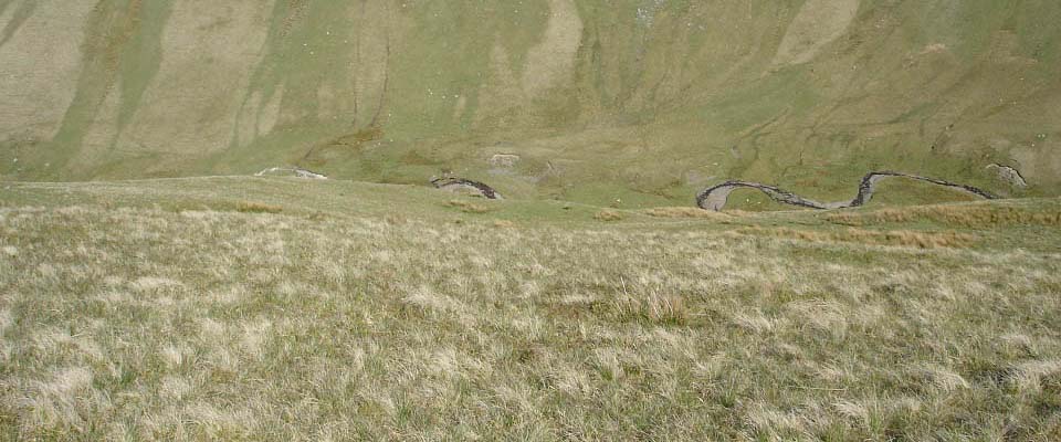
The east side of Haggis Hill is steep
down into what is the most impressive
looking valley I have seen in Ayrshire so
far.
|
|
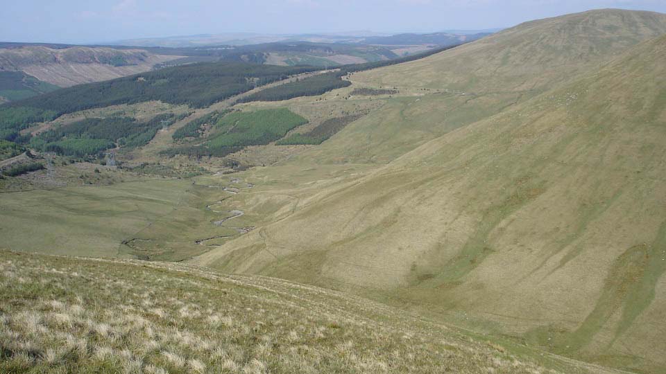
The northeast view from Haggis Hill
shows the steep climb up Glengap Hill, and
the Nick of the Balloch road running up
between Glengap and Pinbreck hills.
|
|
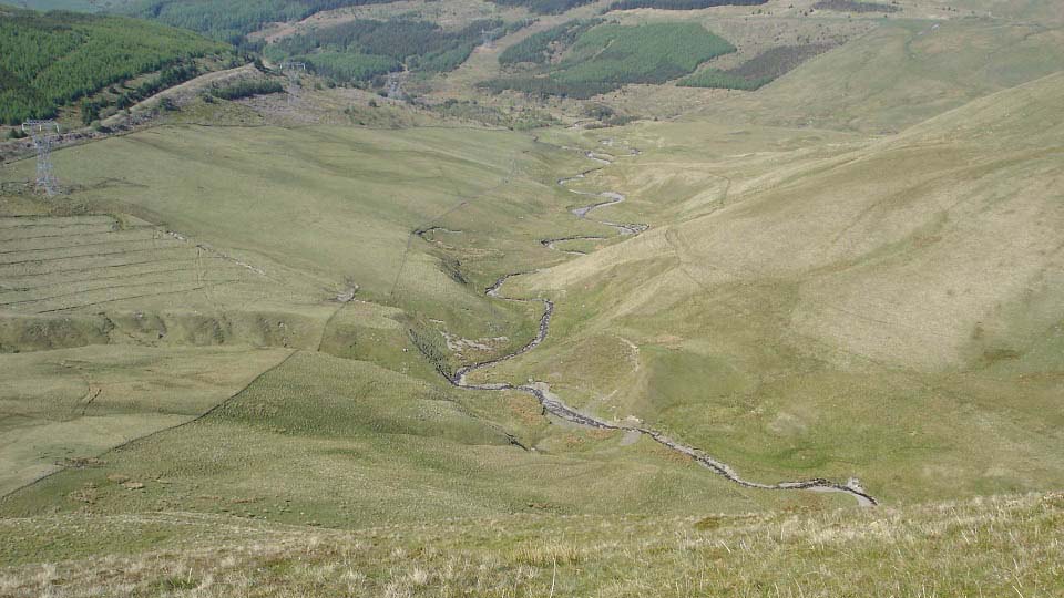
Going down the north side of Haggis Hill
starts off steady then gets steeper the
lower you get. There is a small cliff of
about 30 feet you have to watch out for
close to the bottom, but apart from that it
is a good way down. You can see the Changue
Walking Trail on the left in the image
below, left takes you back to Kirstie's
Cairn, right takes you round to Barr the
longer way. This would also be a good way
up and go back down Changue Hill.
|
|
Below is a view back at Haggis Hill
north side. If you do not fancy climbing a
hill, you should consider a walk up the
valley here as the views are
incredible.
There is a gate here from where this
photo was taken, that leads back onto the
Changue Trail. I took the same trail back
to the car park, should have gone right
round as it is not that much further from
here.
|
|
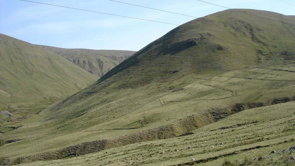
Heading home, I decided to take the hill
road back to Ayr over the Nick of the
Balloch, past Bells
Memorial, and up through the village of
Straiton, my favourite road in
Ayrshire.
|
|
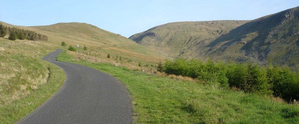
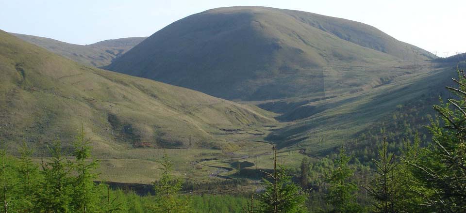
Below is a view of Haggis Hill from the
Nick of the Balloch.
|
|
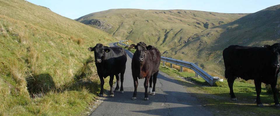
Below is a view of seven cows on the
Nick of the Balloch at a passing place with
the 1,811 feet Rowantree Hill in the
distance. Had to wait a while until they
all squeezed into the passing place. It is
a few hundred feet drop over the side so
did not want to scare any of them over the
edge.
|
|
Below is a view down the Nick of the
Balloch from Rowantree Hill when I was
hiking round most of the hills here earlier
in the week. This road used to be known as
a smugglers road. The image below seems to
show the old cart road was probably a few
hundred feet higher up the hill, a road
that would not have had a barrier.
This is the toughest section for cycling
in the area, and there is another tough
section between here and the Stincher
Bridge, a few miles north heading for the
village of Straiton.
Large
Image.
|
|
When the sun is shinning, the village of
Barr is as picturesque as any in Scotland.
The walking trail through the plantation
was more open than I thought, and most of
the road had grass between the tracks. Saw
two deer on the Changue Trail on the road
back, many sheep, and of course the seven
black cows that looked lost high up in
sheep country.
Ten of the Barr
Hills Hiking Photo Tour
|
|
|
