|
Where: Loch Doon, Ayrshire
When: November 7th 2011
Who: I Parker
Why: good weather so a day out
Weather: Sunny
Distance: 14 miles
Loch Doon is 18 miles east of Ayr, 3 miles east
of the town of Dalmellington. This is a
popular walk, cycle run or drive. The road is
tar but narrow and winding so if you go by
car, you will rarely get out of second gear.
About 20 miles per hour is fast enough anyway
as sheep, walkers and cyclists share the
road.
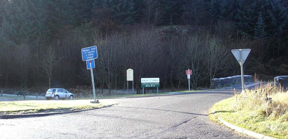
Below is the car park at the start of the
hill road to the loch. This park is just over
1 mile east of Dalmellington next to the road
signed A713 to Castle Douglas & Dumfries.
From here, it is about seven miles to Loch
Doon Castle on the far southeast side of the
loch, a popular walk there and back.
I decided to do the trip in the car as I
was wanting to know if I could reach Loch
Riecawr and Loch Braden as well.
|
|
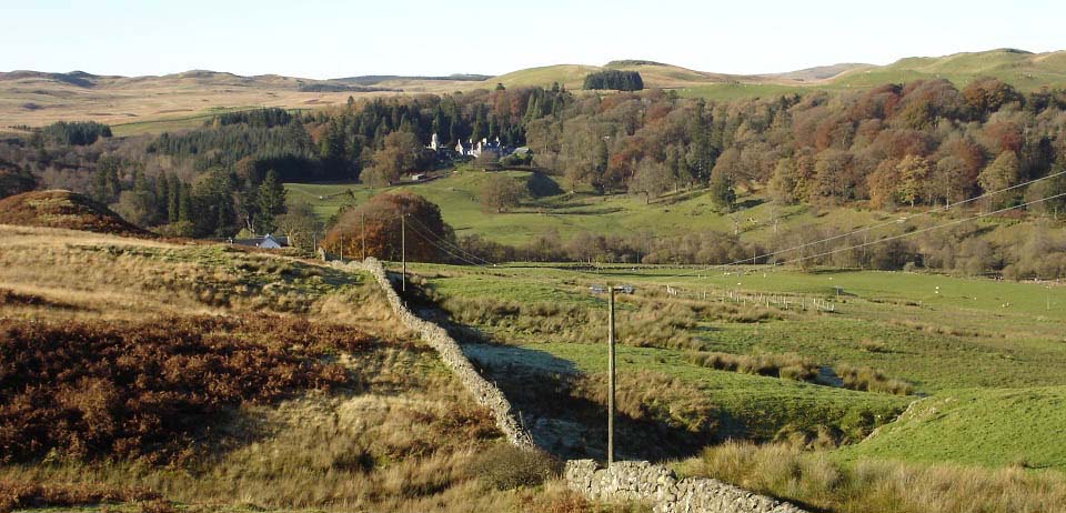
The road winds its way steadily uphill for
about 1 mile. Where it levels out, you get a
good view of Craigengillan Mansion and Estate
on the right hand side. I believe they do
horse riding and other outdoor
activities.
www.craigengillan.com
|
|
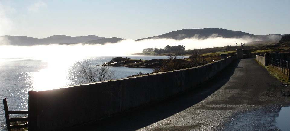
About two miles from the car park you
reach the Loch Doon Dam. The dam was built in
1935 for generating hydro-electricity.
It was a frosty November morning, so by
the time I reached the loch at about 11
o'clock, the sun had raised the temperature
so much there was a thick mist over the loch.
There is a Cafe at the Dam now. Large
Image.
|
|
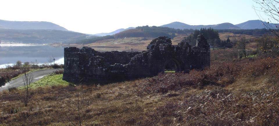
Loch Doon Castle is almost at the
far end of the loch. The castle was
originally built on an island in the loch and
had connections to King Robert the Bruce. It
was moved to this spot next to the loch
before they built the dam to raise the water
level.
There is a plaque inside giving the
history of the castle. Large Image of
the Plaque.
There is a car park at the castle and a
trail from there to to the highest hill next
to the loch, Craiglee at 1,716 feet.
Large Image of
the Castle.
|
|
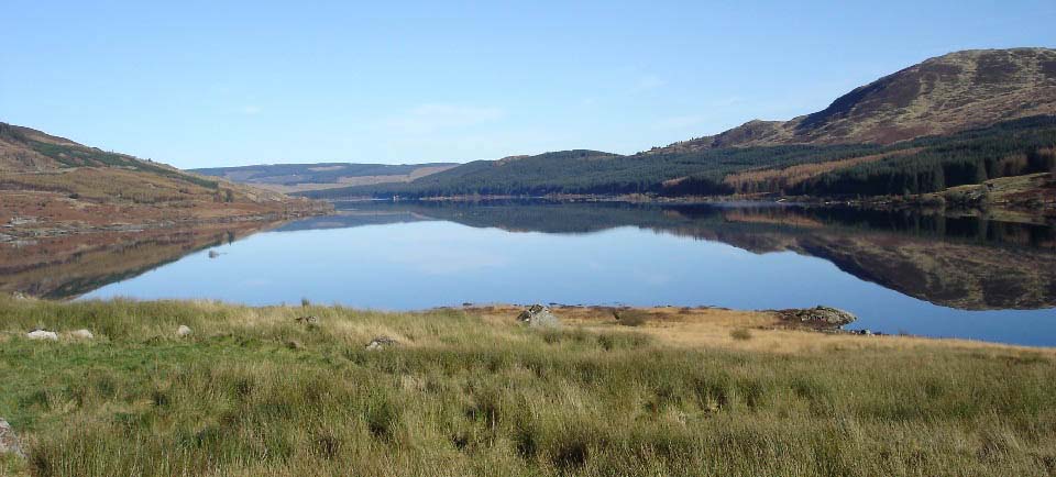
At the far southeast end is a small
cottage looking directly up the loch. It is
surprising a place with such a view has been
boarded up and allowed to fall into
disrepair. The view below is from the front
drive of the cottage. Large
Image.
|
|
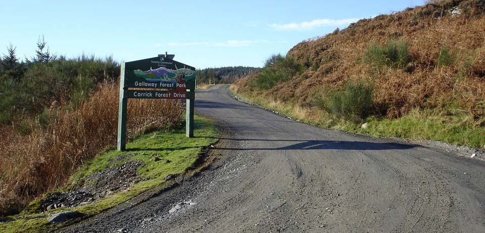
At the south side, just before the
cottage, is an entrance to the Galloway
Forest Park and Carrick Forest Drive. There
is also a large sign giving information on
the type of wild life one should look out for
in the park. There is a pay machine that
costs £2 for a ticket that allows a day
in the park. The road is loose ground with a
few pot holes here and there so I would not
attempt it in car with really low ground
clearance, great for walking or biking.
This was the part I was unsure of. I now
realized I could travel this road, past
another two lochs, then into the scenic
village of Straition, that is about 14 miles
southeast of Ayr.
You rarely get out of second gear on this
road and there is normally a large truck
working along the road transporting timber
out of the park, you may have to pass that
truck once or twice.
|
|
A few miles into the park you pass a few
walking trails that are sign posted with
information on what wildlife is in the
area.
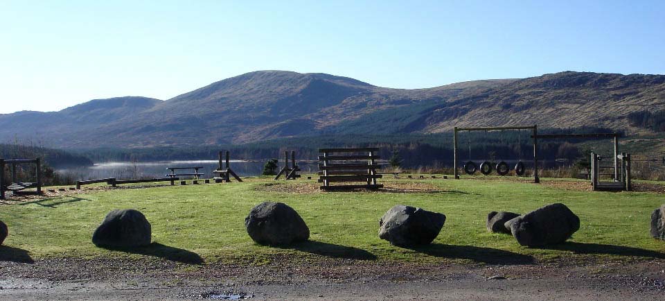
You then reach Loch Riecawr that also has
a dam, kids play area and seating. This is a
scenic loch with good hill walking down the
west side. The highest hill in this image is
Shalloch-on-Minnoch at 2,520 feet. There is a
road from this car park down the side of the
loch to the bottom of the hill.
The border between Ayrshire and the county
of Dumfires & Galloway is close to here.
One old map I viewed shows Loch Riecawr and
Shalloch-on-Minnoch are in Ayrshire. Shalloch-on-Minnoch Map. Large Image.
Shalloch-on-Minnoch Walk
|
|
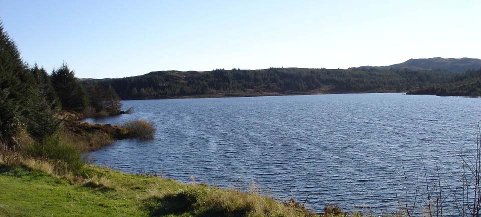
Another few miles into the park you reach
Loch Braden, also with a dam. From the dam,
you can see the mountains on the Isle of
Arran. There are two roads out of the park
from here. The direct road out from Loch
Braden onto the Straiton to Newton Stewart
road takes you through a timber
loading/unloading point so you may have to
wait until a truck is loaded or unloaded. The
best and most scenic road out is to go back
to the road signed for the Stincher Falls
about one mile before you reach the dam at
this loch. Large Image.
|
|
A couple of miles from the dam at Loch
Braden you reach the Stincher Falls next to
the road that runs between Straiton and
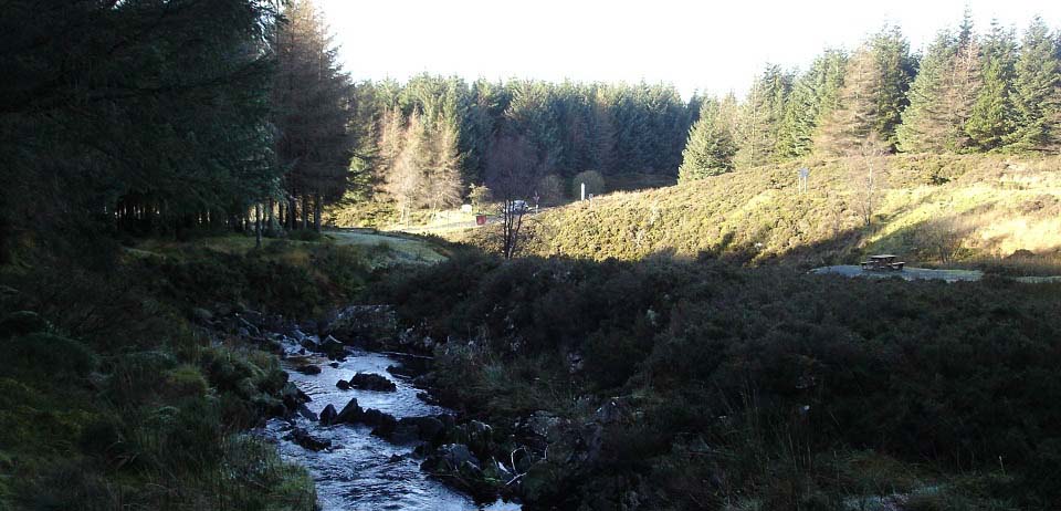
Newton Stewart. These are small scenic falls
with seating areas and a trail through the
woods.
You can walk to the larger Stinchar Falls
about 3 miles out a woodland path.
Stinchar Falls Photo Tour
|
|
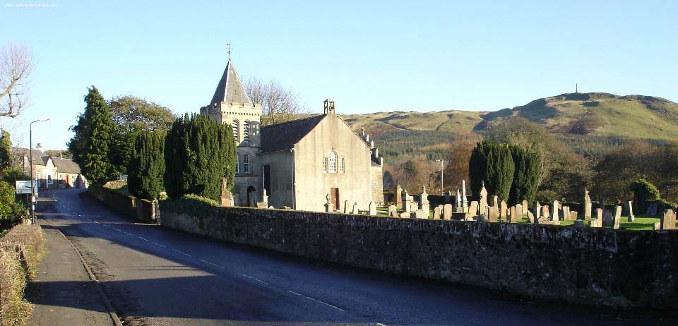
From the Stincher falls it is 7 miles
north to the scenic village of Straiton.
There are a few excellent walks about
Straiton including one that takes you to the
hill in the distance with the monument on
top.
|
|
It is about a 14 mile drive northwest to
Ayr from Straiton passing through the village
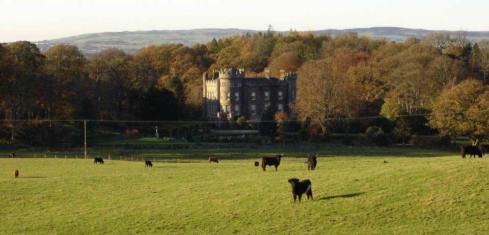
of Kirkmichael on the way. Between Straiton
and Kirkmichael, you will see, down on your
left side, Cloncaird Castle. When this castle
was put up for sale a few years back, Brian
May of the rock group Queen was one of the
high profile people to view it. The castle
was eventually bought by a local
businessman.
There are self catering cottages for
holidays in Cloncaird Estate and
the neighbouring Blairquhan
Estate.
|
|
The route from the car park before Loch
Doon to the village of Straiton was a little
over 20 miles, through what is some extremely
interesting scenery. I managed to fit in the
walk to the Monument high above Straiton
before heading back to Ayr. You can view some
interesting images of that walk at Straiton
Walk.
Loch Doon
Map.
|
|
|
