|
Where: Stinchar Falls, Ayrshire
When: May 2014
Who: I Parker
Why: heavy rain the night before so good
for viewing waterfalls
Weather: sunny spells
Height: ?
Distance: about 3 miles out to the falls,
and 3miles back
The car park for the walk to the
Stinchar Falls is 21 miles southeast of
Ayr, next to the B741 road that runs
between the Villages of Straiton and Newton
Stewart, at the Stinchar Bridge.
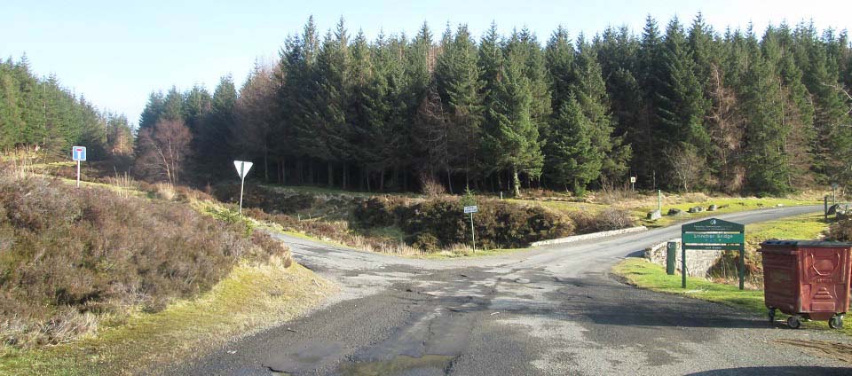
The Stinchar Bridge, and large Car Park,
just in to the left on the image below, are
7 miles south of the scenic village of
Straiton, next to
the B741 hill road.
There are also a couple of hill and
mountain hiking trails from this car
park.
Road
Map
|
|
The image below is from the entrance to
the large car park looking at the Stinchar
Bridge. The Stinchar Falls trail is where
the white lines are on the image, leading
out and round to the right.
I thought the falls were only about 1
mile out, but soon found they are about 3
miles out.
|
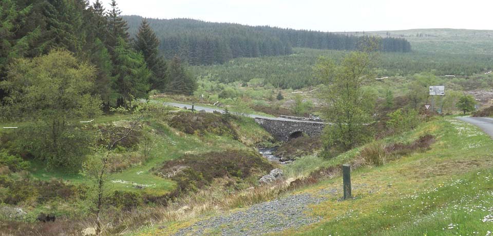
|
The image below is from where the path
turns into a red forest road.
|
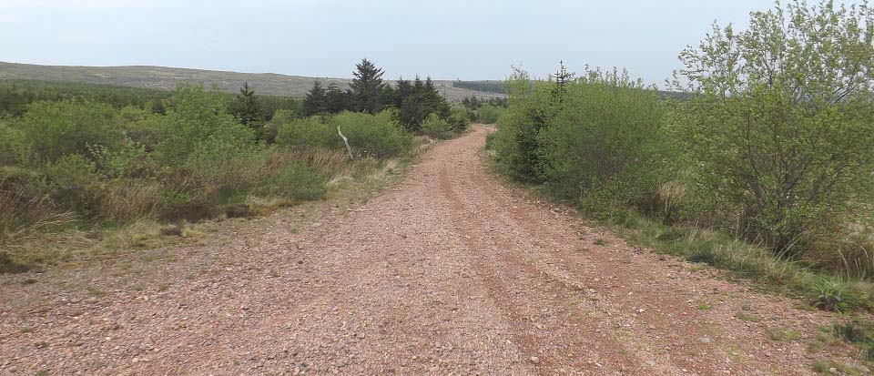
|
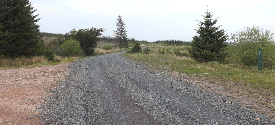
The image below is where the red forest
road meets a main forest road. The green
sign is pointing towards the falls.
|
|
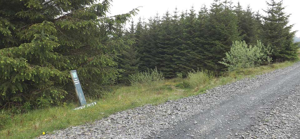
The image below is from about 1 mile
along the main forest road. This sign is
pointing to a winding trail down through
woodland towards the falls..
|
|
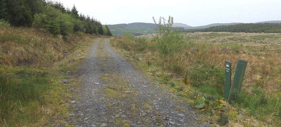
The image below is from the bottom of
the winding woodland path, where another
sign points to the falls along an old
forest road. It is about 1 mile from here
to the falls, going downhill in between
hills..
|
|
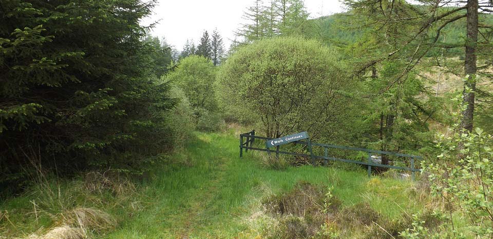
The image below is from the end of the
old forest road. The sign here is stating
the trail continues from here to the falls
as a narrow footpath, about 200 yards from
here.
|
|
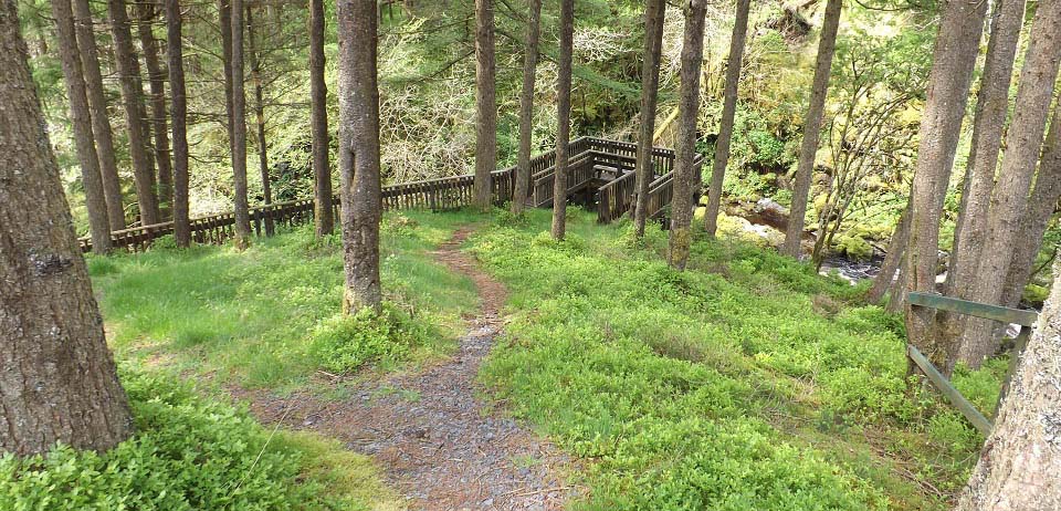
Below is an image from the narrow trail
as it reaches the Stinchar Falls viewing
platform.
|
|
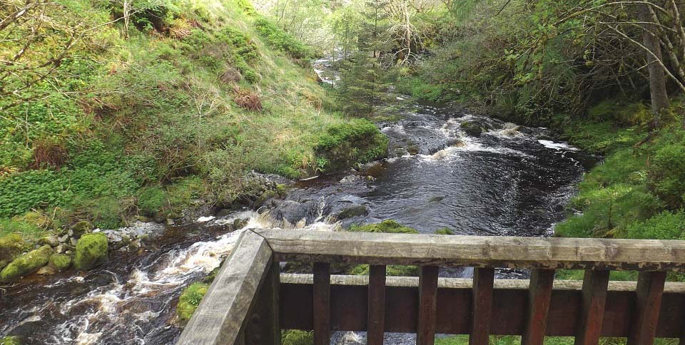
The image below is from the viewing
platform looking up river. The River
stinchar is really only a burn from the
Stinchar Bridge to just above this point.
It is hear it starts to look more like a
river.
|
|
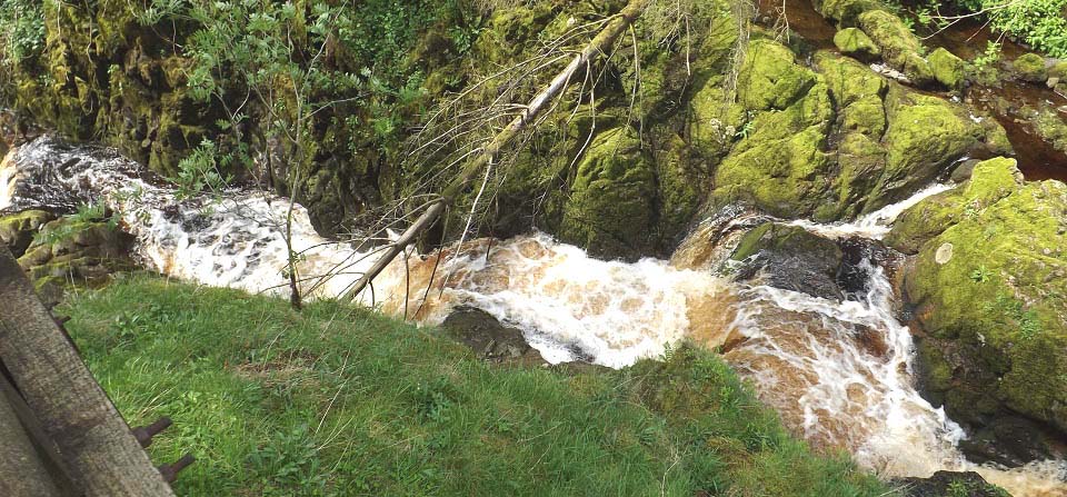
The view below is looking down from the
viewing platform to the Stinchar Falls.
There had been thunder, lightning and
rain storms through the night, so there was
plenty of water and noise to be seen and
heard from here, as all that water was
being forced down this narrow channel.
|
|
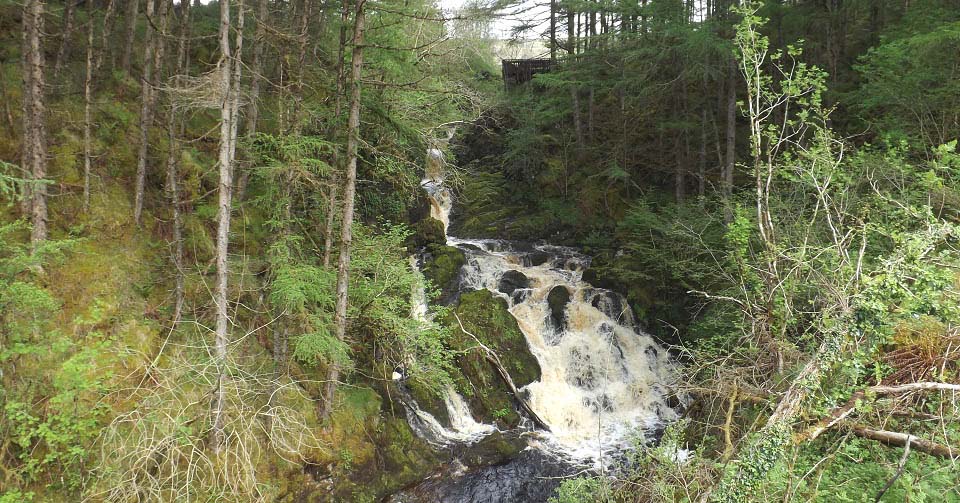
The image below is from the bottom side
of the Stinchar Falls. Had to wait a while
for the sun, so decided to make my way over
for this image.
The route from the platform to here is
extremely dangerous, through fallen trees,
crossing burns and along the top of cliffs
covered in slippy moss, so is not
recommended.
Large
Image
|
|
This was a nice walk that was fairly
level most of the way, just two short
sections with a bit of an incline. The
walking surface is mainly loose stone, so
stout footwear is advised.
Heading back to the car park, just
follow the signs back.
|
|
|