|
Where: Shalloch-on-Minnoch mountain,
Ayrshire
When: March 12th 2014
Who: I Parker
Why: good weather so a day out
Weather: Sunny
Height: 2,520ft / 768m
Distance: ?
The 2,520 feet Shalloch-on-Minnoch
mountain is 21 miles southeast of Ayr next
to the B741 road that runs between the
Villages of Straiton and Newton Stewart, by
the Stinchar Bridge.
The parking areas are about 1,000ft
above sea level, so the actual hike up
Shalloch-on-Minnoch from here is about
1500ft.
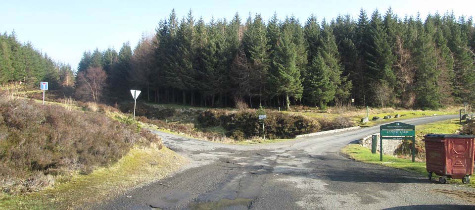
The large Car Park is just in to the
left here. The Stinchar Bridge here is 7
miles south of the scenic village of
Straiton, next to
the B741 road, as seen below.
The forest road to the left is the
Carrick Forest Drive, that leads to Loch
Braden, Loch Riecawr, Loch Doon and
Dalmellington.
You can park at this large car park and
walk down the main road, over the bridge,
about one third of a mile to the large
LayBy where this hike begins, or drive down
to the LayBy and park there.
Road
Map
|
|
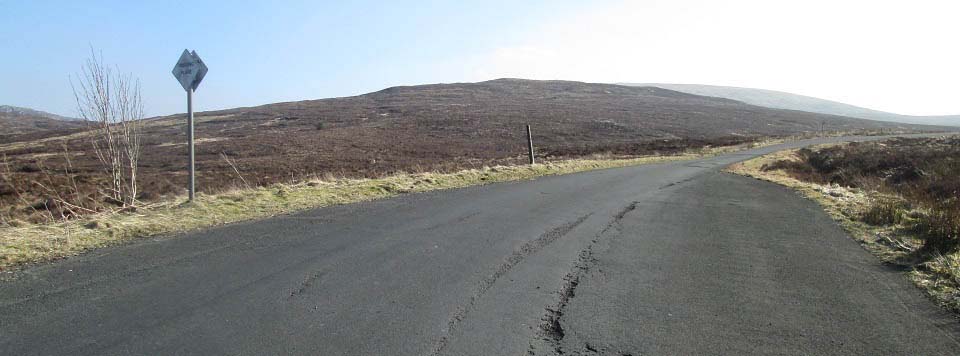
The image below is from the large LayBy
about one third of a mile south of the
Stinchar Bridge. You can park a few cars
here into the right, close to the edge, and
still leave space for passing as there is a
passing place at each side of the road,
only park on the one side though.
The small hill there is the 1,558ft
Cairnadloch, 2,162ft Caerloch Dhu behind
that, and you may just see the tip of the
2,520ft Shalloch-on-Minnoch behind
that.
There is a narrow trail that runs down
past the sign here to a burn.
|
|
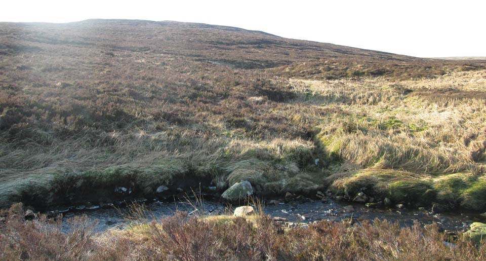
The image below is of the burn about 50
yards from the LayBy. This may be
un-crossable if there has been a lot of
rain.
There is a faint trail from here to the
top of Cairnadloch. Stray off this narrow
trail and you will be up to your knees in
heather. This trail is getting wider as
there seems to be a lot of people using it
now.
|
|
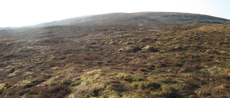
The image below is from the top of
Cairnadloch looking towards Caerloch
Dhu.
It only took about 15 minutes to get to
this point. The trail gets easier to follow
from here, a bit soggy in places though,
but nothing bad.
|
|
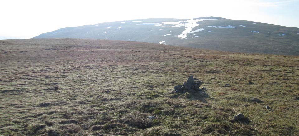
The image below is from the second cairn
on Caerloch Dhu, looking south to
Shalloch-on-Minnoch.
It took about 40 minutes to hike from
Cairnadloch to this point on Caerloch Dhu,
a steady slog straight up, no zig
zagging.
|
|
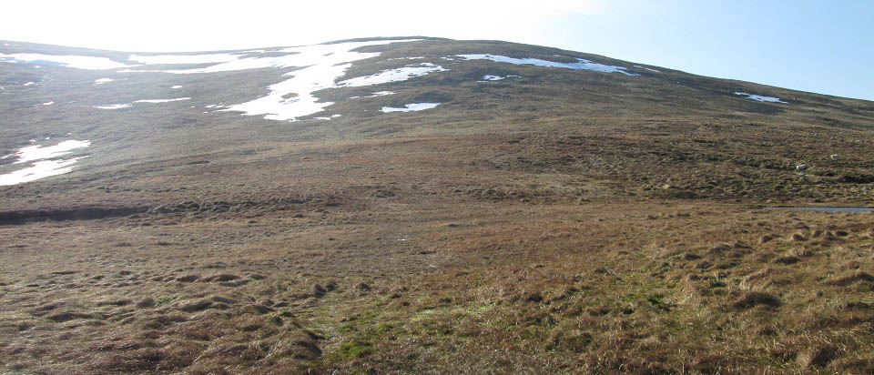
The image below is from the low point
crossing over to the north side of
Shalloch-on-Minnoch. This low point is
about 2,030ft, so is about a 500ft hike
from here to the top of
Shalloch-on-Minnoch.
The faint trail leads up where most of
the snow is, then runs out when it hits the
rocks. It takes about 30 minutes to get to
the top.
If you want a tougher final hike, cross
over to the left in the image below, then
hike up the east ridge.
Large Image of
the East Ridge.
If you want an even tougher hike, go
round the bottom on the east ridge and up
the east side, but that is really steep,
and a little dangerous. Large image of
the east side route.
|
|
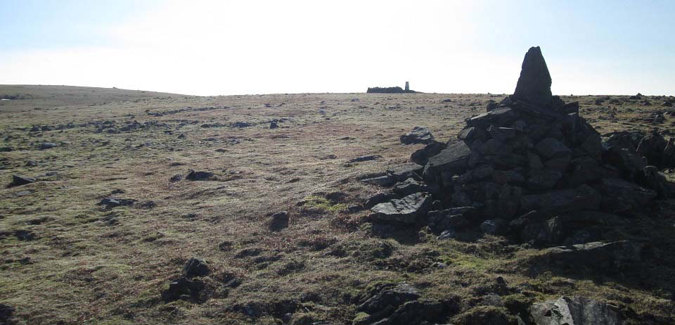
The image below is of the north cairn on
Shalloch-on-Minnoch with the Trig Point
further on. You get great views all around
from here, the top of Ayrshire, south to
the 2,766ft Merrick, west to the Isle of
Arran, north to Irvine, and east to the
Dungeon and Corserine ranges.
You can hike down all this range to the
hiking car park at Loch Trool, but that is
a real tough hike, averaging 8 hours, and
you need to get dropped off and picked up,
or use two cars for that. Large Map of the
Range
|
|
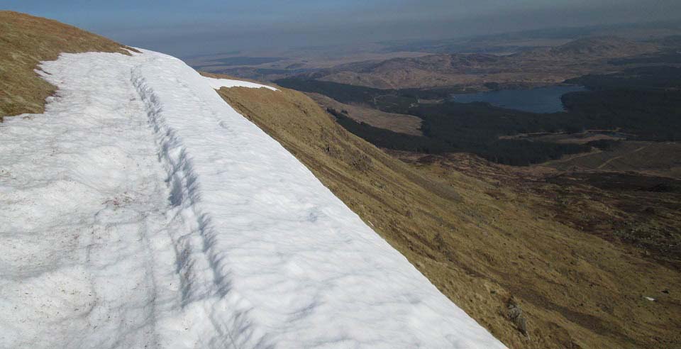
The image below is from the east side of
Shalloch-on-Minnoch looking northeast to
Loch Riecawr and Loch Doon beyond that. The
Tunskeen Bothy is down to the right in this
image.
The east side here only has one steep
hiking route up, the rest are scrambling
routes.
Large image
of the route up the east side
|
|
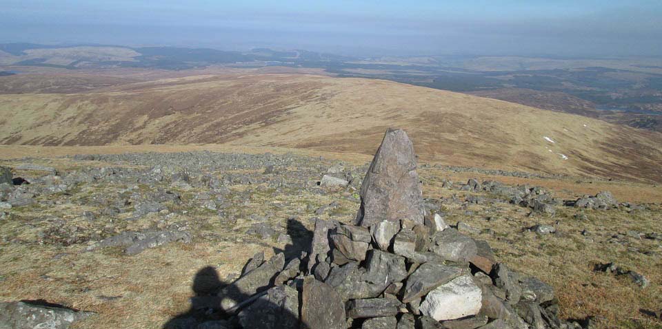
The view below is from the north cairn
on Shalloch-on-Minnoch looking back down to
Caerloch Dhu, back the same way as this
photo tour showed the route up.
In a clear day, following the trail back
down is straight forward. In thick cloud
though, it is real difficult finding the
trail without a compass. Up here in cloud
without an OS map and compass is not
advised.
|
|
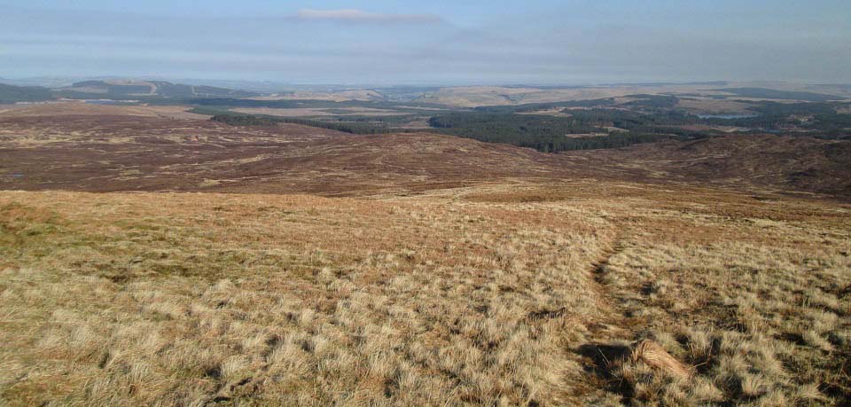
The view below is from Caerloch Dhu
looking north to Cairnadloch.
This image gives a good view of the
trail, that is like this most of the
way.
|
|
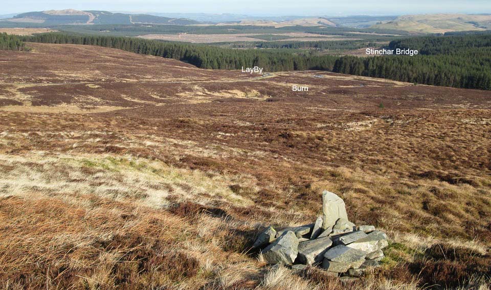
The view below is from Cairnadloch
looking north to the large LayBy and
Stinchar Bridge.
|
|
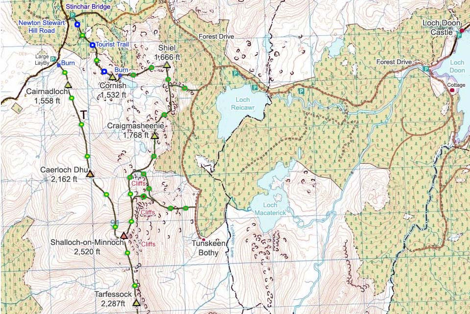
This route is one of the easiest ways to
get to 2,500ft, averaging 1 hour 30 minutes
to the top. Doing the loup round Cornish,
Shiel, Cragmasheenie, Shalloch-on-Minnoch,
Caerloch Dhu and Cairnadloch is a lot
tougher, as Shiel and Craigmasheenie are
fairly tough hiking. Expext to take between
5 and 7 hours for that route.
This can be a great hike for amature
hikers, as long as it is a clear day. Avoid
the Shalloch-on-Minnoch hike in cloud
though, unless you know how to use a hiking
map and compass, 2,500ft in cloud can be
dangerous.
|
|
|
