|
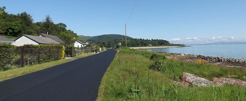
The image below is of Sannox village
looking north. Sannox is 8 miles north of
the main ferry port of Brodick on
the Isle of Arran.
This is a small scenic village with a
number of houses overlooking Sannox Bay.
Brodick to
Sannox Map
|
|
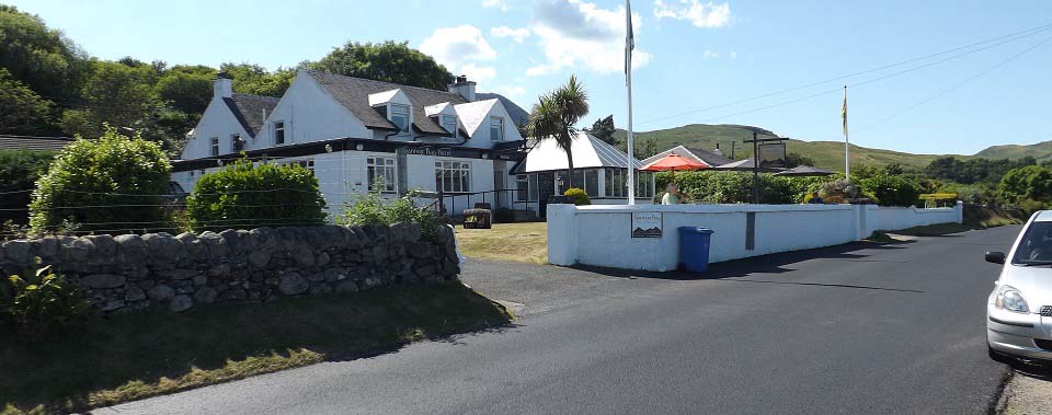
The image below is of the Sannox Bay
Hotel in the village centre with its beer
garden having fantastic views across Sannox
Bay.
sannoxbayhotel.co.uk
|
|
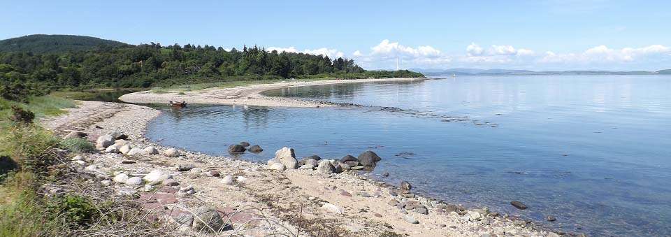
The image below is of Sannox Bay looking
north. There is a coastal path that leads
to Lochranza on the north side of Arran,
about 7 miles in distance.
You can follow the coastal path all the
way, or follow the coastal path just over
half way, then cross the hills for great
views down over Lochranza.
|
|
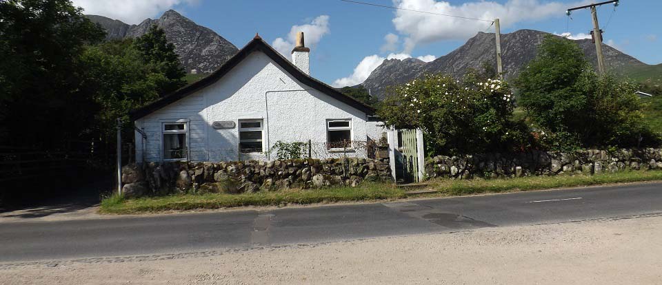
The image below is from a car park on
the north side of Sannox. The coastal trail
to Lochranza starts from this car park.
There is also a trail from here down
between the mountains to Brodick. That
trail leads past the left side of the
cottage below, down Glen Sannox, over the
Saddle, down Glen Rosa then on to
Brodick.
|
|
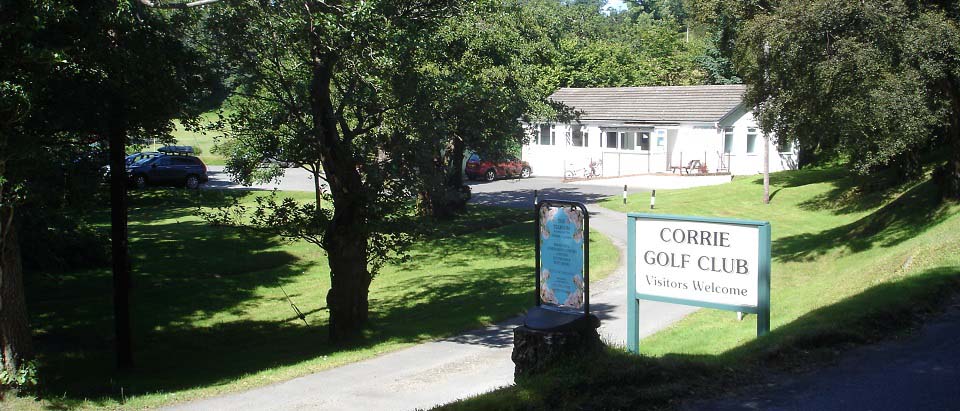
The image below is of Corrie Golf Club
and diner, 1 mile north of Sannox. This is
an inexpensive course with an honesty box
for payment if there is nobody about. The
diner is popular for tea and lunch.
|
|
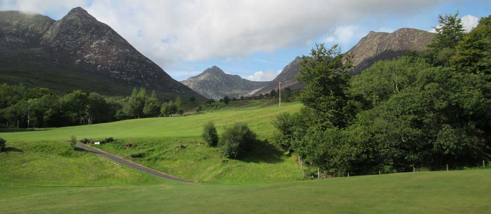
The image below is from the Corrie Golf
Course looking down Glen Sannox. The trail
to Brodick goes down the middle, passing
the left side of the 2,621 ft Cir Mhor
mountain in the distance.
|
|
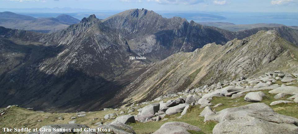
The image below is of The Saddle from
Goat Fell mountain. The Saddle is the
toughest part of the trail between Sannox
and Brodick, 1,400 ft high, and steep. The
rest of the trail is fairly level with
stunning views of the mountains.
|
|
There is a Pony Trekking
Centre 1 mile north of Sannox.
North Glen Sannox car park is just over
1 mile north of Sannox, normally used for
the well marked trail into the mountains
and to waterfalls.
You can use this trail to get onto the
second highest mountain on Arran, the 2,818
ft Caisteal Abhail.
Photo Tour
of the Hike to Caisteal Abhail via the safe
northeast route.
|
|
|
