|
Where: Lendalfoot Hill/Balsalloch Hill
in South Ayrshire
Height: 614 feet / 187m
When: May 25th 2012
Who: I Parker
Why: good weather so a day out to take some
photos
Weather: Sunny about 25c/ 76f
Distance: ? miles
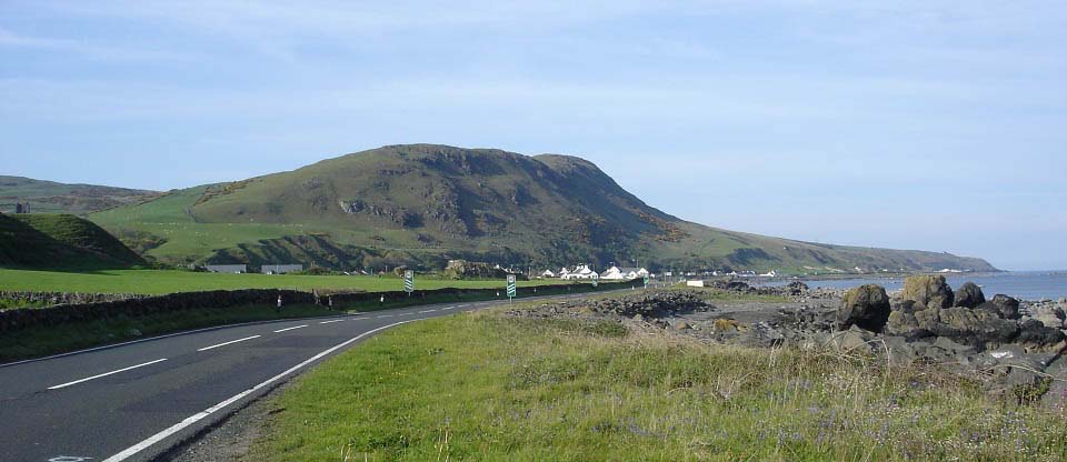
Lendalfoot Hill or real name Balsalloch
Hill, is right next to the sea at the small
holiday village of Lendalfoot, 6 miles
south of Girvan, 27 miles south of Ayr.
This is an impressive hill when driving
down the A77 road as it rises steeply above
the road and village. The hill looks more
than 614 feet, probably because it is right
next to the sea with no adjoining
hills.
Road
Map
|
|
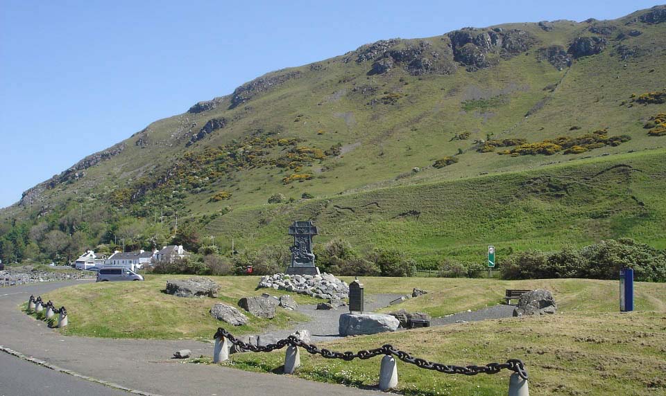
On the south side of Lendalfoot is the
Varyag Memorial for the Russian Cruiser
that sunk just off the coast here in the
early 1900s. This is a popular rest area
with a large car park.
I asked a local resident about any
official routes up the hill. I was informed
there was a path from the row of houses at
the north side of the hill, but that was a
bit overgrown. The locals say they hope to
be clearing the path soon.
|
|
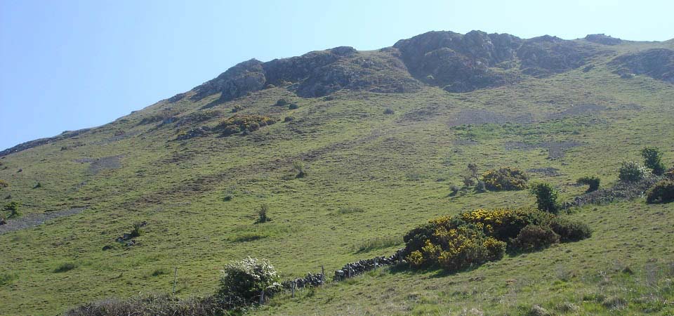
I decided to cross the road at the
memorial and climb straight up the highest
and one of the steepest parts, as seen
below, then go back down the less steep
north side by the official way up and
down.
There was an electric sheep fence
alongside the road that I had to hop over,
not sure if it was connected up or not,
glad to say I did not find out. Been a long
time since I was zapped by an electric
sheep fence.
|
|
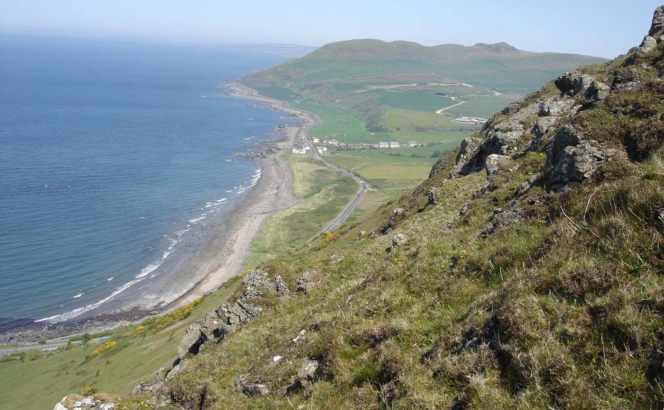
Below is a view looking north from close
to the top. Not many hills in Scotland give
a view like this one, especially after only
about 30 minutes hiking. Was quite steep up
here in places, had to dig the toes and
hiking poles into the hillside now and
again to avoid slipping.
Large
Image
|
|
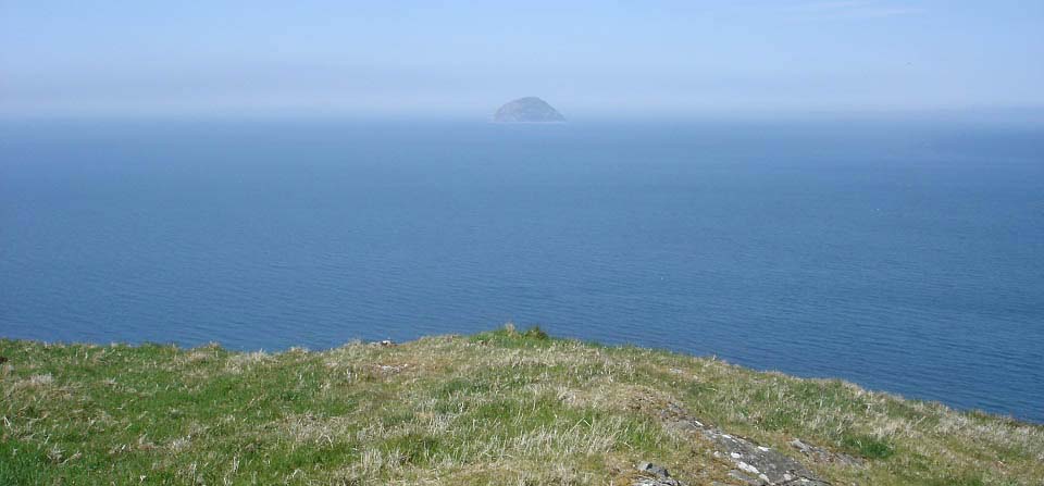
Below is a view west towards Ailsa Craig
from the top.
|
|
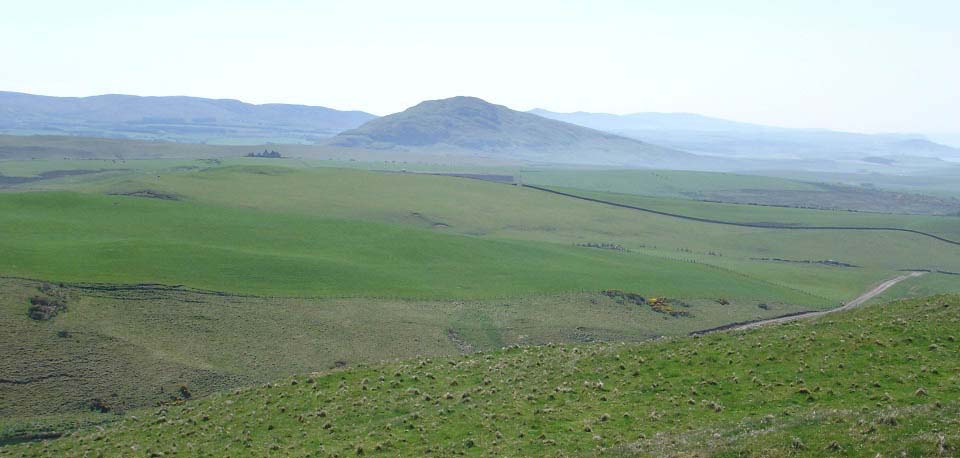
Below is a view south towards the 870
feet Knockdolian
Hill. This is another good lone
standing hill for a hike in the area.
|
|
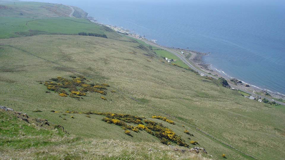
Below is a view south to Bennane Shore holiday
park. Just beyond the park, where the
road rises over Bennane Head, is a car park
sitting above Sawney Bean
the cannibals cave. This is a couple of
hundred feet hike down to the cave, worth
doing if you are here.
|
|
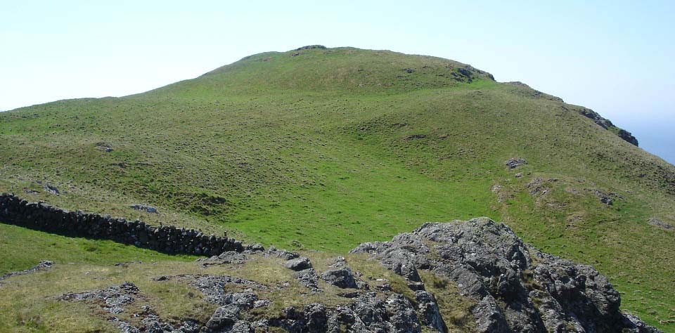
The north side of Lendalfoot hill is
about 100 feet lower than the south side.
The stone dyke here also had an electric
fence along it. I managed to cross this one
as well without finding if it was connected
up.
|
|
The views from the lower north end of
the west side are amazing with a few 500
feet drops almost straight down into the
back gardens of the houses below. There are
a number of testing steep routes along the
west side making this a hill that could be
fun on a few visits.
Large
Image
|
|
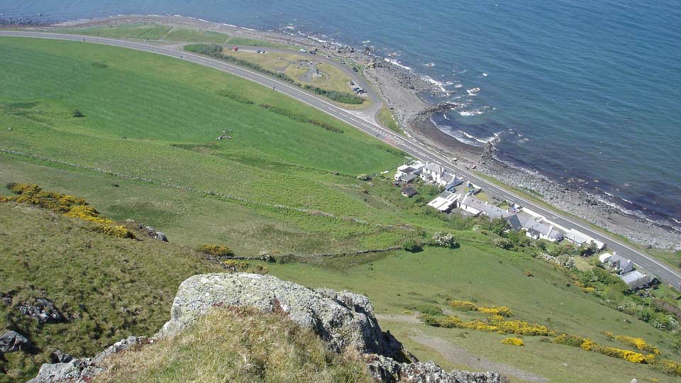
Below is the north side official way up
and down with Carleton Castle next to a
farm. This is a steady hike up this route.
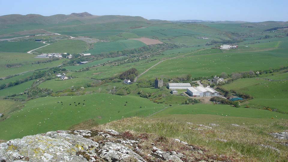
The Hills in the distance are the Girvan Hills that run from
1 mile north of Lendalfoot to Girvan 5
miles north. The highest hill is the 974
feet Grey Hill with the route ending at the
703 feet Byne Hill overlooking Girvan.
|
|
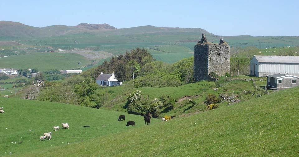
Below is Carleton Castle from where the
north side route turns round towards the
houses at Lendalfoot.
|
|
Below is the north side path up or down.
Locals say they hope to clear the path
soon.
|
|
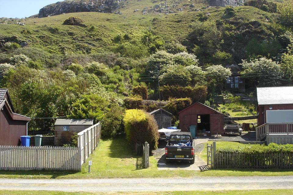
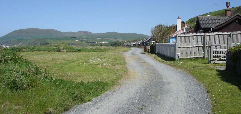
Below is a view of Carleton Crescent
where the Lendalfoot Hill route starts on
the right in this image.
|
|
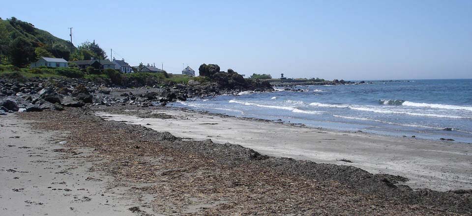
The image below is the beach walk back
to the Varyag Memorial.
|
|
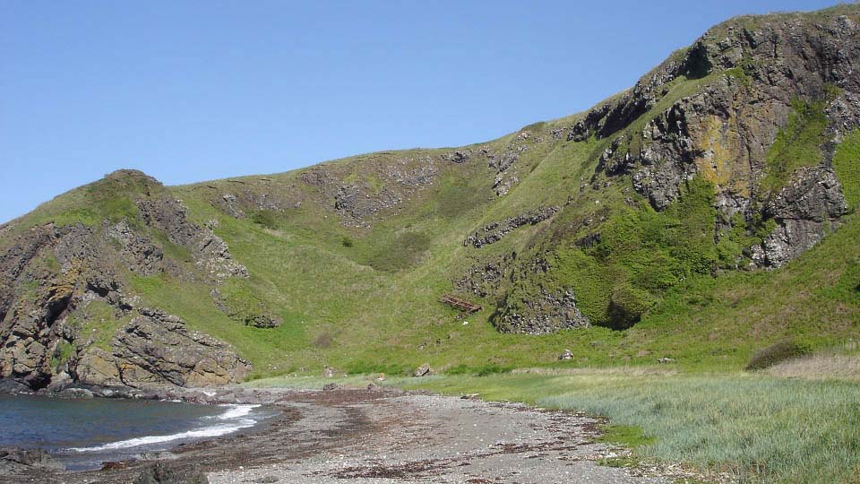
Below is a view of Sawney Bean's Cave 1 mile south
of Lendalfoot. I had to visit the cave when
in the area. The car park is above the high
point top right in this image. The main
route up or down is from the north side of
the car park that winds its way down past
the old trailer as in the image below. The
route up or down from the south side of the
car park is a bit steeper.
|
|
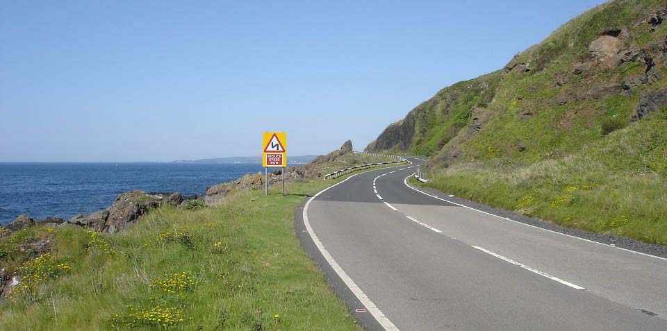
Heading home north through Kennedy's
Pass, 5 miles south of Girvan.
|
|
This was a cracking, testing hike with
amazing views after such a short time
hiking. The Varyag Memorial and beach are
also peaceful places to spend an hour or
two when the weather is good.
|
|
|