|
Where: North end of the Rhinns of Kells,
from Carsphairn, Dumfries &
Galloway
When: October 4th 2012
Who: I Parker
Why: Good weather so a day out
Weather: Sunny spells
Distance: About 9 miles, 7 hours
The car park for this hike is next to a
cottage about 23 miles southeast of Ayr
next to the A713, about half of a mile west
of Carsphairn.
The range here is known as the Corserine
range or Rhinns of Kells, containing from
the north, the 1,732ft Black Craig, 2,043ft
Coran of Portmark, 2,011ft Bow, 2,162ft
Cairnsgarroch, 2,280ft Meaul, 2,648ft
Carlin's Cairn, 2,671ft Corserine, 2,034ft
Meikle Craigtarson, 2,349ft Millfire,
2,421ft Milldown, and 2,457ft Meikle
Millyea.
This photo tour covers the north end of
the range going round Cairnsgarroch, Meaul,
Bow, Coran of Portmark, Black Craig and
Knockower.
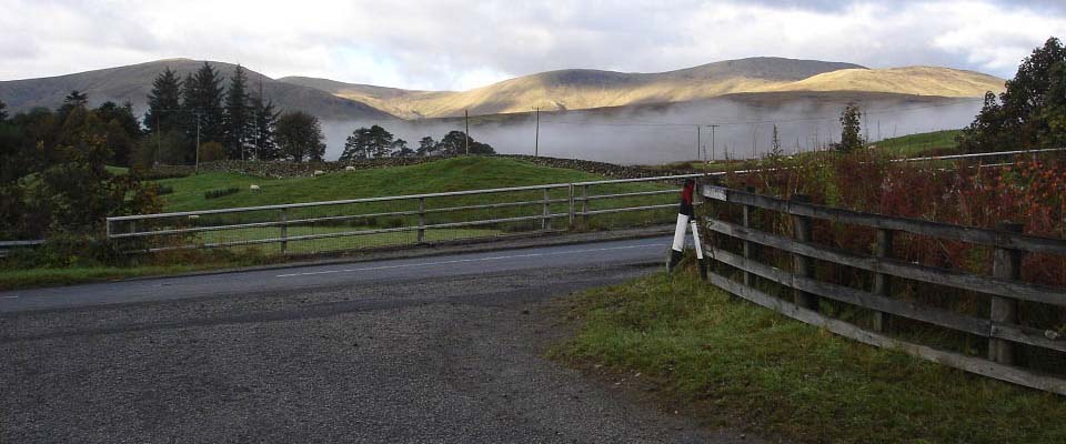
The image below is from the place to
park next to the A713 road, by the bridge
over the Water of Deugh. There is a cottage
here and a hill road leading up to
Cairnsmore of Carsphairn. There is room for
a few cars parked close to the fence. There
is also a car park across the road where
the farmer stores large hay bales. The
parking here can be popular at times with
hikers, fishermen, and people exploring the
legendary cave, old bridge, and The Green
Well of Scotland, a place in the river with
stories of giants and treasure?
The view below is from the park place
looking towards Cairnsgarroch on the left
and Knockower on the right. The stone dyke
across the road runs down the side of the
farm road to the hills. Road
Map
Large Hill
Route Map
|
|
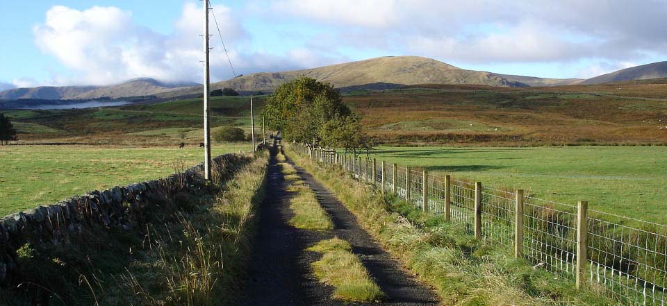
The image below is of the farm road
leading to the Old Led Mines. There is a
bridge about half of a mile down this road
with a sign stating it is 1 mile from there
to the Lead Mines. Garryhorn Farm is mid
way between the bridge and the mines.
|
|
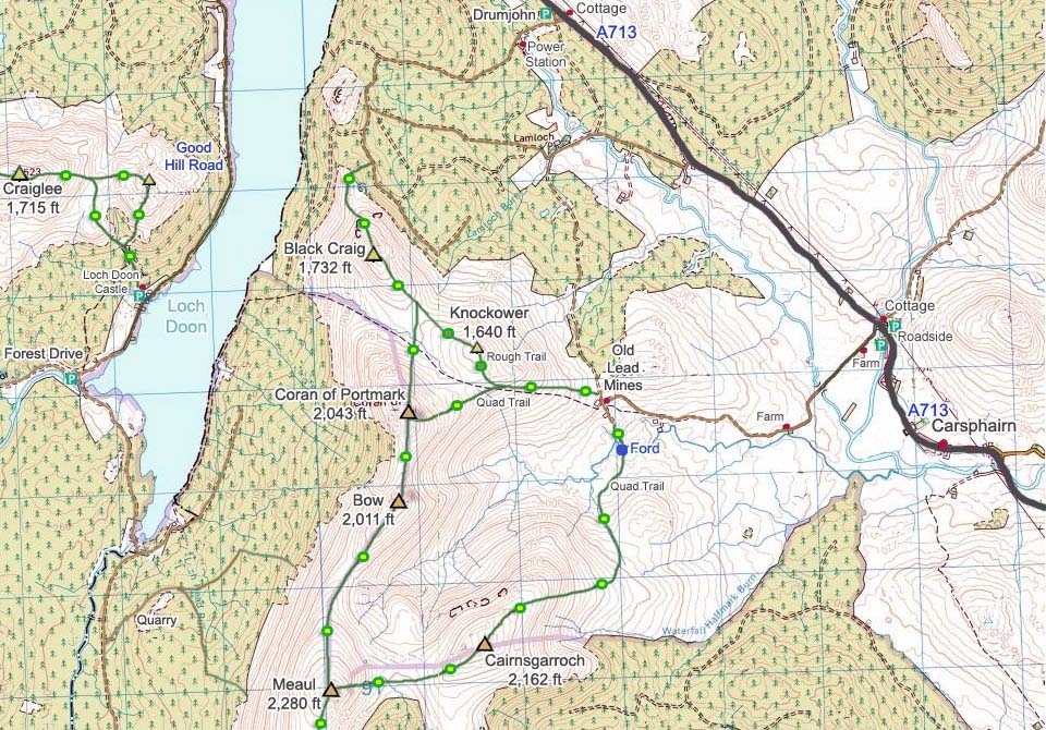
The image below is of a map showing this
road leading to the Lead Mines. The green
lines show the hiking routes from the
mines.
I decided to go over Cairnsgarroch first
as it was early in the morning with the sun
shinning right on its east side. I
calculated that by the time I got to Meaul,
the sun would be round more to the south
shinning along the route I would take north
across Bow and Coran of Portmark. I try to
figure out routes so I am not taking pics
into the sun.
|
|
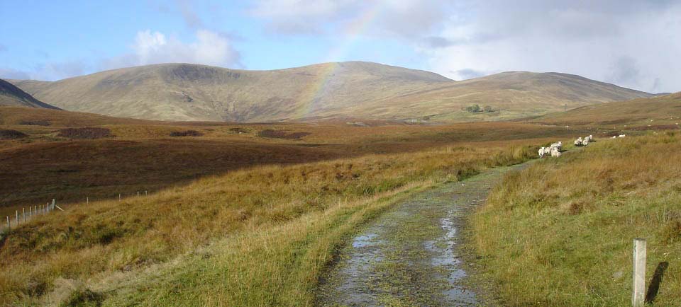
The image below is from just past the
farm looking towards the Old Woodhead Lead
Mines, with Bow and Coran of Portmark where
the rainbow is, and Knockower on the
right.
This is a working sheep farm. The farmer
has no problem with hikers as long as they
do not take dogs. The farmer also asks
hikers to try and avoid this route during
the lambing season, March and April. There
are other routes during those months.
All Routes
Map
|
|
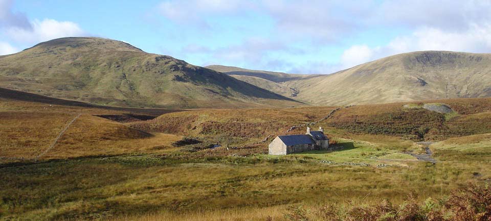
The first building at the mines is the
one seen below, the only building still
complete, although abandoned. Not sure if
this is a mine building that was named
Smelters Cottage, or a shepherds
building.
The lead mining started in 1839 and by
1851, there were about 50 houses with a
population of over 300. As well as houses,
a school and a library were built. The lead
mining stopped in 1873, leading to the
miners moving on.
The last residents left in 1954, there
are only ruins of the buildings left.
|
|
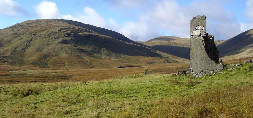
The view below is on the crossing to
Cairnsgarroch following a quad bike track.
The wall of the building here has four
windows, it may have been the school. If it
was the school, it had a fantastic
view.
Large
Image
|
|
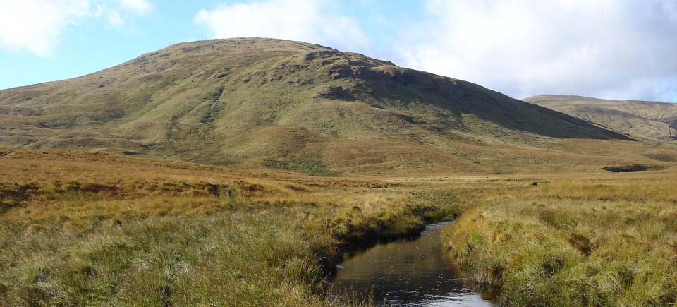
The image below is from just after
crossing the Garryhorn Burn, looking to the
east side of Cairnsgarroch.
There had been a lot of rain over the
week, so the burn was about 2 feet deep in
places. The quad bike tracks lead across
the burn at its shallowest point, a small
ford, about 7 feet wide, and 4 or 5 inches
deep in this wet spell. There were no
stepping stones anywhere so it was a matter
of walking across the water. Had yeti
gaiters on so was a good test for them, the
feet remained dry. Need to start carrying 2
heavy duty bin liners in the backpack to be
used as waterproof boot covers for crossing
shallow burns.
|
|
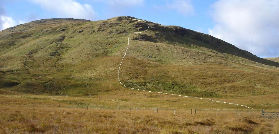
The view below shows the quad bike track
leading to a gate at the east side of
Cairnsgarroch. There is a quad bike track
that follows the fence left in this image
to another gate about 2 hundred yards
south. There is then a track across onto
the hill from there.
I decided to take the direct route up
the steepest part, to hopefully get some
good pics. From just past the gate to the
side of the hill had no track, so it was
through the dreaded thick stuff for about
150 yards.
|
|
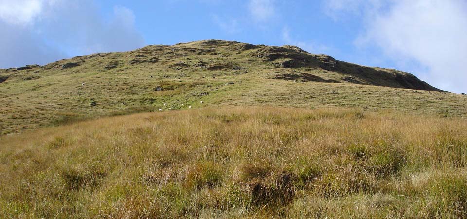
The image below is after clearing the
thick stuff and looking at the route up.
Think there may be a trail up over to the
left of here where the other gate leads to.
I decided to go straight up, the steepest
way possible to hike, normally the best way
to get good photos.
|
|
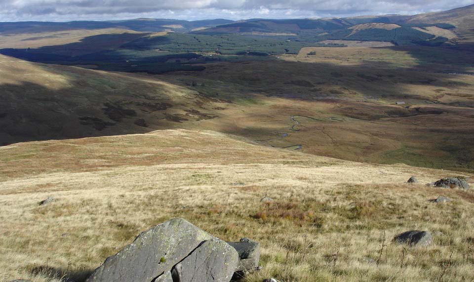
The image below is from close to the top
of the second ridge, looking down to the
top of the first ridge and the Old Lead
Mines. This hill is in three parts, the
first part up through the rocks, the second
part to here, and the third part still a
good hike to go from here.
|
|
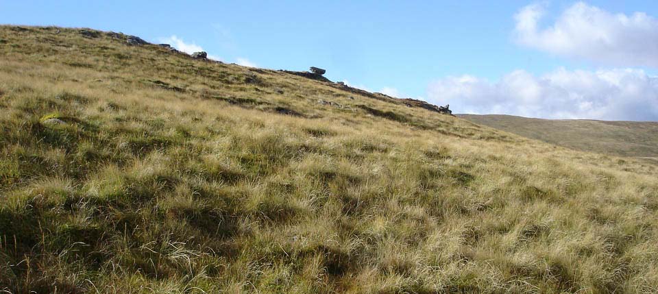
The image below is towards a large anvel
shaped rock at the top of the second ridge,
northeast side. I saw this rock from the
mines so had to make my way over for a
view.
|
|
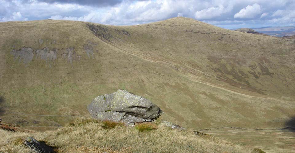
The image below is from the anvel rock
looking north to Bow and Coran of Portmark,
Black Craig can just be seen in the
distance.
I liked the look of this ridge leading
up onto Bow. Not sure if there are any
trails out to that ridge.
|
|
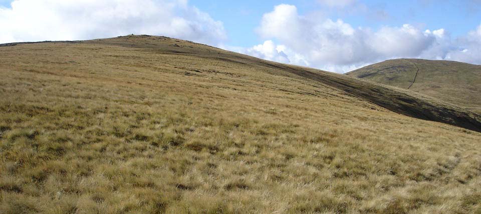
The image below is from the anvel rock
at the top of the second ridge, looking to
the first cairn on the summit. It was still
a fair hike from here to the top, and there
were no trails here. The cairn up there is
not the top, there is another cairn about
100 yards further on, next to a stone
dyke.
I decided to head over to the left here
to see if I could pick up a trail to the
top. There was a trail over to there so it
made the rest of the hike a lot easier. Not
sure if that trail came all the way up the
southeast side.
|
|
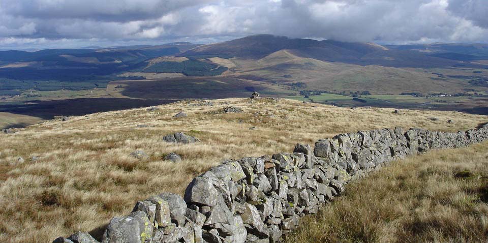
The image below is from the cairn on the
summit of Cairnsgarroch looking back
towards the other cairn on top of the east
side.
You can see the 2,614ft Cairnsmore of
Carsphairn in the clouds in the distance.
That is also a popular hike with a hill
road leading up to it from the same car
park.
From the start of the steep part of this
hill, it was about 1,300 feet of testing
hiking to the summit.
|
|
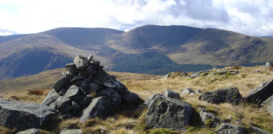
The view below is from Cairnsgarroch
cairn looking south to Carlin's Cairn and
Corserine. Those hills are normally hiked
from Forest Lodge or Loch Doon.
The whole range is a long hike in one
day, so most hikers try to do this north
section in one day, and the south section
another day.
|
|
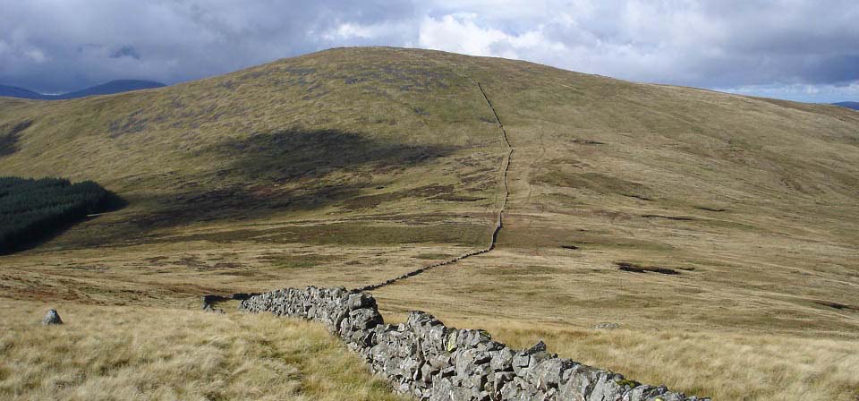
The image below is from the route from
Cairnsgarroch over to Meaul. It is about
460 feet from the lowest part here to the
top of Meaul. The Kings Well and Kings
Stone are on the right side of the trail up
Meaul.
|
|
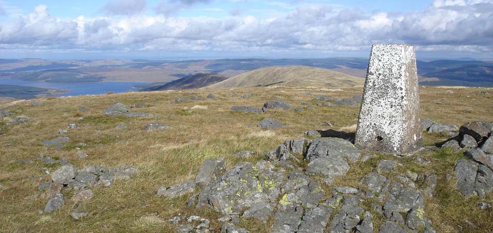
The image below is from Trig Point on
Meaul looking north to Bow, Coran of
Portmark and Loch Doon. This is the main
Rhinns of Kells ridge with 5 hills directly
south and these 3 directly north.
|
|
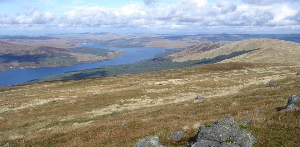
The view below is from Meaul northwest
side to Loch Doon. The views from here are
as good as they get in southwest Scotland,
East to the Cairnsmore of Casphiarn Range,
south to Corserine and Carlin's Cairn, west
to the rocky Mullwarchar Range, and the
Merrick Range behind the Mullwarchar
Range.
There is a quad bike track all along
this range. The farmers could be missing an
opportunity as many people would probably
pay a considerable fee to be taken along
here on quad bikes. Not everyone is fit
enough to hike up to here for the
incredible views.
|
|
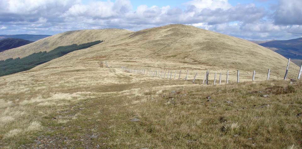
The view below is from Meaul north side
to Bow. It is about 460 feet down to the
low part here, picking your way round a
soggy patch half way down, about 50 yards
long. The steepest hiking is past from here
as it is only about 170 feet up to the top
of Bow, on a fairly long steady climb.
|
|
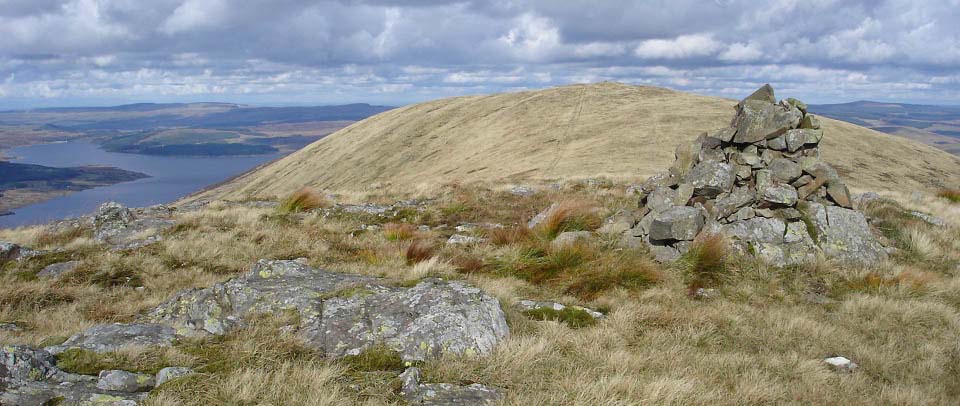
The image below is from the second cairn
on the north side of Bow, looking north to
Coran of Portmark. Again, there are great
views all around. It is a leisurely hike
along here so great for taking in the
views.
|
|
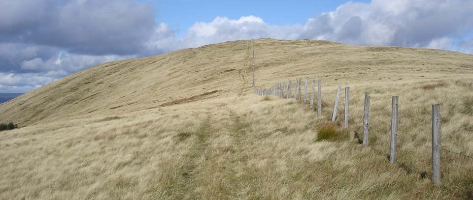
The view below is from the lowest part
of the hike across to Coran of Portmark. It
is only about 160 feet up to the top of
Coran of Partmark, spread over a fair
distance, so is an easy hike.
|
|
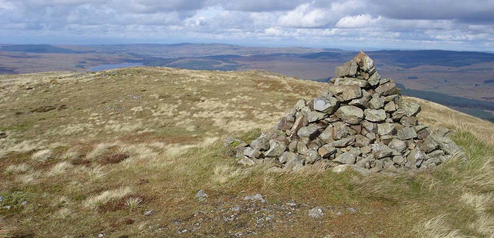
The image below is from the main cairn
on Coran of Portmark, looking north to Loch
Doon. To the right in this image, is the
route down the east side ridge to the Old
Lead Mines. This is a steady route down to
the bottom of the ridge, then you follow a
quad bike track through the moorland to the
Old Lead Mines. This is the easy way down,
probably making the hike about 5 to 6
hours.
Heading north here to Black Craig, adds
about two hours to the hike.
You get great views over Loch Doon from
this hill.
|
|
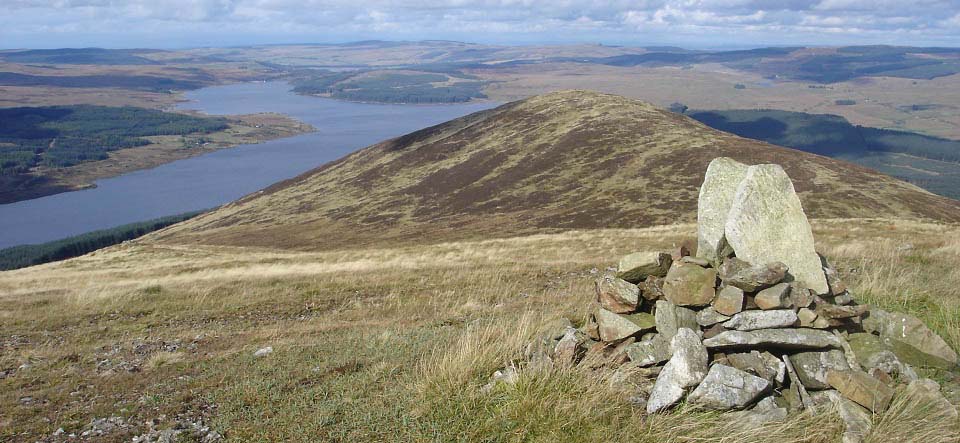
The view below is from the north cairn
on Coran of Portmark, looking towards Black
Craig hill and Loch Doon. There is a quad
bike track down to the left here, but that
leads to the southwest side of Black Craig
hill.
There are no trails up the southwest
side of Black Craig hill, only moorland and
deep heather. The main hiking trail follows
the fence down over to the right here, then
up the east side of Black Craig hill.
|
|
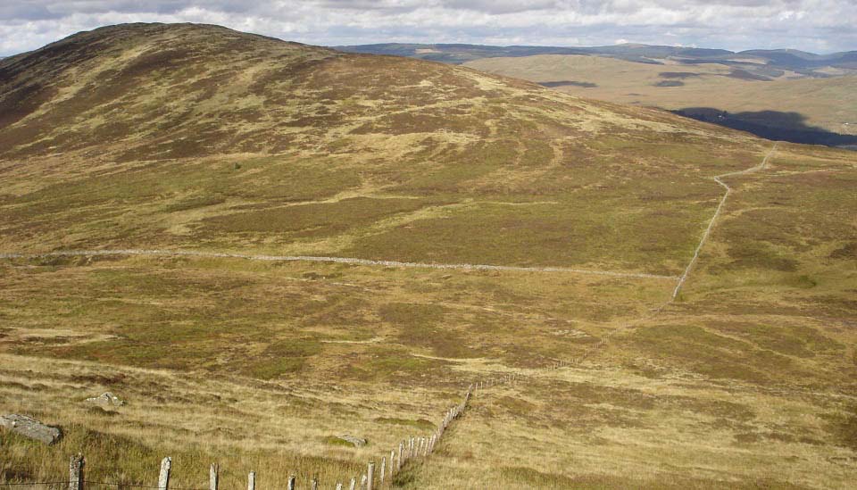
The view below from the steep north side
of Coran of Portmark, looking to the route
alongside the fence to the east side of
Black Craig hill. Its about 580 feet down
here, with the lowest part looking
boggy.
The narrow trail leads through the wet
patch in a way that is hard to beleive, a
lot easier and drier than it looks.
|
|
The image below is of the route up the
east side of Black Craig hill. It is about
255 feet to the top, following a narrow
path up this ridge, that makes the hiking
fairly easy.
|

|
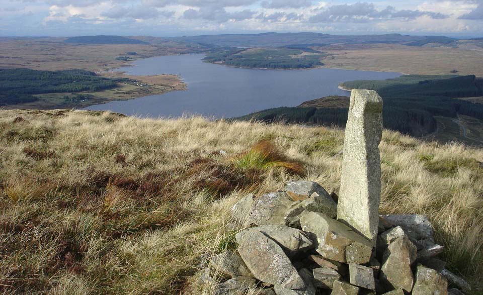
The image below is from the cairn on
Black Craig hill looking north over Loch
Doon. You can see the forest road down to
the right in this image. That road leads to
the A713 about 4 miles north of Casphairn,
at the entrance to the forest and a Hydro
Pumping Station, at an area named
Drumjohn.
There is a well worn path up the north
side from that forest road, so it must be a
popular route onto this hill. I would
imagine, that would be the fastest route
onto this range if you were planning to
hike the whole range in one day. It is
about 748 feet from the forest road up to
here.
|
|
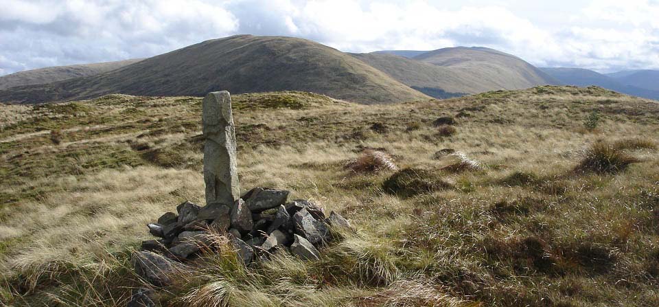
The view below is from Black Craig south
over the other 10 hills on the Rhinns of
Kells range. Nine hills here are in a line.
Cairnsgarroch leads off to the east at
Meaul, and Meikle Craigtarson leads off to
the west at Corserine. Getting dropped off
here, hiking straight down the middle, then
getting picked up at Forest Lodge, is said
to be a long testing day. Taking in the
other two hills off to the sides, would be
a really long day.
|
|
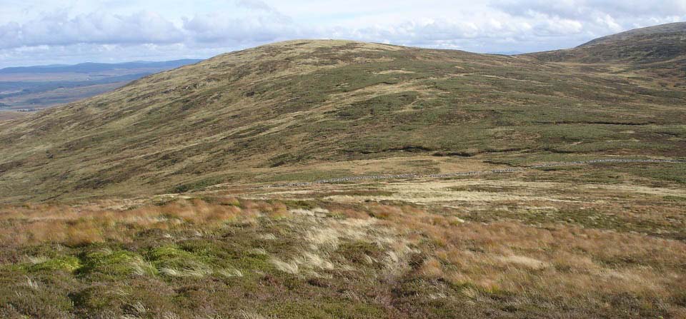
The view below is from Black Craig hill
heading over to Knockower hill. There is
not really a trail over Knockower, just
faint trails now and again where a few
hikers have left their mark. This is tough
going, was starting to wish I had taken the
route down off Coran of Portmark.
|
|
I made the top of Knockower hill after
what seemed like a long hike through the
deep stuff, occasionally picking up faint
trails that helped.
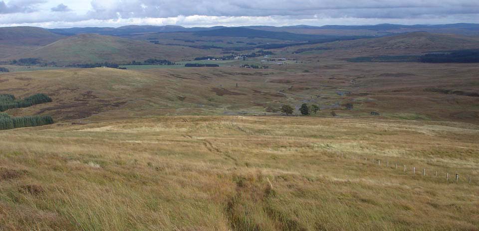
I then decided to head over to the south
side to pick up the trail down off Coran of
Portmark, as can be seen in the image
below.
This quad bike trail makes the descent
of this lower part a lot easier, as the
deep stuff is not the easiest hiking
without a trail like this. The image below
shows the Old Lead Mines where the quad
bike tracks end, and the village of
Casphairn in the distance.
|
|
This was an interesting hike with great
views in all directions. The hike over to
Black Craig made the hike a bit on the long
side for me, would have been better to have
come back down from Coran of Portmark, but
then I would have been wondering what Black
Craig was like. The hikes up from the Old
Lead Mines, and between the hills, added up
to about 2,500 feet.
Remember you have to cross the Garyhorn
Burn that could be up to 6 inches deep at
the crossing, so either take waterproof
boot covers, or be prepared to take the
boots off for a bit of paddling. Two heavy
bin liners do the trick and are easy to
keep in the back pack.
If you only have about 4 hours to spend
visiting the lead mines and one hill, this
route up to Coran of Portmark is probably
the best, with great views all around from
the top.
If you are thinking about doing the
whole range, see the Corserine to Meikle
Millyea Photo Tour of the south side or
this range.
Large Map of
the whole range
Photo Tour
Corserine to Meikle Millyea
|
|
|