Ness Glen Walk
|
 |
|
Loch Doon is 3 miles east of the town of
Dalmellington, 18 miles east of
Ayr.
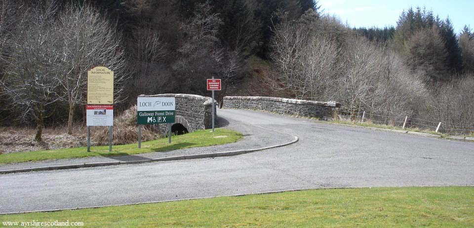
The car park, as seen below, is just
over 1 mile east of Dalmellington next to
the road signed A713 to Castle Douglas
& Dumfries. From here, it is about two
miles to Loch Doon Dam, where the Ness Glen
walk begins.
Loch Doon
Map
|
|
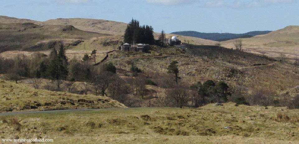
The road winds its way steadily uphill
for about 1 mile. Where it levels out, you
get a good view of the Wooden Fort in
Craigengillan Estate, on the right hand
side.
The estate offers Pony Trekking, River
Fishing, Mountain Biking, Canoeing on the
River Doon, and Holiday Cottages.
craigengillan.com . Map/KA6
7PZ
The Ness Glen trail leads from Loch Doon
Dam to down below the Fort. If you take the
high path back up Ness Glen, you can visit
the Fort.
|
|
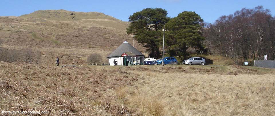
The image below is of the Roundhouse
Cafe at Loch Doon Dam. That is Glessel Hill
above the cafe, a popular hike here as
well.
The green sign on the right at the dam
is the start of the Ness Glen Walk.
|
|
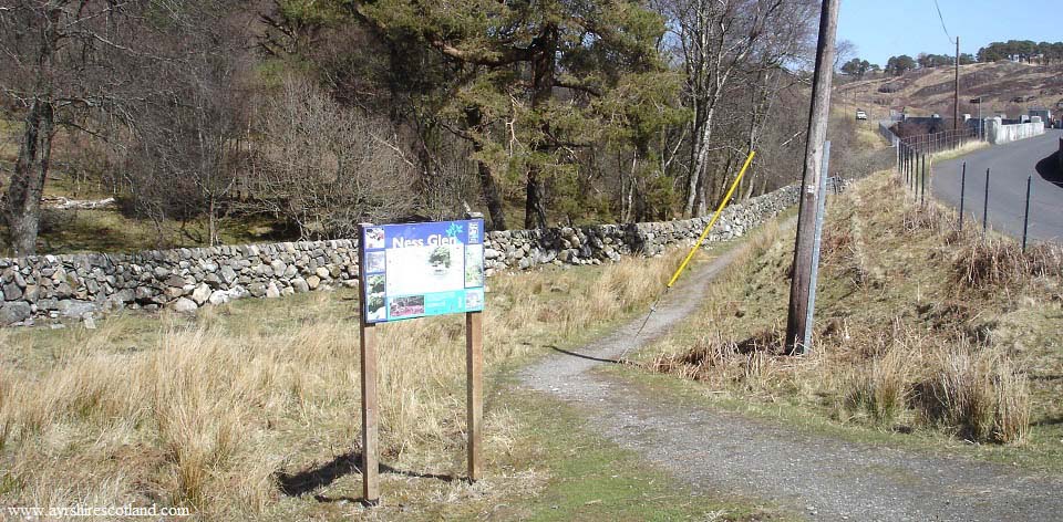
The image below is the start of the Ness
Glen Walk. It is a little over 100 yards
from here to the bottom of the dam.
|
|
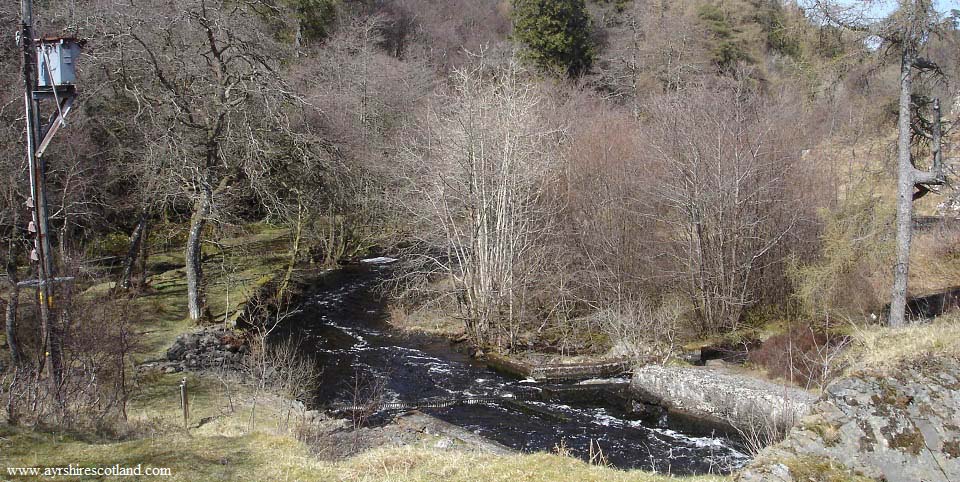
The image below is from the bottom of
the dam. There are two routes for the walk
from here. One route follows the River Doon
down to the bottom of the Glen. The other
route goes up over the top of the glen.
Both routes meet at the foot of the glen by
two bridges.
|
|
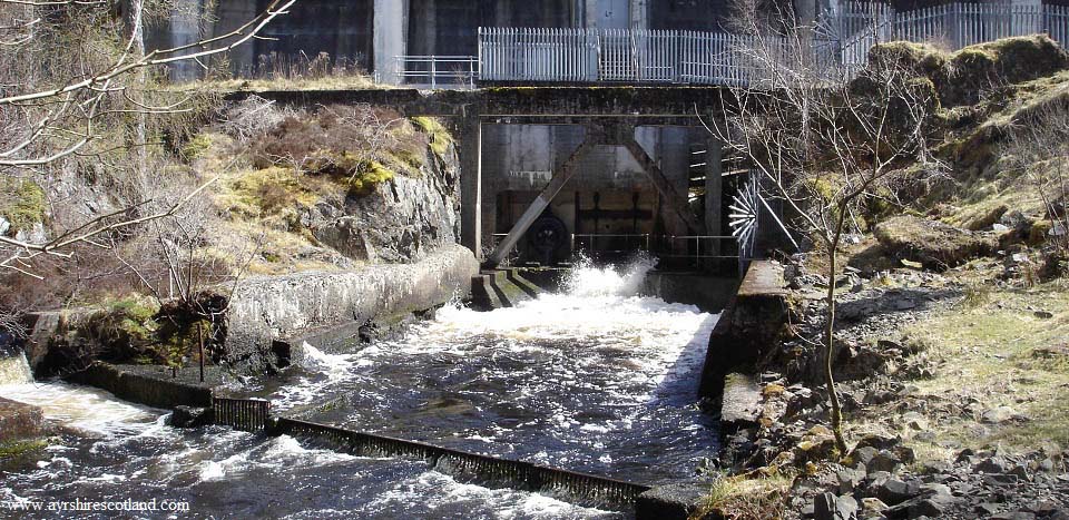
The image below is of the bottom of Loch
Doon Dam where the water is released for
the start of the River Doon.
|
|
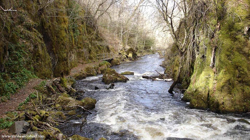
The image below is from walking down the
riverside path. This path is well
maintained by volunteers that have added
little bridges here and there, and seating
areas. The sides of this gorge in places
are a couple of hundred feet high. When you
look down from the high path, you cannot
believe there is a path down here.
Large Image
|
|
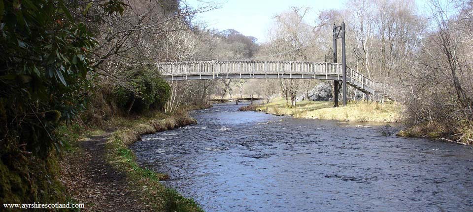
The image below is of the Ness Glen
footbridge and the lower Craigengillan road
bridge further on. The sign for the start
of the Ness Glen Walk from the lower end is
just beyond the footbridge.
|
|
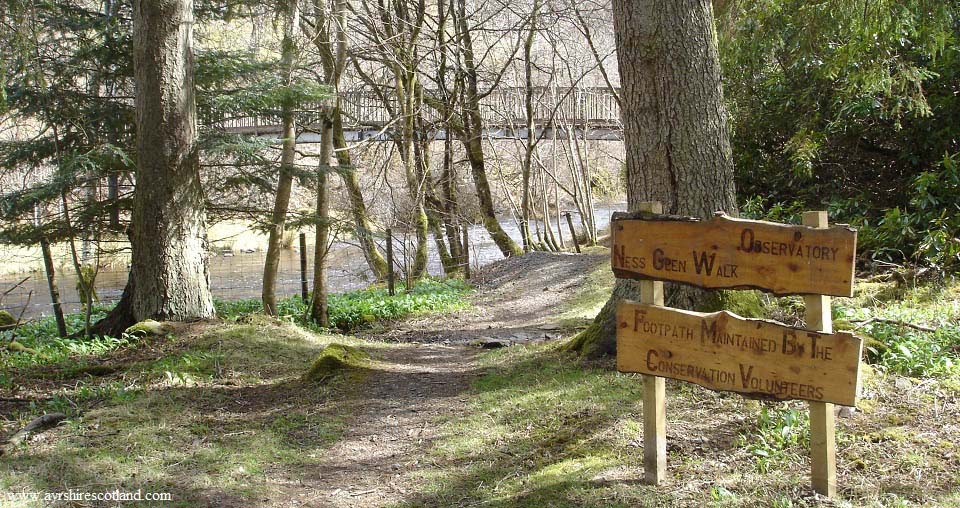
The image below is of the sign at the
lower side of the Ness Glen Walk. The path
back up over the top of the glen goes up to
the right at the footbridge.
At the top of the hill, you will see a
path lead off to the right. That path leads
past the Wooden Fort.
|
|
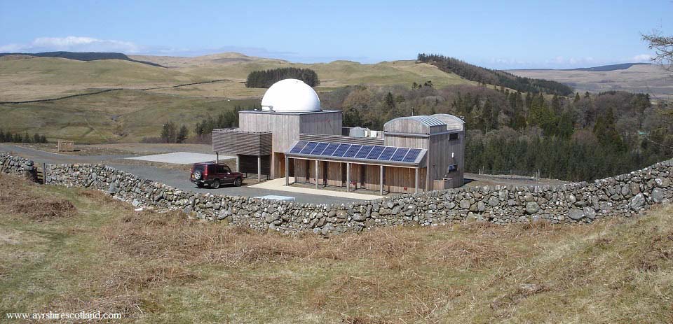
The image below is of the Scottish Dark
Sky Observatory. The Observatory was
dammaged by fire in 2021, is is not
expected to re-open.
|
|
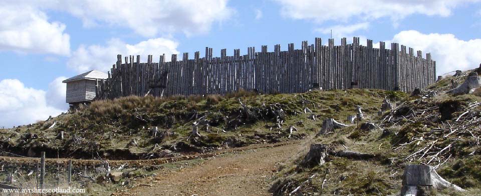
The image below is of Craigengillan
Fort. The route back round to Ness Glen is
to the left past the Fort.
|
|
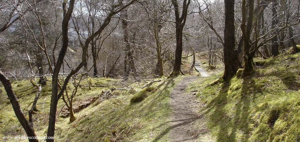
The image below is from the high path
back up Ness Glen. This high path is also
well maintained with walkways where there
are wet areas, and a number of seating
areas. This must be one of the best
maintained paths in Scotland, and one of
the most impressive.
You can just see Loch Doon and the dam
through the trees in this image.
|
|
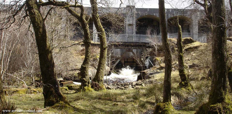
The image below is from passing Loch
Doon Dam on the road back to the cafe.
|
|
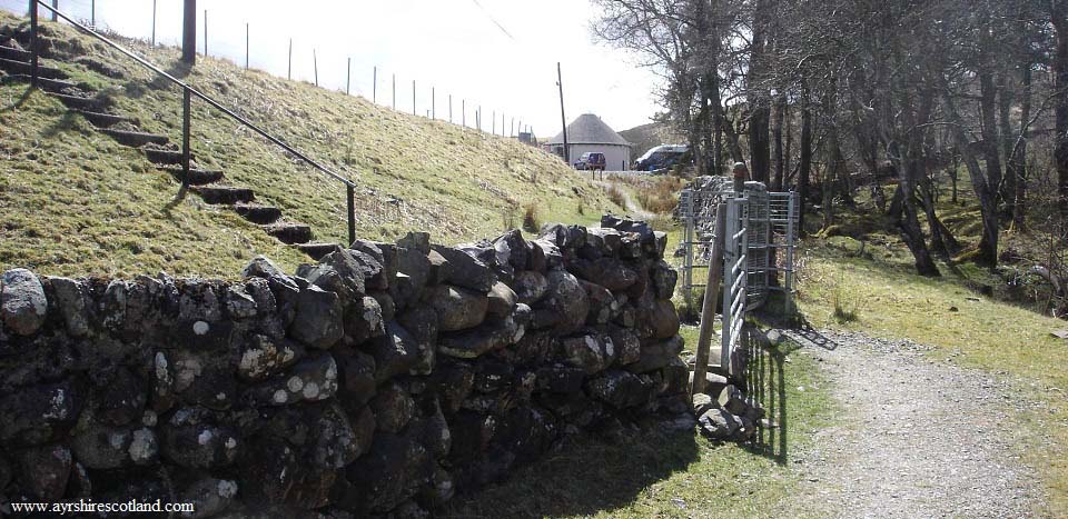
The image below is from the walk heading
back up to the Roundhouse Cafe. The walk
was about 1 mile down to the bottom of the
glen, so takes under an hour if you go
straight round without stopping.
|
|
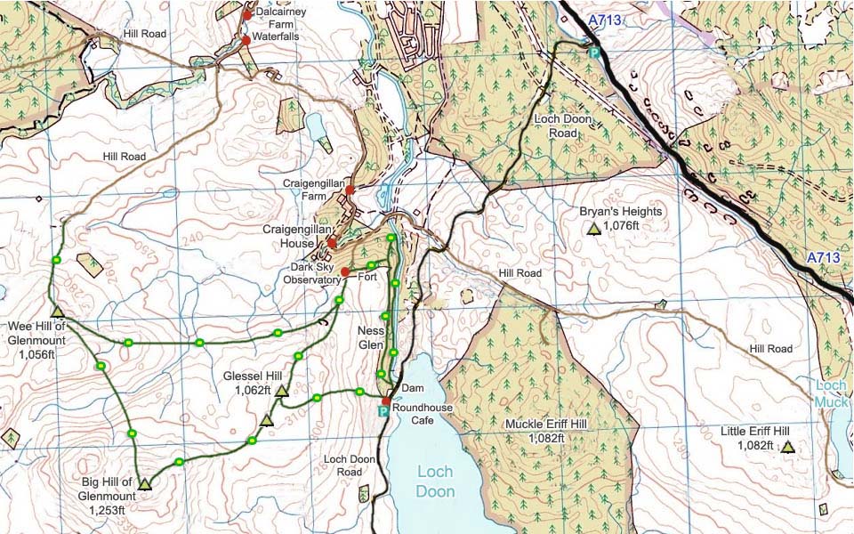
The map below shows the Ness Glen
walking route and the hiking route onto
Glessel Hill, and to the other hills.
The route to Glessel Hill, over to the
Fort, then back up Ness Glen is also
popular taking under 2 hours. The other
hills can extend the walk to about half a
day.
Glessel Hill Photo
Tour
For information on other hills/mountains
and attractions around Loch Doon, visit the
Loch Doon Page.
|
|
|

