|
Where: Lamachan Range, Glentrool in
Dumfries & Galloway by Ayrshire
When: 23rd October 2012
Who: I Parker
Why: good weather so a day out
Weather: Sunny Spells
Height: 2,352ft / 717m
Distance: ?
The Lamachan Range is by Glentrool
village, 34 miles southeast of Ayr via the
village of Straiton, 9 miles north of
Newton Stewart in the county of Dumfries
& Galloway. The village is about 50
houses with a popular small hotel for
drinks and meals. The hotel is situated
about 1 mile south of the village, named
the House o Hill. The Glentrool
Holiday Park for camping is close to
the village.
Glentrool Park is 1 mile east of
Glentrool village with a visitor centre,
tea room, a few car parks, and many
walk/cycle paths throughout.
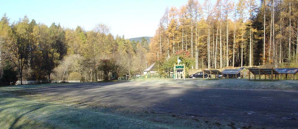
Below is a view of the Glentrool
Visitor Centre with parking for many
cars and signs giving information on the
walking and biking trails throughout the
park, and around Loch Trool. The signs also
give information on astrology as this area
is so remote, it is classed as a dark skies
area, one of the top areas in the UK for
viewing the stars.
The car parks for the Lamachan Range are
3 miles east of here via a good single
lane, tar road, with many passing places.
Road
Map
Large Walking
Routes Map
|
|
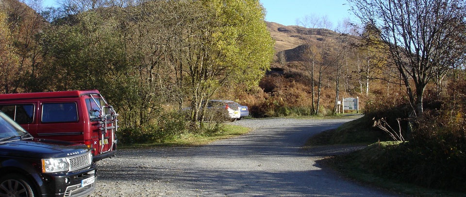
The image below shows the car park at
the Bruce's Stone monument. This is the
main car park for hiking the many trails
from here. The path leading off to the
right leads 30 yards to Bruce's Stone. The
notice board, as seen below, is at the
start of the Merrick Trail. The Merrick is
the highest mountain in southern Scotland
at 2,766 ft, also the most popular. At
weekends and holidays, this car park may be
full, so you may have to park at the larger
car park about 3 hundred yards back down
the road.
|
|
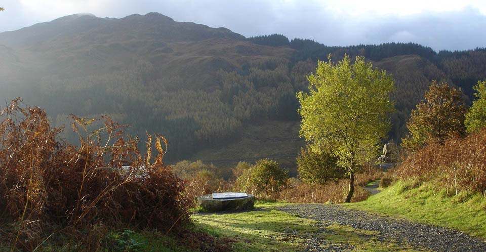
Below is a view of Bruce's Stone by Loch Trool
with Mulldonoch behind. This stone monument
is in honour of a battle in the Scottish
Wars of Independence, fought here in April
1307.
The hill/mountain across the loch is the
1,840 ft Mulldonoch with the 2,352 ft
Lamachan behind that. Mulldonoch is the
first peak to be hiked on this photo tour.
Getting to Mulldonoch entails a 2 mile walk
around Loch Trool via a forest
road.
|
|
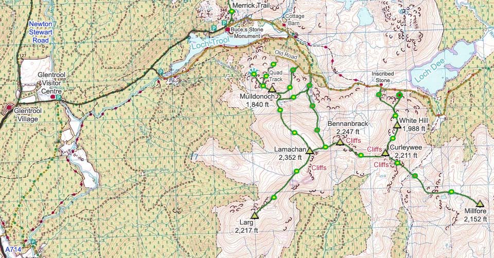
The map below shows the route round to
the Lamachan range. The green and yellow
dots show the fairly good trails, green and
red the steep routes, and green and brown
the rough routes. There are no trails on or
off these hills/mountains, so you have to
be prepared to go through the rough stuff
at the start and end of the hike. There is
a quad bike track onto the northwest ridge
of Mulldonoch.
This route also consists of a few steep
sections up through rock and heather. I
always use hiking poles for routes like
this as they are not the best places to be
putting your hands down, as rock and
heather is where you might find an odd
snake/adder. I also wear gaiters for these
rough hikes incase I tread on an
adder.
|
|
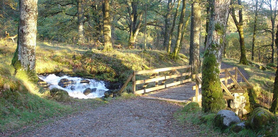
The road round to the Lamachan range
goes east from the car park, past the
Merrick Trail, then down past the stone
Buchan Bridge and Buchan Waterfalls. The
image below is of the second bridge on the
trail crossing the Gairland Burn.
You continue along this road past an old
house and barn. There is a short burn-side
walk that leads off to the right mid way
between here and the barn. That burn-side
walk leads back to this road just past the
barn so does not save any time, but is more
scenic with a couple of hikers bridges to
cross.
|
|
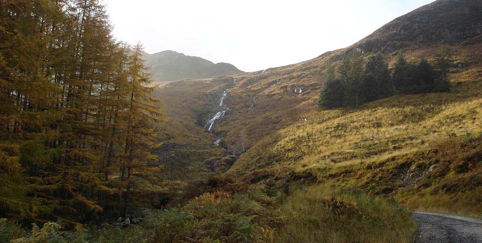
About 2 miles out from the car park, you
reach a couple of bends on the road and the
Sheil Burn with waterfalls.
There are a few routes onto the range
from here, one is follow the Sheil Burn up
to between Bennanbrack and Lamachan.
Another is follow the Sheil Burn up so far,
then follow a fence to the right up between
Mulldonoch and Lamachan, there is a quad
bike track alongside the fence.
The main routes are to follow the old
forest road that leads off to the right
here at the bend.
|
|
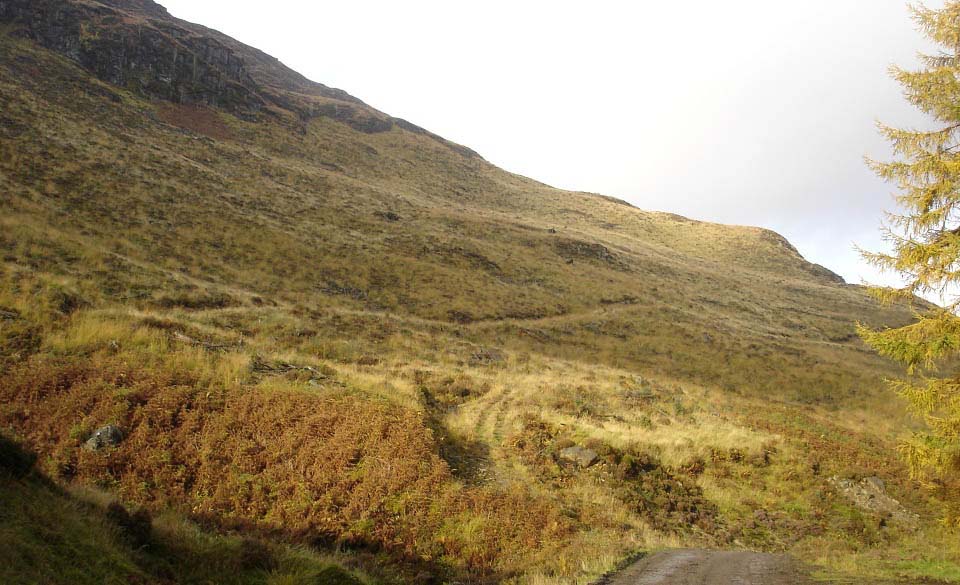
The view below shows the old forest road
running along the north side of Mulldonoch.
The little hillock just above the old road
is the start of the northeast ridge, a
testing route.
The old forest road also leads past the
northeast ridge and onto the northwest
ridge, a similar route up, but with better
views over Loch Trool.
|
|
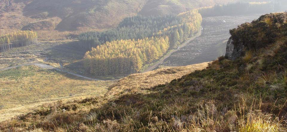
The view below is from the top of the
first section of the Mulldonoch northeast
ridge, looking down to the bend in the road
where the old forest roads leads off.
|
|
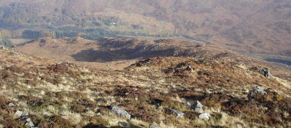
The view below is from close to the top
of Mulldonoch looking back down the
northeast ridge. This was a good ridge to
hike with a few steep sections up through
rock and heather. You can see the forest
road down there, and the old house and
barn.
|
|
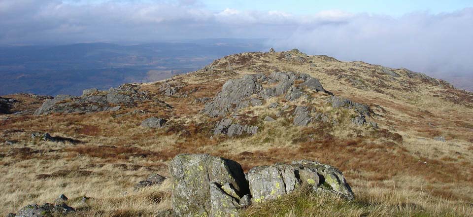
The image below is of Mulldonoch summit
when approaching from the northeast ridge.
The last section from the northeast ridge
up to here was tough going.
|
|
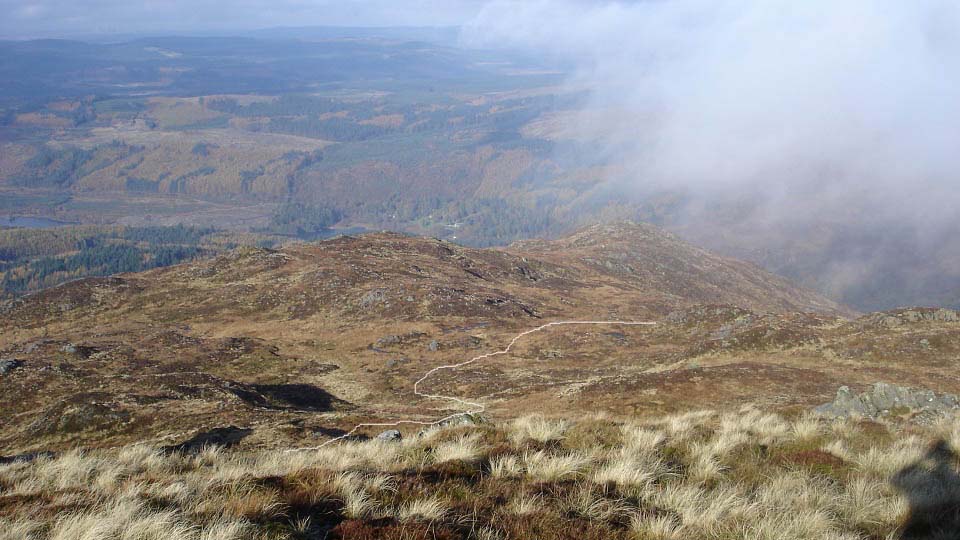
The image below is from Mulldonoch
summit looking down the northwest ridge
towards Loch Trool. It was now I realized
the northwest ridge has the best views over
Loch Trool. Both ridges are similar, just a
fair bit further to walk along the old
forest road to get to the northwest
ridge.
There is a quad bike track that leads up
the northwest ridge to here from the old
forest road. On another hike, I followed
that track up, then cut across to the
lowest peak down there for the views over
Loch Trool to Bruce's Stone.
Large Image
from the peak down there.
|
|
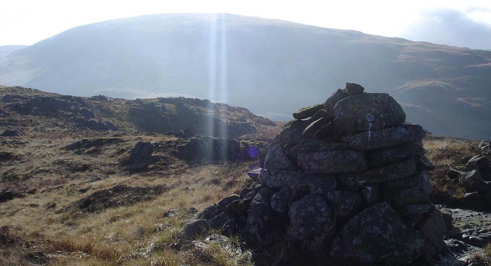
The image below is from the cairn on
Mulldonoch south towards Lamachan. You can
just see the north side cairn on Lamachan
where the sun rays are. There are quad bike
tracks across from here to Lamachan via a
gate, a bit soggy in places.
|
|
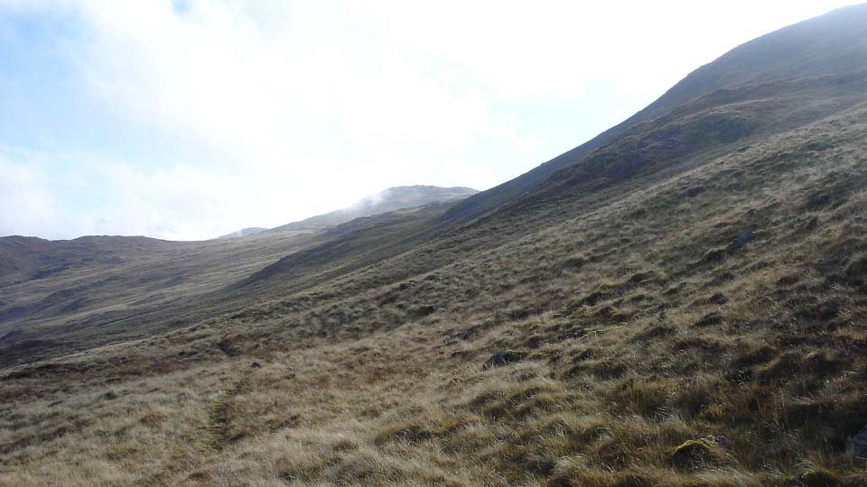
The image below is of the north side of
Lamachan looking east to Bennanbrack. There
is a trail heading up that way that is less
steep, leading round and up to the main
south cairn on Lamachan.
The main route up Lamachan is this steep
north side to the north cairn, about 350 ft
of tough hiking.
|
|
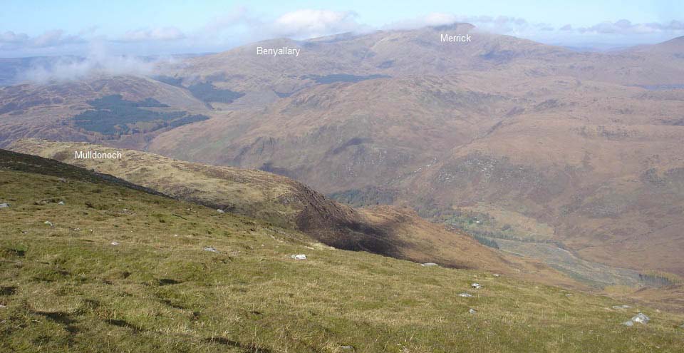
The image below is from just before the
north cairn on Lamachan looking back down
on Mulldonoch. This view also shows
Benyallary and the Merrick across the
valley.
|
|
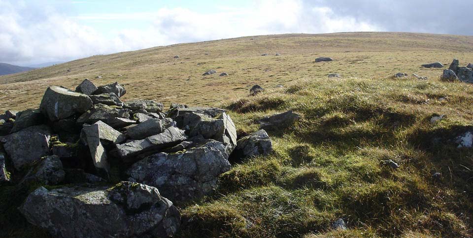
The image below is from the north cairn
on Lamachan looking up to the main south
cairn. This is the only grass top on this
route.
|
|
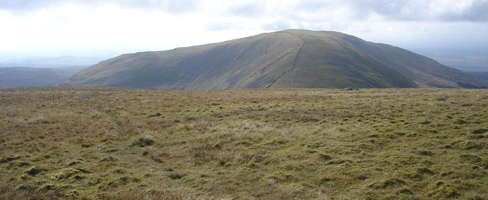
The view below is from the top of
Lamachan looking southwest to Larg Hill.
This looks a straight forward hike across
and back, probably add about an hour and a
half to the hike. There is a good looking
ridge leading down off the southeast side
of Lamachan, with high drops on one
side.
|
|
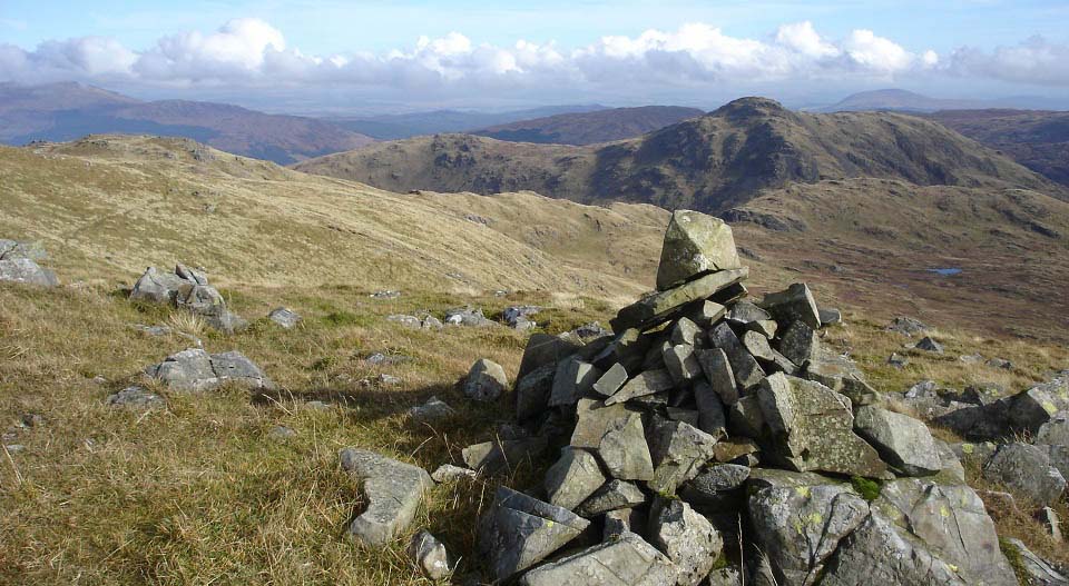
The image below is from the main cairn
on the south side of Lamachan looking east
to Bennanbrack and Curleywee. The hike from
here to Bennanbrack is straight forward
following a trail.
|
|
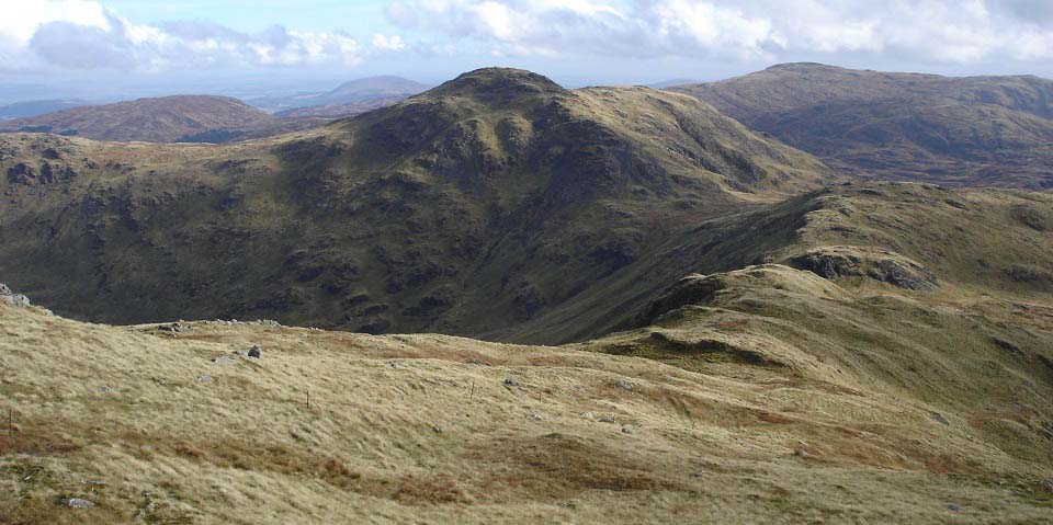
The image below is from Bennanbrack
looking east along the rocky ridge to
Curleywee. To the left of Curleywee is
White Hill leading to the road back to the
car park.
The hike across the rocky ridge here has
some steep up and downs with some cliffs to
watch out for, as they are hidden from this
side.
|
|
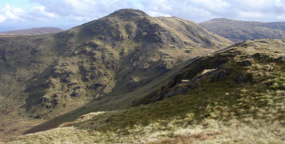
The image below is from the crossing to
Curleywee. There is a stone dyke that leads
out from the the forest road to the valley
down there. The northwest side of Curleywee
from down there is about 900ft of a really
steep hike.
I would imaging the route along the
stone dyke will be a bit rough, will try it
one day.
Large
Image
|
|
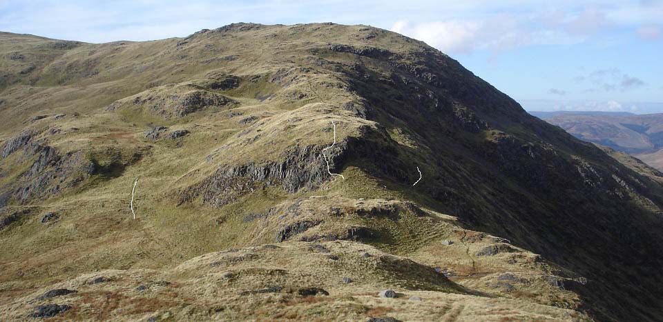
The image below is from the last peak on
the rocky ridge looking back at
Bennanbrack. You can see the cliffs in this
image that you will encounter if you hike
straight over the ridge at that point, as I
did. There is a track down on the south
side that is the safest route. The narrow
trail round the north side has about a
300ft drop below it, so is avoided by some
hikers.
Large
Image
|
|
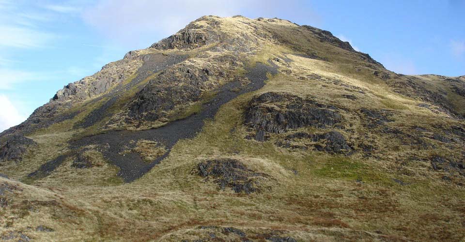
The image below is of the west side of
Curleywee from the ridge. It is about 600ft
to the summit from here with a few enticing
routes. You can hike up the grass, scramble
up the scree, or try a bit of rock
climbing.
This is why I hiked the route
anti-clockwise, much rather hike up the
best section than hike down it.
|
|
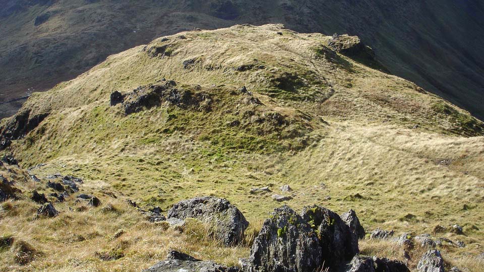
The image below is from the second ridge
on Curleywee looking back down. Met another
hiker here going the other way, so had a
chat and rest for a bit.
|
|
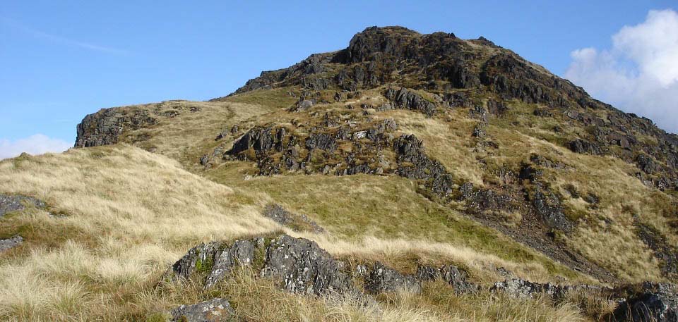
The image below is from the second ridge
looking towards Curleywee summit. Again,
there is the option to follow the trail or
do a bit of rock climbing.
|
|
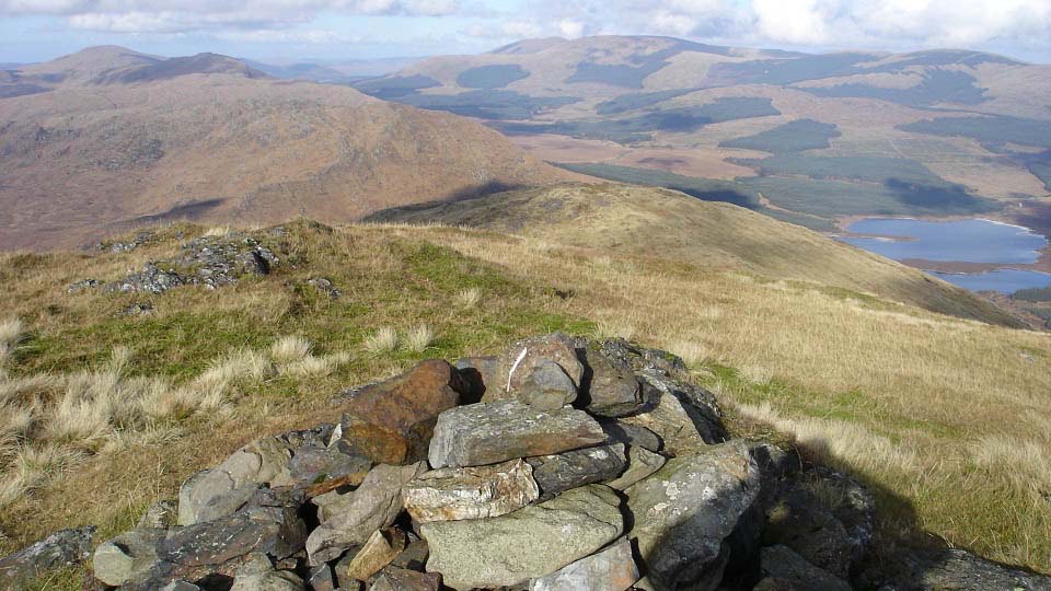
The image below is from Curleywee
looking northeast to White Hill, the route
back to the forest road.
The range to the right, in the distance,
is the 2,671ft Rhinns of Kells, and the
range straight ahead is the rocky Dungeon
Range.
|
|
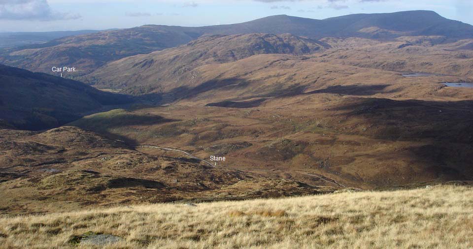
The image below is from the northwest
side of White Hill looking down to the
forest road leading back to the car park.
The least steep way up or down, is head to
or from the large inscribed stane (stone).
There are no trails on or off this hill, so
it will be rough going whatever route you
choose.
Note the stone dyke just to the left of
the stone, that leads to the steep
northwest side of Curleywee.
|
|
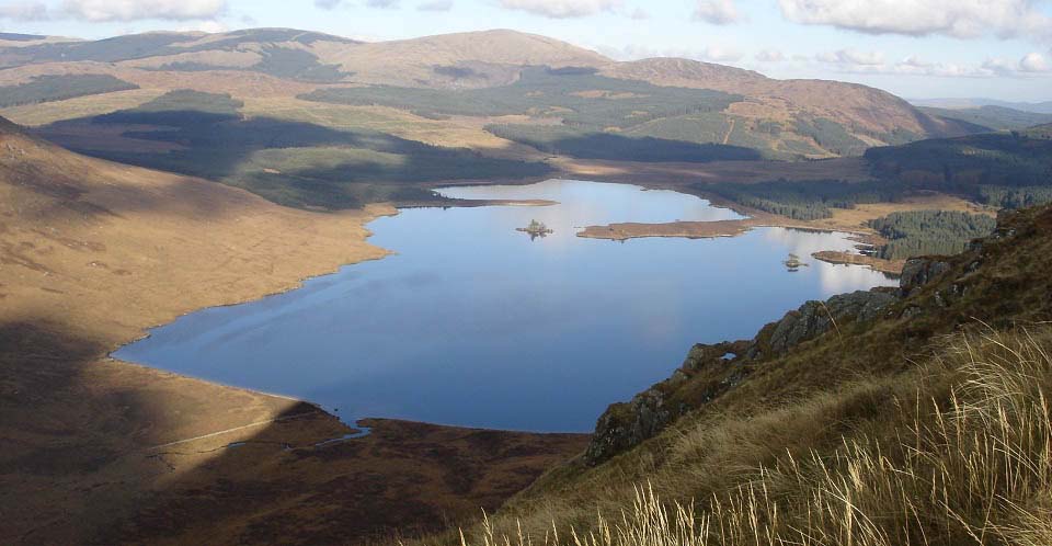
The image below is from the steep north
side of White Hill looking east over Loch
Dee. The hiker I met on Curleywee advised I
miss this route down, but I was here to get
photos, so it had to be the steep route.
Was sweating bullets going down here, never
sweated going down hill before.
I saw an image of hikers going up this
route when researching this range on the
Internet.
Large
Image
|
|
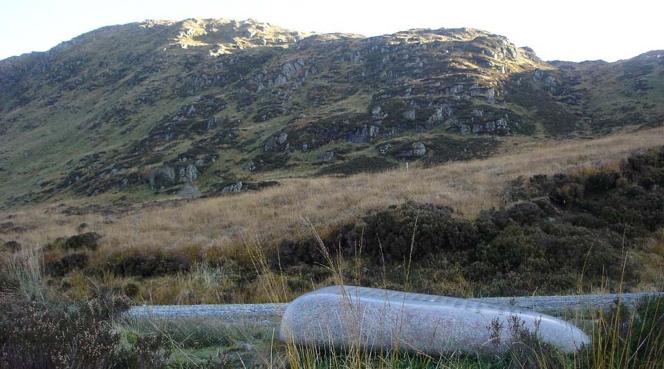
The image below is from the inscribed
stone next to the forest road back to the
car park. This is one of seven stones.
There is a large stone on seven of the top
mountain bike routes in Southern Scotland,
known as the Seven Stanes
Mountain Bike Trails.
This image shows the less steep route on
or off White Hill, just about 100 yards of
the deep stuff to get through first. To the
left in the image below, heading east of
the stone, are a number of steep routes up
between the rocks onto White Hill, one of
which I somehow manged to get down.
From the stone, it is about 3 miles west
along this forest road back to the car park
at Bruce's Stone.
|
|
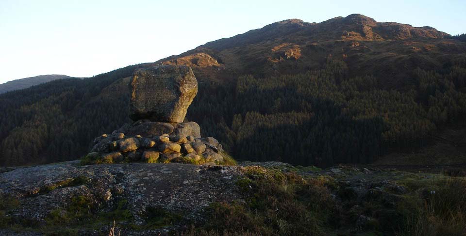
The image below is from Bruce's Stone at
the car park in a glorious October
afternoon, looking back at the rocky
Mulldonach.
|
|
This was a tough hike with some steep
parts here and there. First saw this range
when hiking the Merrick from the same car
park a few months earlier. The Lamachan
range looked tough from the Merrick, and
felt tough going over it.
I should point out I am a novice hiker,
just out to get photos for the website.
Some of the terms I use may not be the
correct hiking language, and when I say
tough and steep, some hikers may think a
walk in the park and a bit of an
incline.
Large Route
Map of all the ranges in this area.
|
|
|
