|
Where: Glenashdale Falls and Giants
Grave at Whiting Bay on the Isle of
Arran
When: July 2013
Who: Mark, Louise, Lee and Millie the
dog
Why: Visiting Ayrshire so a day out to
Arran
Weather: Sunny
Distance: about 3 miles round trip
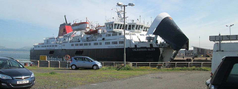
The image below is of the Arran ferry
Caledonian Isles arriving at
Ardrossan. It costs about £9 per
person for a day return on the ferry, and
about £37 per return for a car, so
many people park in the large car park next
to the pier for a few pounds per day,
rather than take the car. If you are taking
a car at weekends or in the school holiday
season, it is best to pre-book, as the
ferry can be fully booked then.
We were being given a tour round the
south side of the Island by relations, to
the Glenashdale Falls at Whiting Bay, the
Torrylin Cairn at Kilmory on the southwest
side of the Island, and to Blackwaterfoot
for the beach, so took the car.
The image below is from the ferry car
park right next to the pier, it only costs
between 2 and 3 pounds per day to park
here.
Ardrossan Train Station is less than
half of a mile south of the ferry terminal.
You can normally buy train/ferry tickets
together with a discount. Train/Ferry
Map.
The first ferry normally departs
Ardrossan at 07.00 and the next at 09.45.
Afternoon ferries leaving Brodick are
normally 16.40 and 19.20. In summer, there
is also a smaller ferry that runs so there
will be more crossings available. Price
checks and timetables for the ferry can be
found at the ferry website:
calmac.co.uk
|
|
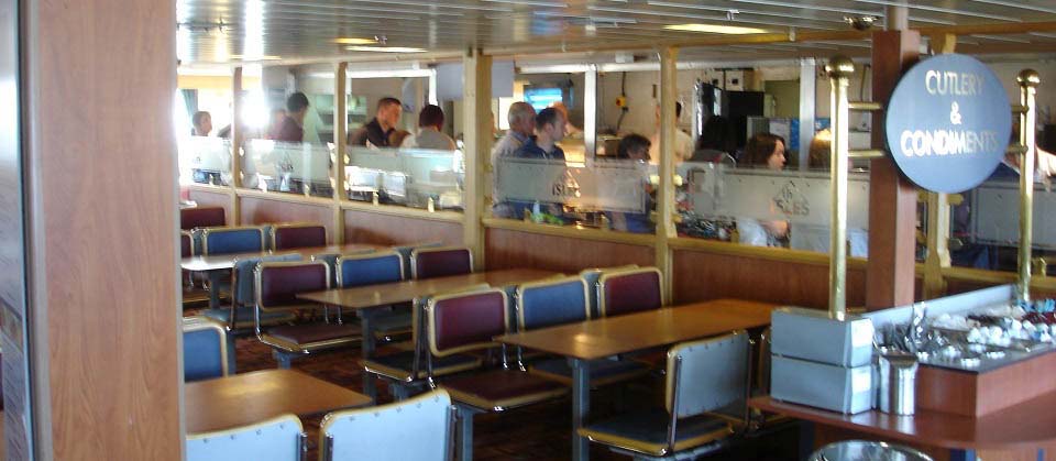
The image below is of one of the
restaurants on board the ferry. The
crossing takes about 1 hour to Brodick, so
we had plenty of time for breakfast.
|
|
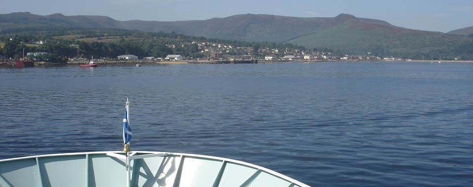
The image below is from the ferry when
approaching Brodick. There should be buses
waiting at the Brodick Ferry Terminal for
the all the larger ferry crossings if you
do not take the car. Note, there are no
buses that run to suit the first early
ferry though?
The bus stops are right next to the
ferry terminal and there should be three
buses sitting waiting. One goes north to
Cladach, Brodick Castle, Corrie, Sannox,
Lochranza and round to Blackwaterfoot.
Another goes straight over to
Blackwaterfoot via the mountain road, and
the other goes south to Lamlash, Whiting
Bay, Kildonan, Kilmory, Lagg and round to
Blackwaterfoot.
Arran Motor
Services at the terminal offers low
cost car hire. They also offer up to 8 seat
mini buses for Hiking Parties, Golf
Parties, or Island Tours. For more
information, call Mob: 07967 587 481.
A.R.C. Private
Hire are based in Brodick. Tel: 07776
082 752.
The large brown building across from the
terminal is the Douglas Hotel with
a nice beer garden, ideal when waiting on
the ferry back.
|
|
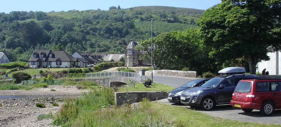
The image below is from the car park at
Ashdale Bridge on the south side of Whiting
Bay, about 8 miles south of Brodick. There
is a bus stop right next to the Ashdale
Bridge car park as seen below.
The start of the walk to the Glenashdale
Falls and Giants Grave starts just over the
bridge. There are walking signs pointing up
a narrow lane. The narrow lane is a few
hundred yards long and passes a few
cottages. You then reach the end of the
lane where a well marked woodland path
leads to the Glenashdale Falls.
Whiting Bay
Google Map
Arran Attractions Map
|
|
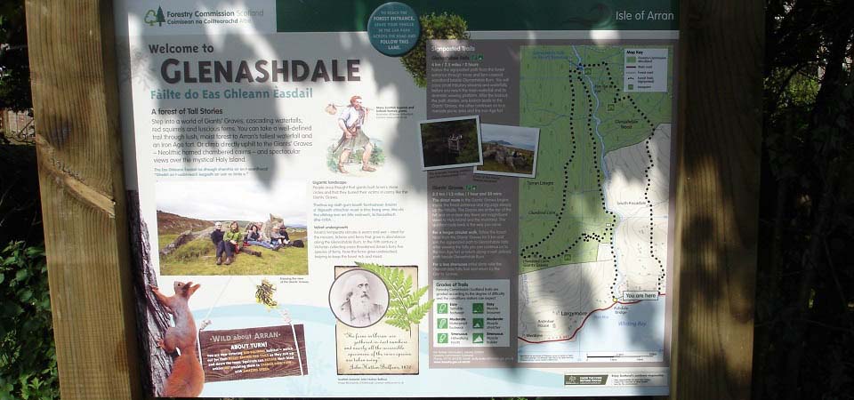
The image below is of an information
board at the start of the trail to the
Glenashdale Falls. The falls are the route
straight up, as seen on the map, and the
Giants Grave is round and back down to the
left. The route round to the right leads to
an ancient fort and back down through
Whiting Bay.
Large
Image
|
|
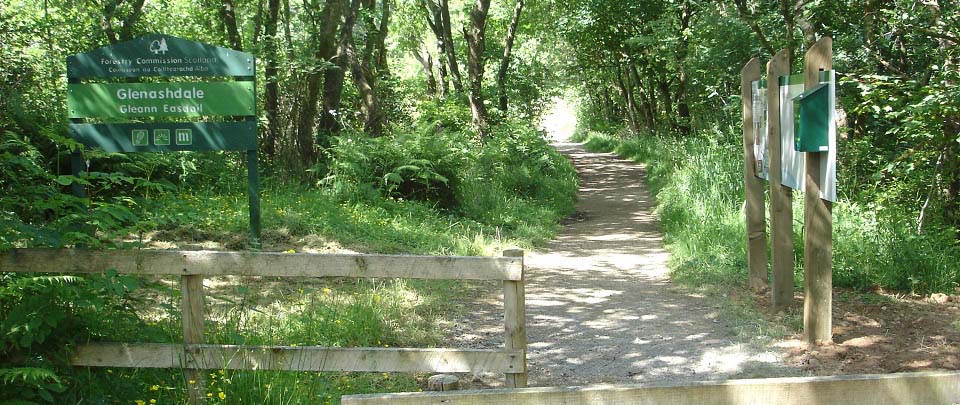
The image below is where the narrow road
ends and the woodland path begins. There
are more information signs here.
|
|
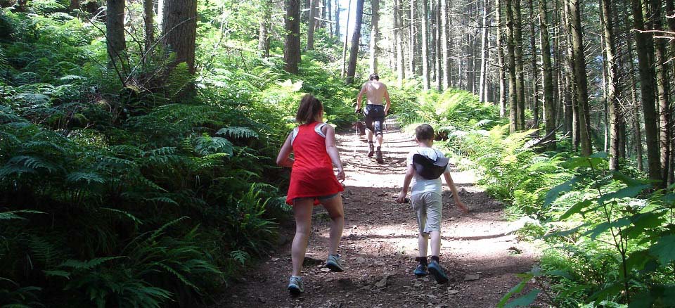
The image below is from the steeper last
part of the woodland path to the
Glenashdale Falls.
|
|
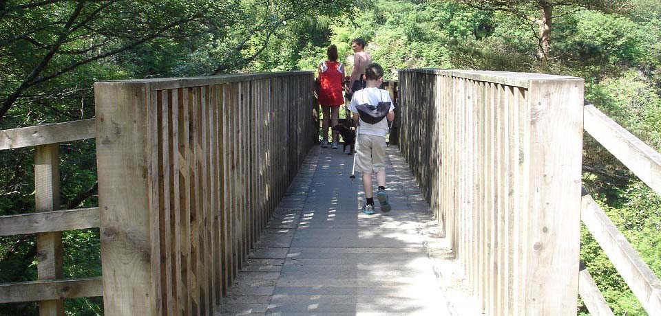
The image below is the viewing platform
for the Glenashdale Falls.
|
|
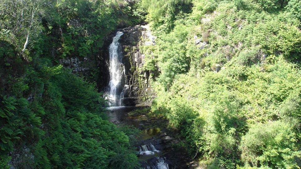
The image below is of the top section of
the Glenashdale Falls. Had only seen
pictures of this section before so was
surprised the falls are a lot higher, going
right down into the glen. Seems nobody can
get all the falls in the one pic, so I
joined two pics together to show them all,
as seen on the link below.
The falls are said to be even more
impressive after heavy rain.
Large Image
of the Glenashdale Falls.
|
|
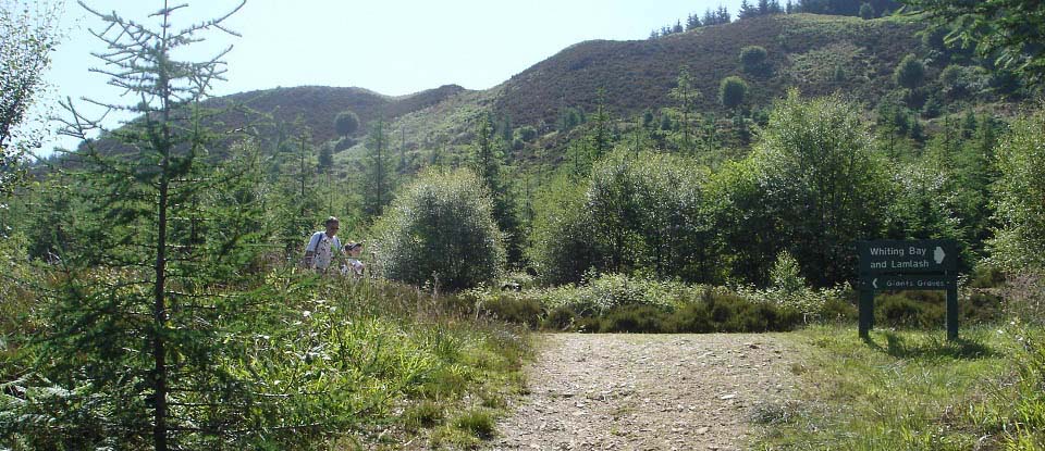
The image below is of the trail just
above the Glenashdale Falls. The road to
the right leads to an ancient fort and down
into Whiting Bay. The road to the left
leads to the Giants Grave and back down
onto the Glenashdale Falls trail close to
Whiting Bay.
|
|
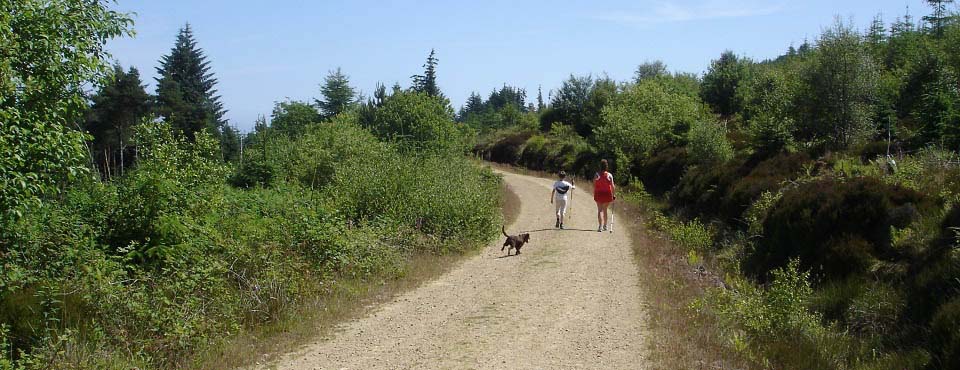
The image below is of the road round to
the Giants Grave. This path is fairly level
with good views to the left over Whiting
Bay and the Holy Isle.
|
|
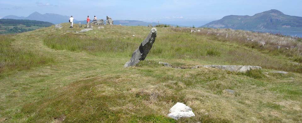
The image below is of the Giants Grave
looking north with the Holy Isle in the
Distance. This site is said to be early
Bronze Age graves with a central
chamber.
There were trees planted all around the
graves for many years. These trees have
recently been cut down, allowing fantastic
views all around. Hopefully they will not
plant trees as close in the future.
Think the reason it is named the Giants
Grave, is people believed it was the grave
of one person, rather than the grave of a
number of people, so must have been a
really large person.
|
|
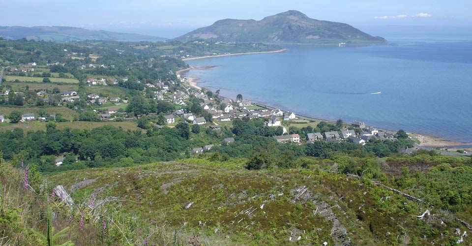
The image below is from the trail
leading back down into Whiting Bay. You can
see the Ashdale Burn, Ashdale Bridge, and
car park down to the right in this
image.
This has to be the best place to view
Whiting Bay.
|
|
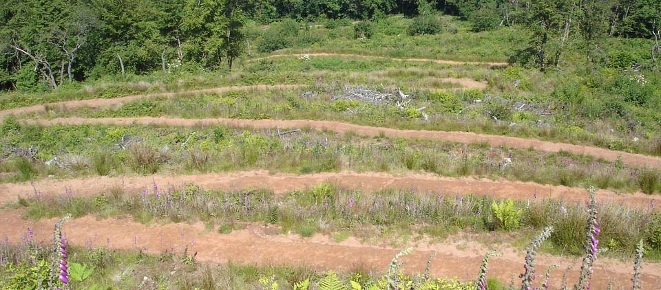
The image below is of winding road down
from the Giants Grave to the Glenashdale
Falls Trail, a few hundred yards up from
the Ashdale Bridge car park.
|
|
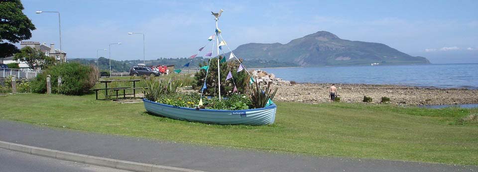
The image below is of the Ashdale Bridge
south side with a boat full of flowers.
|
|
The walk to the Glenashdale Falls is
steady uphill most of the way with a fairly
steep section just before the falls. The
walk round from the falls to the Giants
Grave is fairly level with great views. Not
sure what the fort is like on the other
route.
It was back in the car after this walk
and down to the Torrylin Cairn at Kilmory on the
southwest of the island, that is similar to
the Giants Grave, but only half of a mile,
fairly level, walk out to it.
For more information on Arran and
Whiting Bay, visit the:
Tour
of Arran Page.
|
|
|