|
Where: Corserine, from Forest Lodge,
Dumfries & Galloway
When: September 15th 2012
Who: I Parker
Why: Good weather so a day out
Weather: Sunny spells
Height: 2,671ft / 814m
Distance: About 8 miles, 5 hours
The Forest Estate is 34 miles southeast
of Ayr off the A713. The entrance to the
estate is 7 miles south of Casphairn, with
signs at the entrance stating Forest
Estate.
This is a good scenic, single track, tar
road with many passing places.
The range here is known as the Rhinns of
Kells, containing from the north, the 1,732
ft Black Craig, 2,043 ft Coran of Portmark,
2,011 ft Bow, 2,162 ft Gairnsgarroch, 2,280
ft Meaul, 2,648 ft Carlin's Cairn, 2,671 ft
Corserine, 2,034 ft Meikle Craigtarson,
2,349 ft Millfire, 2,421 ft Milldown, and
2,457 ft Meikle Millyea.
This photo tour covers the Tourist Trail
up the north east ridge to Corserine, and
back down the tougher southeast ridge to
Loch Harrow.
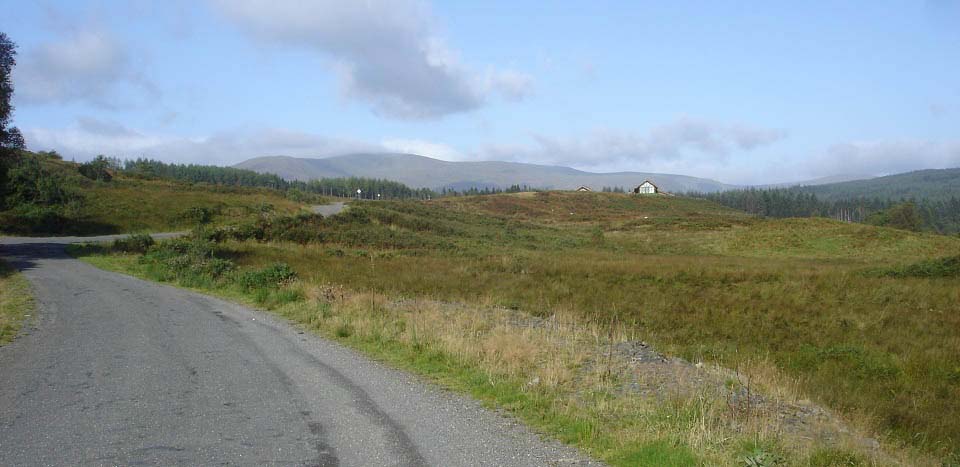
The image below is from the Forest
Estate road approaching The Green House
with Corserine in the distance.
Forest Estate
Road Map
Large Hill
Route Map
|
|
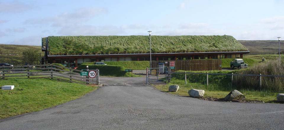
The image below is of The Green House 2
miles along the estate road. This is a
Natural Power Organization.
|
|
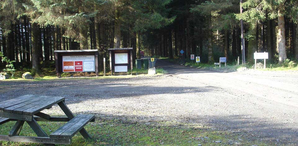
3 miles from the start of the estate
road, your reach the hiking car park with
seating areas, as seen below. There is a
map here that shows the roads throughout
the forest to the hills. Many of the roads
are named after people.
There is a sign here that states: if any
cars are left in the car park after 8
o'clock, the estate management will report
the owners as being lost in the hills or
forest, and may need rescuing. Even though
the trails are marked, it is best to carry
an OS map as there are many other forest
roads here that you can take a wrong turn
onto and get lost.
The road straight ahead is the Professor
Hans Heiberg Road. This road is normally
used out to, or on the road back from the
most southern hill on this range, Meikle
Millyea.
The main tourist trail to Corserine
leads off to the right in this image on a
well marked path.
|
|
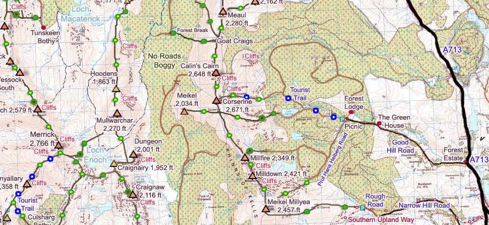
The map below shows the main trail up
Corserine past Loch Harrow and up the
northeast ridge.
Larger
Map
|
|
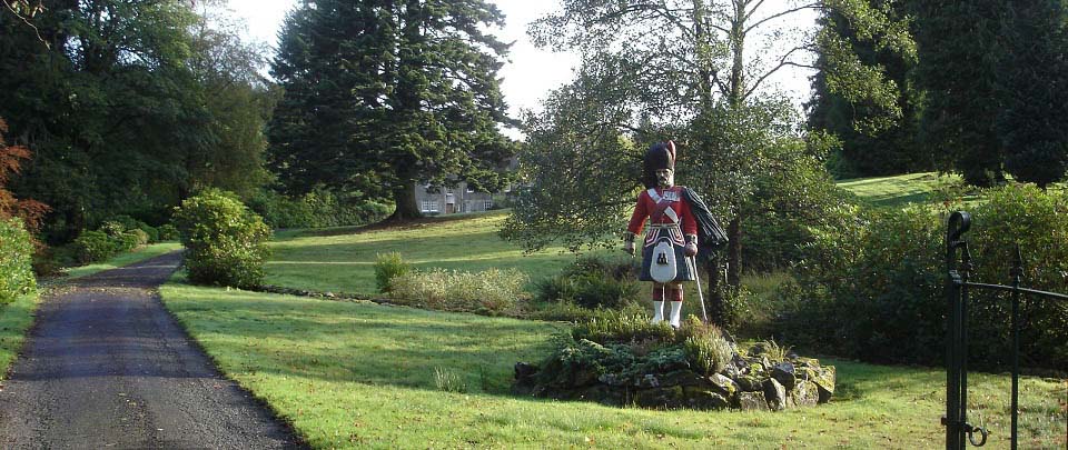
On the road round to Corserine, over to
your right through the trees, you will see
a figurehead, as seen below, at the
entrance to the Forest Lodge. This
figurehead is from the Fred Olsen passenger
liner named the Black Watch that was sunk
during the Second World War. The ship was
operated on the Newcastle - Oslo route.
The estate must have connections to the
Fred Olsen cruise line, explaining why many
of the forest roads have Scandinavian
names.
|
|
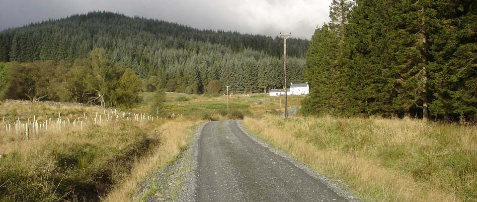
The forest road to Corserine heads up
into the forest past a white house, as seen
below.
|
|
The forest road heading north has a
number of blue and white signs directing
you to Corserine. This forest track is
about 2 and a half miles out to the
northeast ridge of Corserine. You pass a
road marked Birger Natvig Road. This is the
road down the south side of Loch Harrow to
the southeast ridge of Corserine.
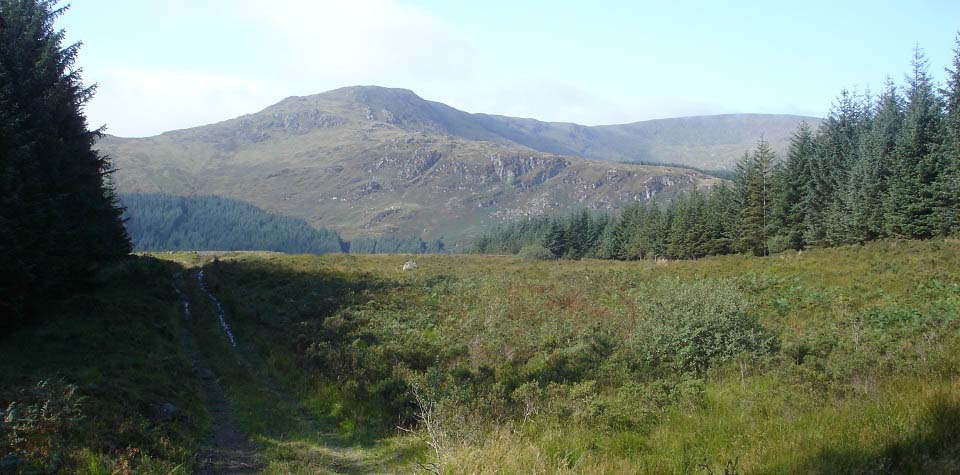
The blue signs there state hikers should
carry on straight past that road and follow
signs for a bridge and stile. The view
below is from just past Birger Natvig Road
at a clearing, looking over Loch Harrow to
the more rocky southeast ridge of
Corserine.
|
|
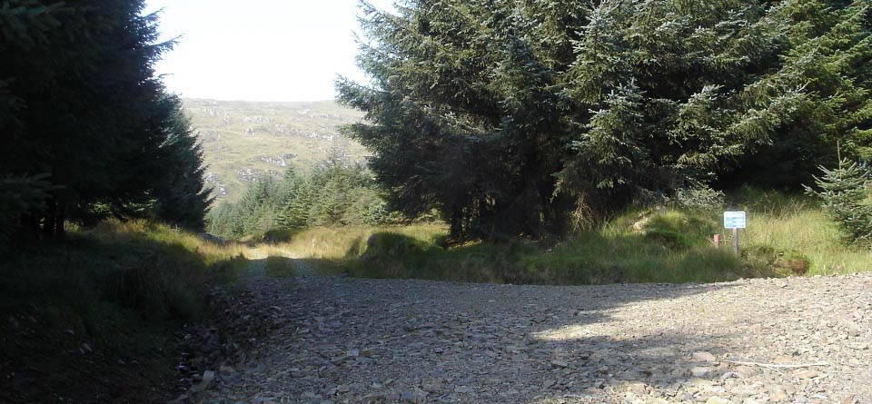
After a stiff hike up the forest road
for about another half of a mile, the blue
signs point down an older forest road
towards the northeast ridge of Corserine.
Note the small red post here, red posts
mark the trail from here.
|
|
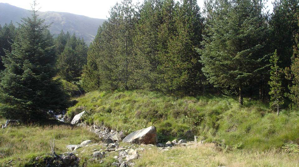
About 1 third of a mile down this old
road, the road turns to a soggy path. The
bridge is actually boulders across the
burn. You have to be careful you don't walk
past this part of the trail as it is only
marked by a small red post.
|
|
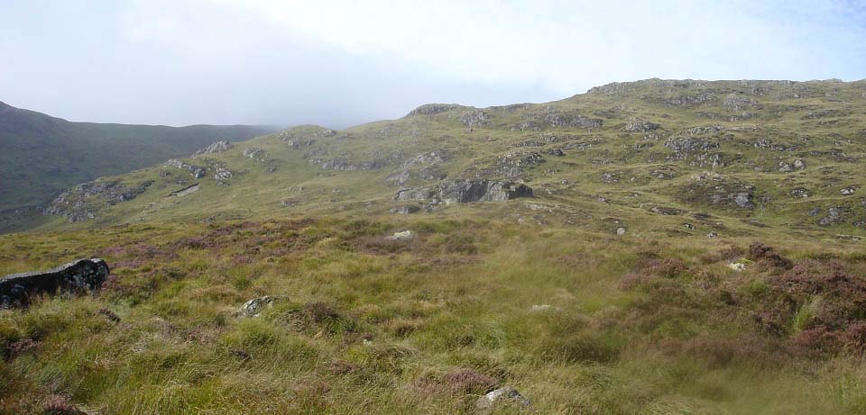
After a few hundred yards through a
narrow woodland path, your reach a stile
that gives the view below. The hike up
Corserine consists of a fairly steep hike
up to this first ridge, then a fairly steep
hike up to a second ridge, then from the
second ridge it is an easy hike to the
summit.
There is a narrow trail all the way to
the top.
|
|
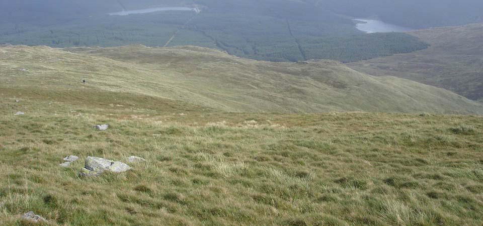
The image below is looking down from the
second ridge to the first ridge and Loch
Harrow on the right. There are a number of
sub hills on the road up with cairns you
can visit. The sub hills normally have the
best views.
|
|
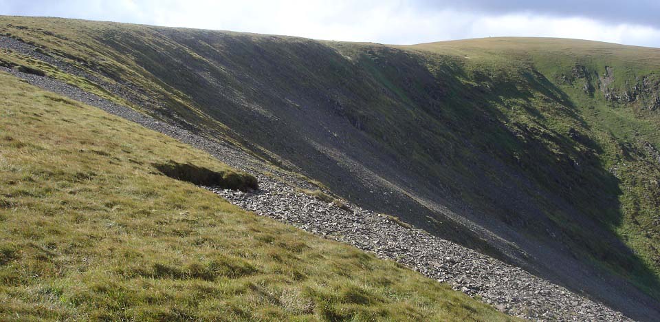
The view below is from just above the
second ridge looking to Corserine summit.
It is easy and safe hiking up here as long
as visibilty is good. Mind the drops here
if visibility is poor.
As I was hiking up the northeast ridge,
I noticed someone in a red jacket hiking up
the southeast ridge, that looked a fair bit
tougher.
|
|
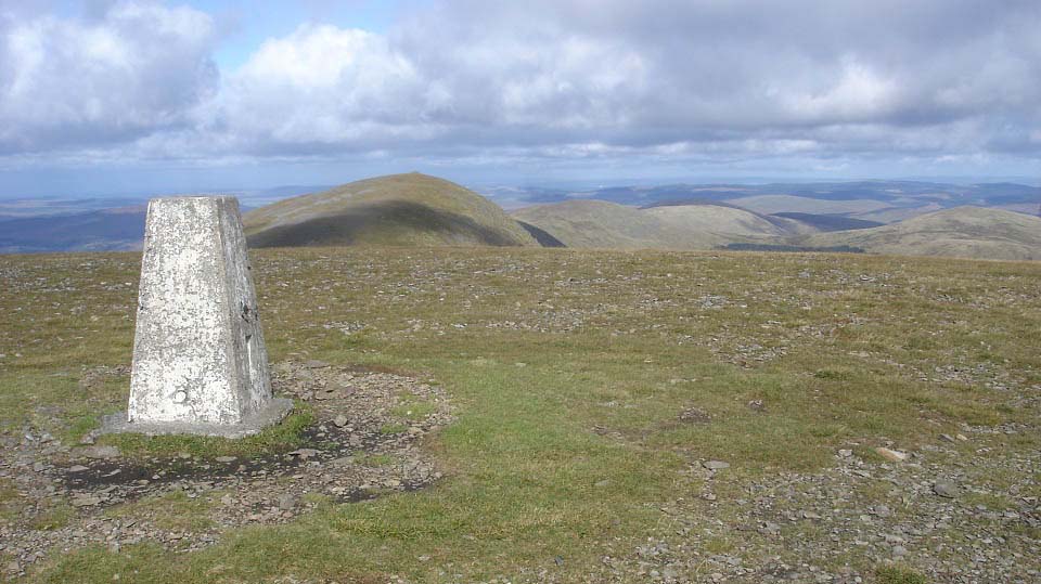
The image below is from Corserine summit
looking north to Carlin's Cairn, Meaul,
Gairnsgarroch, Bow and Coran of
Portmark.
|
|
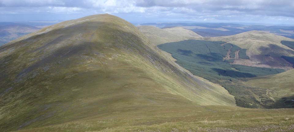
The view below is of the route over to
the 2,648 ft Carlin's Cairn. This is a
fairly easy hike if you want to bag another
2,500 ft plus hill, just a bit steep in
places. You can find an aircraft crash
site, just left of where this image was
taken.
Large
Image
|
|
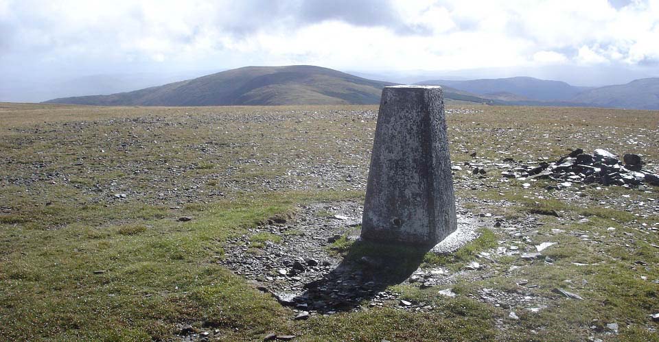
The view below is from Corserine looking
south to the 2,349ft Millfire, 2,421ft
Milldown, and 2,457ft Meikle Millyea. Many
hikers want to go down over those three
hills then back to the car park from Meikle
Millyea along the Professor Hans Heiberg
Road. Make sure you have an OS map on that
route as there are a number of forest roads
down that way, easy to go down the wrong
one. The Professor Hans Heiberg Road is not
too well marked in places.
The hike along those three hills is
fairly straight forward. You then follow a
stone dyke down off the east side of Meikle
Millyea to a stile that leads to The
Professor Hans Heiberg Road, down past a
watch tower. That route down will take
about 3 hours longer.
Large Image
. Tour of the Meikle
Millyea Route
|
|
I met the hiker that made it up the
southeast ridge, on the top of Corserine.
He stated the route was very tough going up
through the short forest break and onto the
start of the ridge.
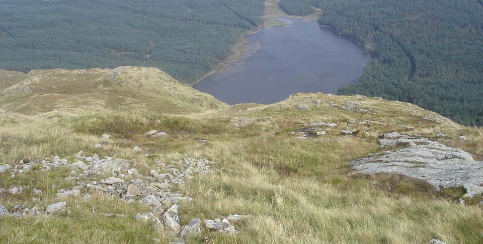
I decided to go down that way to see if
I could get some good photos. The view
below is going down the southeast ridge, a
fair bit more adventurous than the
northeast ridge. There is a good forest
road that runs right round to the end of
the loch, at the bottom of this ridge.
If you are not used to rough hiking,
best go back down the northeast ridge,
following the path.
There is another aircraft crash site,
close to the east side edge, when hiking
across to here.
|
|
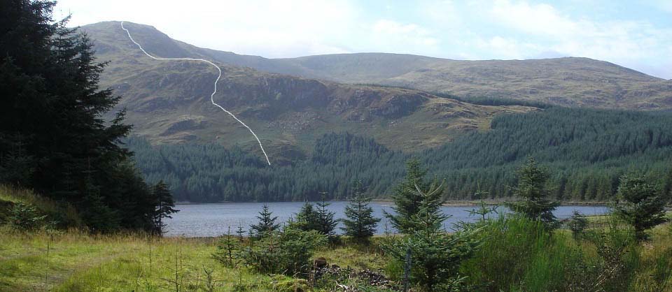
The view below is from the road round
the south side of Loch Harrow, looking back
at Corserine southeast ridge. There is
short forest break round there for a route,
on or off that ridge, next to a small
quarry. I came down through the trees next
to the forest break. I found it was better
walking as the trees have few branches low
down.
The southeast ridge is definitely a lot
tougher and more dangerous, probably why
the signs show the way to the northeast
ridge. The image below shows the tough
route, but you can miss the route up
between the cliffs by following the fence
around to the left of the lower part.
Large
Image
|
|
This was an interesting hike that took
about 4 hours, could have spent a fair bit
more time visiting some of the sub
peaks.
Corserine looks like a large grassy hill
from the north, south and west, but from
the east, as seen above, it looks like a
challenging mountain, especially the
southeast ridge.
|
|


