|
Where: Cairnsmore of Carsphairn,
Dumfries & Galloway on the Ayrshire
border
When: October 8th 2012
Who: I Parker
Why: Good weather so a day out
Weather: Sunny
Distance: About 4 - 6 miles, 4 - 6
hours
The car parking for this hike is next to
a cottage about 23 miles southeast of Ayr
next to the A713, about half of a mile
northwest of Carsphairn.
The 2,614ft / 797m Cairnsmore of
Carsphairn has a tourist trail most of the
way to the top. There are other hills that
can be hiked along with this one, although
there are no tourist trails over them.
This photo tour covers hiking up the
tourist trail, up the northwest ridge of
Cairnsmore of Carsphairn. This tour then
heads east to the 2,329ft Beninner, then
back to Cairnsmore of Carsphairn to go down
the southwest ridge over Black Shoulder,
Dunool, Willieanna, and Craig of
Knockgray.
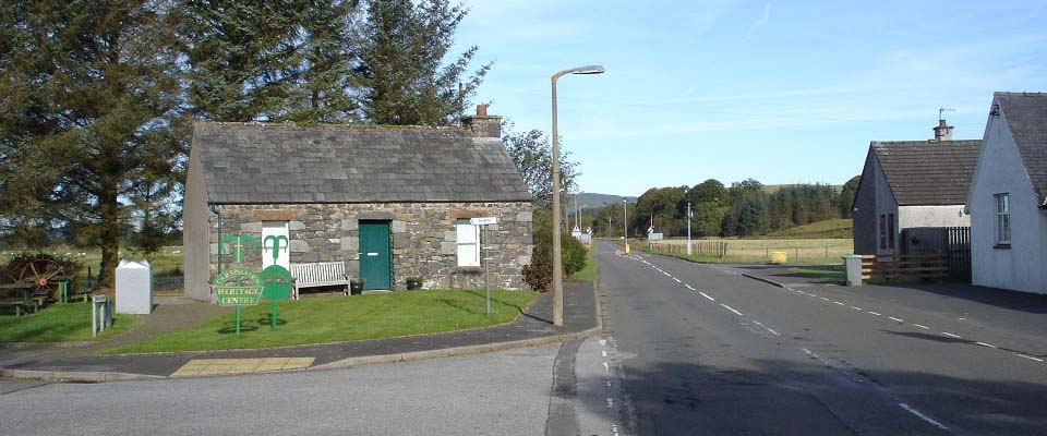
It was to be sunny most of the day, so
when waiting on the sun to work its way up
and round to the south, I decided to pop
into Carsphairn to get a photo of the
Carsphairn Heritage Centre, as seen below.
The village has a popular cafe. The pub
seems closed just now.
Road Map .
Carsphairn
Page
Hill Walking
Map
Large Hill
Route Map
|
|
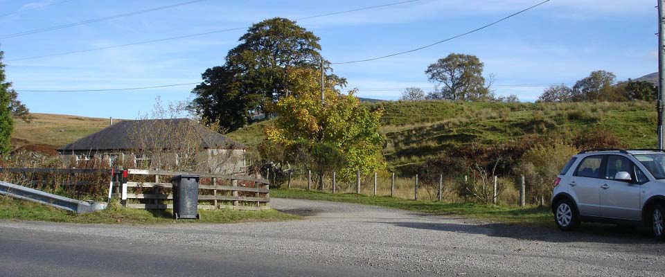
The image below is of the place to park
next to the A713 road, just half of a mile
northwest of Crasphairn, by the bridge over
the Water of Deugh. There is a cottage here
and a hill road leading up to Cairnsmore of
Carsphairn. There is room for a few cars
parked close to the fence.
There is also a car park across the road
where the farmer stores large hay bales.
The parking here can be popular at times
with hikers, fishermen, and people
exploring the legendary cave, old bridge,
and The Green Well of Scotland, a place in
the river with stories of giants and
treasure?
With this car parking being next to the
main road, it makes this the best
hill/mountain in southwest Scotland to get
to for snow hiking.
|
|
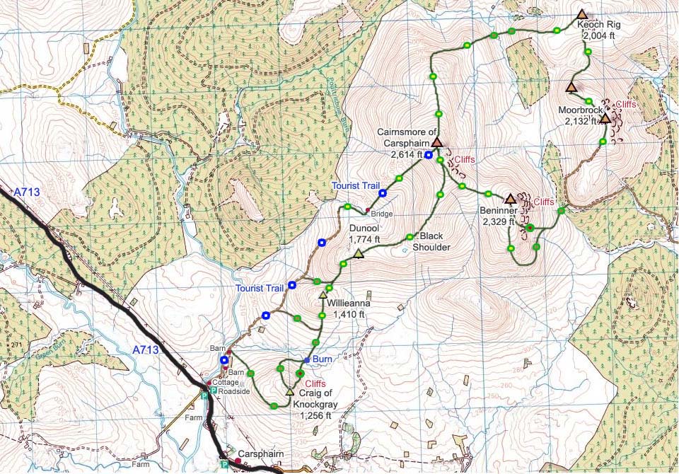
The map below shows the tourist trail to
Cairnsmore of Carsphairn. It also shows the
other trails to other hills. Blue dots are
the tourist trail, green and yellow -
fairly good trails, green and brown - rough
trails, and green and red - steep
routes.
|
|
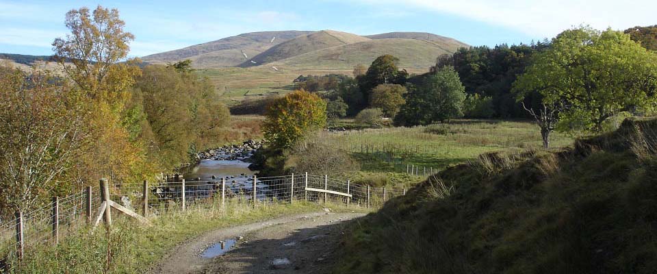
The image below is from the road heading
up into the hills. The tourist trail
follows this road right up onto the
southwest ridge of Cairnsmore of Carsphairn
as is shown by the white lines in the image
below.
There are a number of hikers gates to go
through and a hikers bridge to cross.
|
|
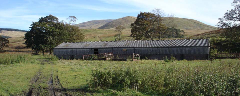
The view below is of the second barn on
the tourist trail. There is a fence behind
the barn that leads off to the right here
up onto Craig of Knockgray hill. That is
the tougher route up the southwest ridge,
as can be seen on the right side of the
image below. That trail follows the stone
dyke all the way from Knockgray summit to
Cairnsmore of Carsphairn. The route up to
Knockgray from here is through the deep
stuff following faint tracks. This photo
tour will show that route back down to
here.
In winter, this barn may be surrounded
by cows and sheep that are lambing. You can
follow a trail round by the riverside to
avoid the animals, then pick up the trail
again beyond the barn.
|
|
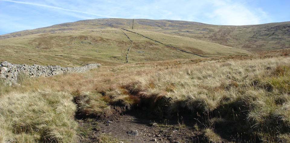
The view below is the end of the track
to the northwest ridge of Cairnsmore of
Carsphairn. It is a fairly good trail from
here, just a few soggy patches in the low
part down there.
The tourist trail follows this dyke down
to a burn, turns right and goes alongside
the burn for a couple of hundred yards,
then follows the other stone dyke up.
|
|
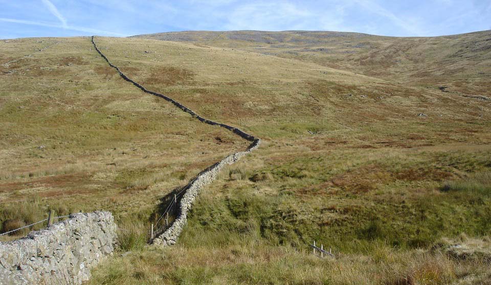
The image below shows the trail as it
crosses the hiking bridge down in the dip.
This is a soggy section of a few hundred
yards so waterproof boots are needed most
of the year.
|
|
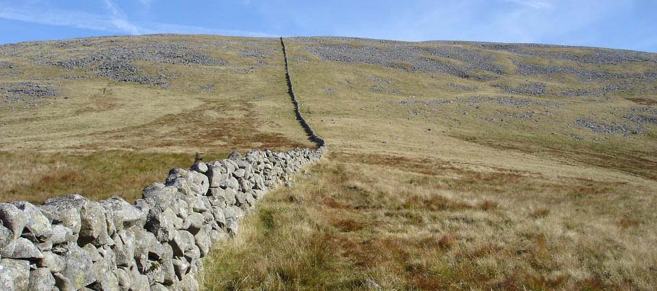
The image below shows the final part of
the hike to the summit of Cairnsmore of
Carsphairn. There is a rocky section close
to the top that you have to pick your way
through.
|
|
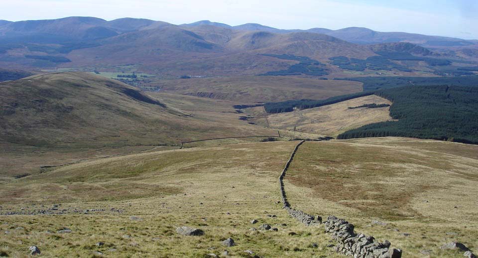
The image below is from close to the top
looking back down at the trail up. You can
just see the road winding its way round
Dunool hill, then over to the stone dyke
that leads to here.
The hills in the distance are the
Corserine Range, and behind them, the
Merrick Range. There are five hills on
those ranges over 2,500 ft. Corserine,
Carlin's Cairn, The Merrick, Kirriereoch,
and Shalloch on Minnoch. Along with this
hill, these are the only six hills in
southwest scotland over 2,500 ft. The only
other hills over 2,500 ft in southern
Scotland are in the area just east of
Moffat.
Large
Image
|
|
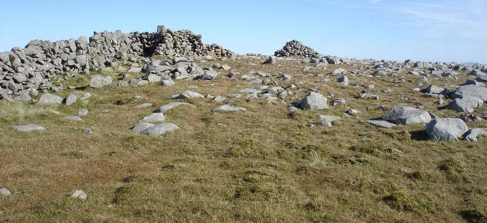
The image below shows the cairn and trig
point on Cairnsmore of Carsphairn when
close to the top of the tourist trail. The
trig point has a dyke all around it. It
took me just under 2 hours to get to here
taking my time, so the tourist trail up and
down will probably average about three and
a half hours.
|
|
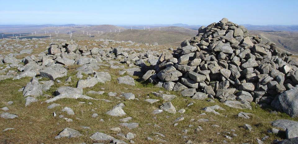
The image below is looking north towards
the Windy Standard Wind Farm. There are a
number of hills over there above 2,000ft.
Those are normally hiked from the car park
at Afton Reservoir Dam by New Cumnock.
|
|
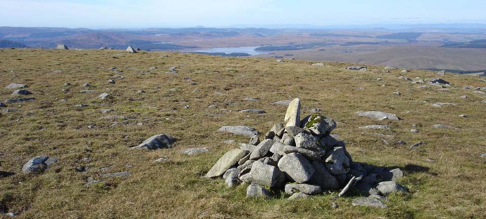
The image below is from the Cairn on the
west side of Cairnsmore of Carsphairn
looking west to Loch Doon and the Isle of
Ailsa Craig.
Down to the right here is a route over
to the Windy Standard hills. That route
looks ok, but there may be a rough part
down at the lowest point.
|
|
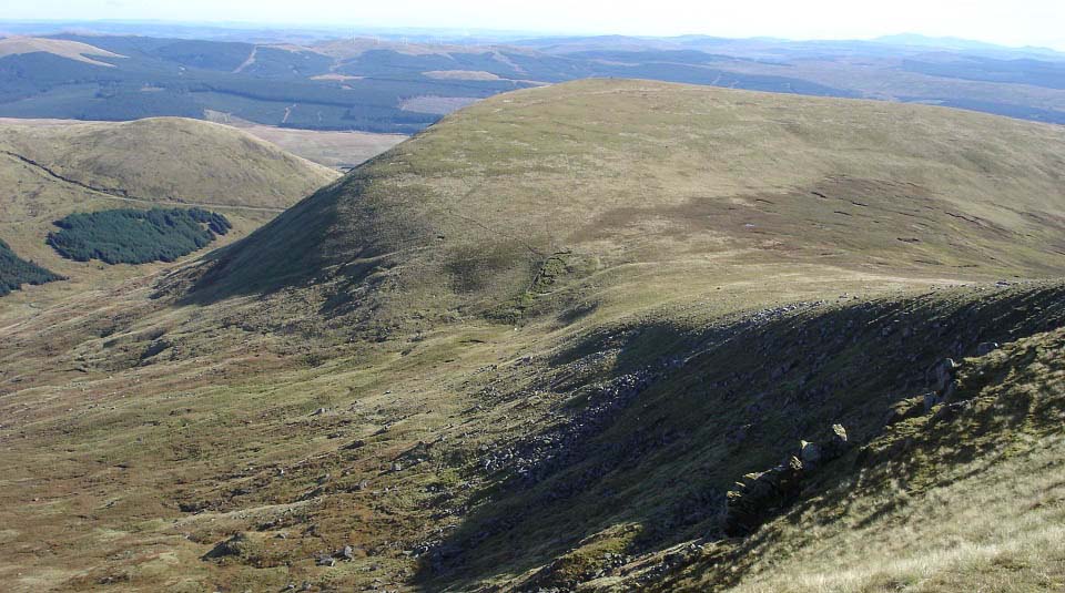
The image below is from the east side of
Cairnsmore of Carsphairn looking towards
the 2,329ft Beninner.
There are cliffs here on northeast side
of Cairnsmore of Carsphairn and on the
north and east side of Beninner to look out
for if visibility is poor.
|
|
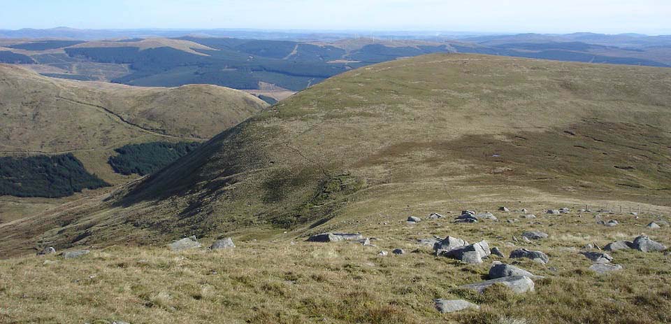
The image below shows the route across
to Beninner. You have to go over the fence
on the right here twice via Stiles as the
fence is an Electric Fence. The route is
fairly straight forward, just remember to
lift your leg high enough when going over
the stiles.
There seems to be a trail down to the
left in the dip that leads across to the
Windy Standard Range, only for the mega fit
people.
|
|
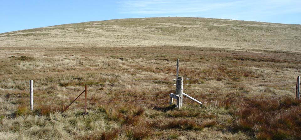
The image below shows the second stile
at the start of the hike up Beninner. Mind
the Electric Fence here.
|
|
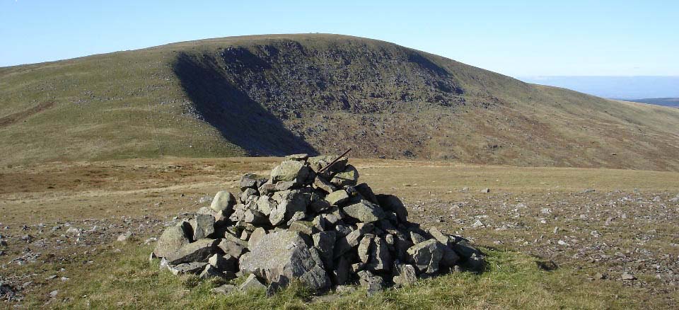
The image below is from the cairn on
Beninner looking back west to Cairnsmore of
Carsphairn. This view shows the 400ft
cliffs on the northeast side of Cairnsmore
of Carsphairn.
Large
Image
|
|
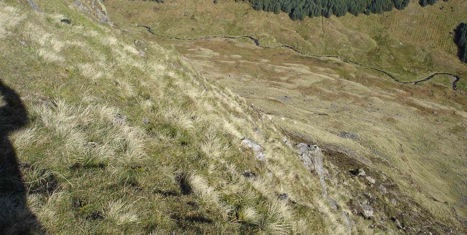
The image below is looking down from the
northeast side of Beninner. There are about
600ft drops like this along this side so be
careful if visibility is poor. There is
also a steep rout up just to the right of
here.
|
|
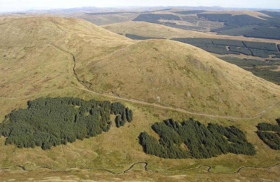
The image below was taken from the same
spot as the image above. This image shows
the 2,132ft Moorbrock on the Windy Standard
Range. You either have to go down the steep
route to get over there, or go down the
southwest ridge then back round to
Moorbrock.
|
|
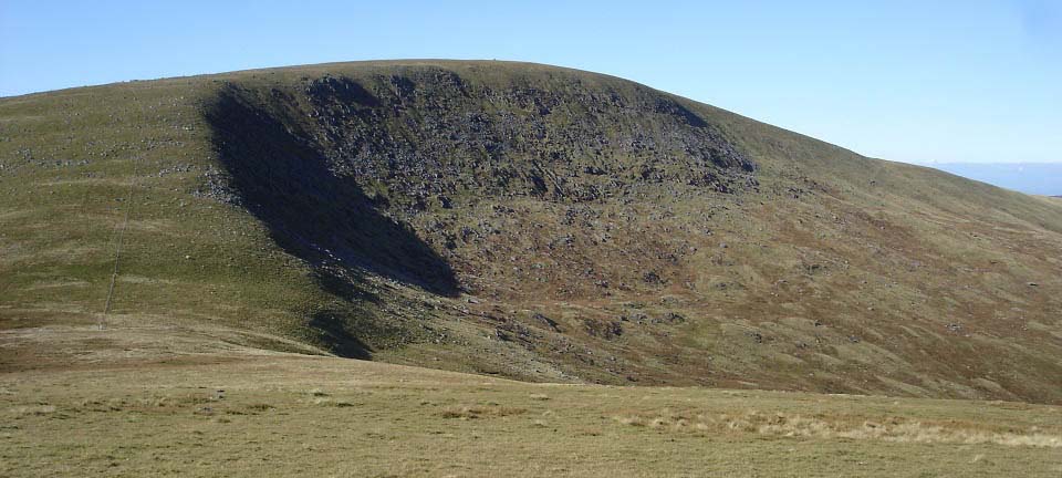
The image below is heading back to
Cairnsmore of Carsphairn. The route down
the southwest side of Beninner looked a bit
rough, and I liked the look of the
southwest ridge of Cairnsmore of
Carsphairn.
|
|
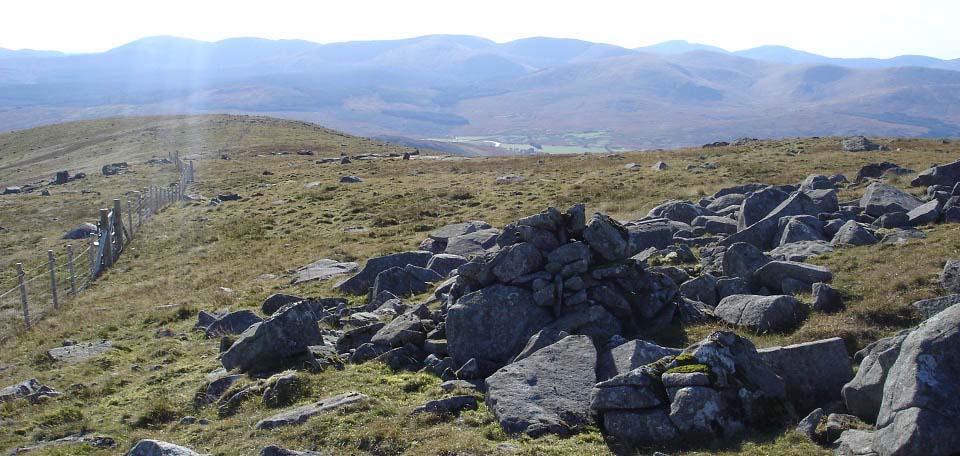
The image below is from the cairn on the
southwest ridge of Cairnsmore of
Carsphairn, looking at that way down over
Black Shoulder..
|
|
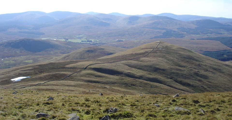
The view below is from Black Shoulder
looking west to the 1,774ft Dunool. The
stone dyke runs right over the top of the
three hills down here. There is a faint
trail that follows the dyke.
|
|
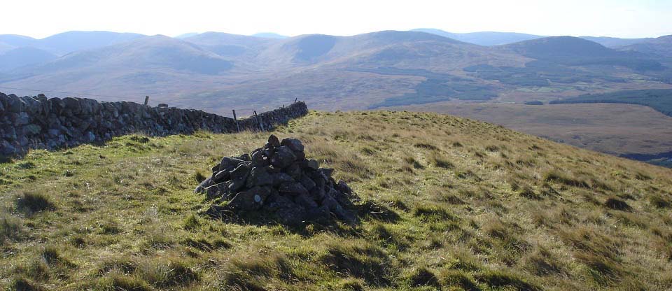
The image below is of the cairn on
Dunool looking southwest, the way down.
This little hill has steep sides, as you
see from the tourist trail as it passes its
west side.
The tourist trail back is down to the
right in this image. It is a steep way down
and fast.
|
|
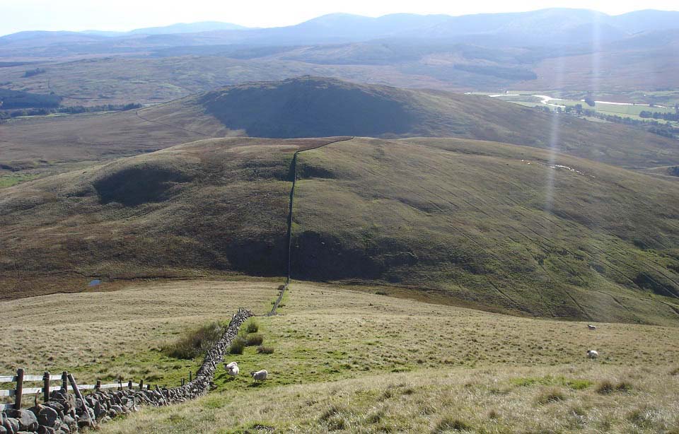
The view below is from Dunool looking
southwest to the 1,410ft Willieanna. This
is a fairly steep descent. There is a fence
at the low point that runs right in the
image below, across to the tourist trail,
handy if you do not fancy the hike over
these two smaller hills.
|
|
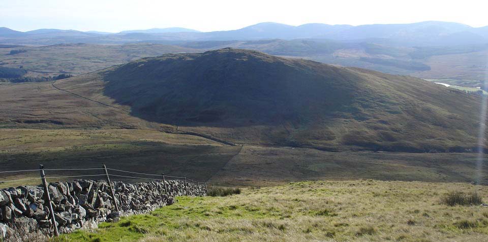
The view below is from Willieanna west
to the 1,256ft Craig of Knockgray. There is
a fence in the low part here that runs
right in this image to the tourist trail,
if you do not fancy hiking over
Knockgray.
The low part here is the roughest
section with deep stuff all around. You
have to follow animal tracks through it.
Probably best to follow the stone dyke. I
drifted to the right towards a gate then
found myself in three feet deep stuff. Was
not too bad though, as there were many
animal tracks, just very slow looking out
for hidden burns, could hear them, but
could not see them.
There is a burn just before the side of
Knockgray that has to be crossed by
stepping stones. I have found hiking poles
make crossing stepping stones a lot
safer.
The stone dyke here runs straight up the
steepest park of Knockgray, an amazing
sight, pity the sun is not hitting that
side as it has to be seen to be believed.
The Great Wall of Carsphairn.
|
|
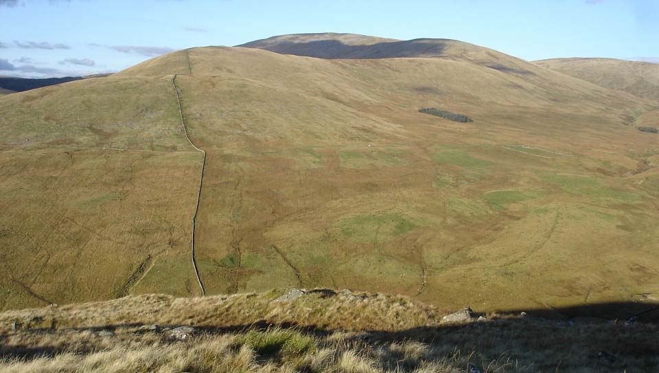
The image below is from Craig of
Knockgray looking back to the Cairnsmore of
Carsphairn southwest ridge route. If you
are going up this route, mind the cliffs
here if visibility is poor. Just goes to
show, even the little hills can be
dangerous. As the sun was not on the steep
dyke route. I worked my way round to the
west and up that side to here. There were a
few beef cattle with calfs on this hill, so
had to keep well away from them. Cows with
calfs can be dangerous.
Large
Image
|
|
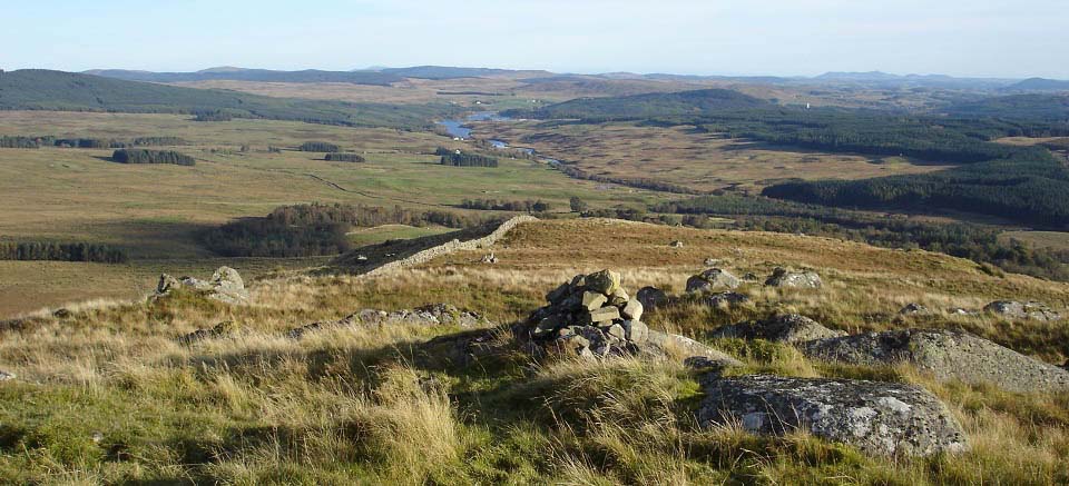
The image below is from the Cairn on
Craig of Knockgray looking south to Kendoon
Loch.
|
|
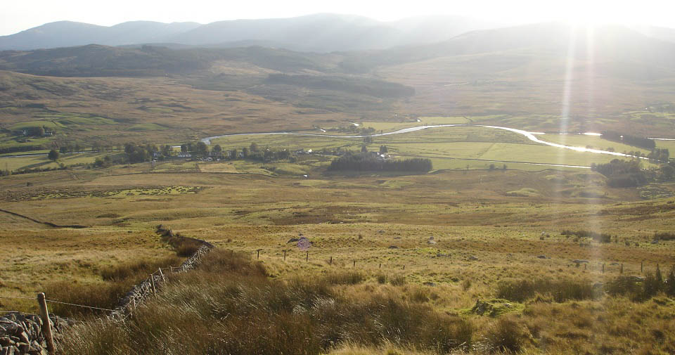
The view below is from the west side of
Knockgray looking down on Carsphairn
village. The fence leading to the right
here leads to the barn on the tourist
trail.
|
|
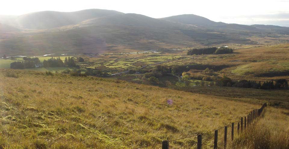
The view below is from the trail
following the fence across to the barn on
the tourist trail. This is thick stuff with
Animal Tracks and old Quad Bike Tracks to
follow.
You can see the main road from here with
the cottage and car next to the road. You
may find it easier to head straight for the
cottage from here, as it is shorter with
only a short soggy patch to get through
next to the Cottage, where the car is
parked.
|
|
I really enjoyed the hike up the tourist
trail. There are good hiking gates to get
through, and a new bridge over the burn.
There was a soggy section a few hundred
yards either side of the bridge, but
nothing too bad. The trial could be doing
with some signs, but the road runs right up
onto the side of Cairnsmore of Carsphairn,
so there is not much chance of getting
lost.
The route across to Beninner and back
was easy going, just the electric fence had
to be crossed carefully.
The route down the southwest ridge was
steeper in places, and more eventful than
the tourist trail. The crossing over to
Knockgray, and down to the tourist trail
from there was rough going, but if I had
missed that hill out, I would not have seen
the Great Wall of Casphairn, and get the
great pic from Knockgray up to Cairnsmore
of Carsphairn.
The easiest route back down, as I found
on a winter hike, is down over Black
Shoulder, across to Dunool, then from
Dunool cairn, head down the steep west side
of Dunool to the road back to the
Cottage.
Large Map
of the Ranges in this Area
|
|

