Blackwaterfoot / Isle of Arran
|
AS
Home
|
|
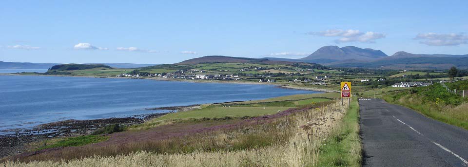
The image below is looking north towards
the village of Blackwaterfoot on the west
side of the Island of Arran, 11 miles west
of the main ferry port of Brodick.
This is the largest village on the west
side of Arran.
Brodick to Blackwaterfoot Map
|
|
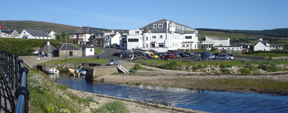
The image below is of the Kinloch Hotel
in the centre of Blackwaterfoot. The hotel
has a large restaurant and bar diner,
popular with visitors and golfing parties.
There are a few shops around the hotel, and
the Blackwaterfoot
Lodge is 50 yards up the road.
Kinloch Hotel
Map / Reviews
|
|
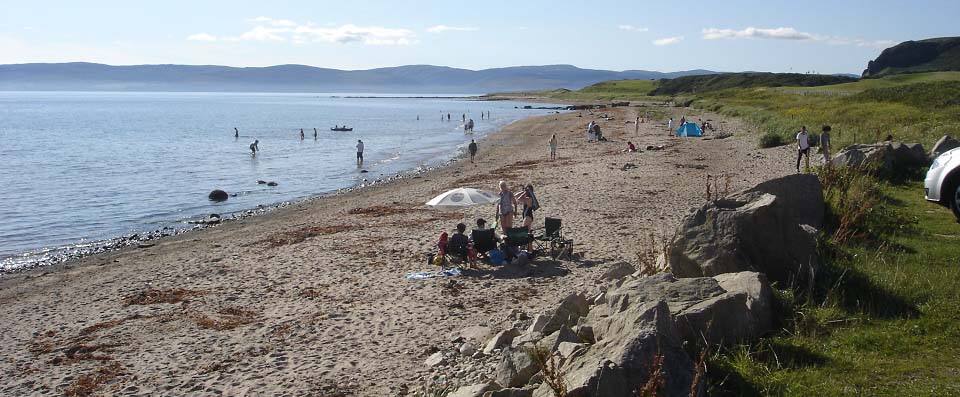
The image below is of the Blackwaterfoot
Beach looking north with the Mull of
Kintyre over to the left. The Shiskine Golf
Club is to the right, and Kings Cave is out
past the hill top right.
|
|
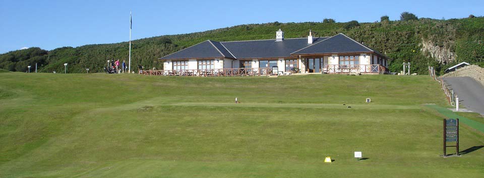
The image below is of the Shiskine Golf
Club situated on the north side of
Blackwaterfoot. The clubhouse here serves
tea, coffee, snacks and meals, with
fantastic views. There are also 2 all
weather tennis courts.
shiskinegolf.com
|
|
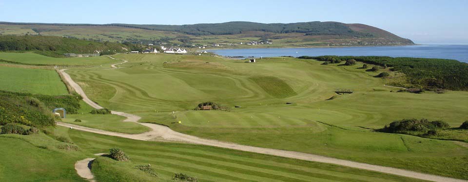
The image below is from the north end of
the Shiskine Golf Club looking back towards
the clubhouse and Blackwaterfoot. This is
classed as the top golf course on Arran,
attracting many visitors from far and
wide.
All Arran Golf
Courses.
|
|
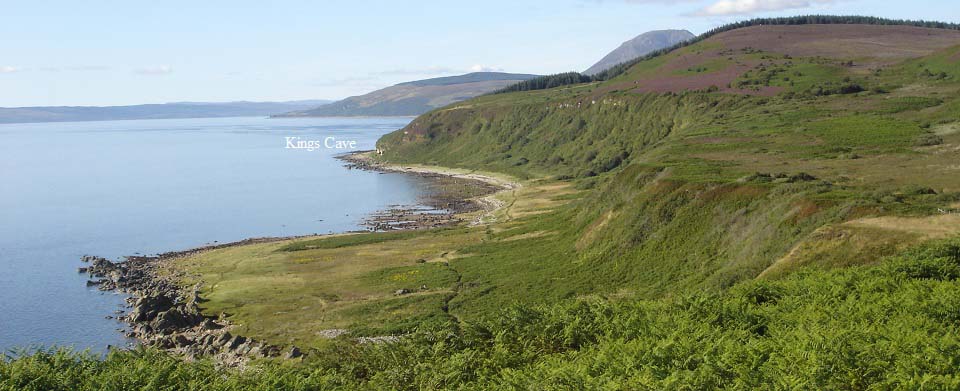
The image below is from the hill at the
end of the Shiskine Golf Course, looking
north to the Kings Cave. You can walk
around this hill, or hike straight over the
top. Beware of the cliffs though if you
hike over the top.
Kings Cave Photo Tour &
Information
|
|
Other attractions in the Blackwaterfoot
area are the Cairnhouse Riding Centre, and
Machrie Moor Standing Stones.
Cairnhouse
Riding Centre
Photo Tour of the Machrie Moor
Standing Stones
|
|
|