|
Where: Ayr to Greenan Castle then Heads
of Ayr then Dunure
When: October 2011
Who: webmaster ayrshirescotland.com
Why: a local walk my dog likes
Weather: Sunny
Distance: 5 - 8 miles
The Ayr to Greenan Castle walk is about
4 - 5 miles there and back. The walk can be
extended to the Heads of Ayr adding another
4 miles, and Dunure adding another 4 miles.
The first two images were taken in August
when the flowers around Ayr are at their
best.
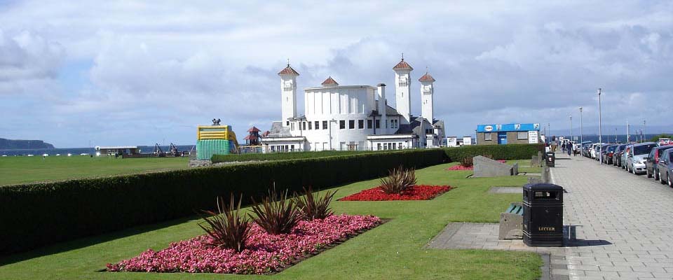
Below is Pavilion Road leading from Ayr
town centre to the beach with the Pavilion
building that is now an indoor/outdoor
children's adventure playground, named
Pirate
Pete's. There are 100s of car parking
spaces along the beach free of charge.
|
|
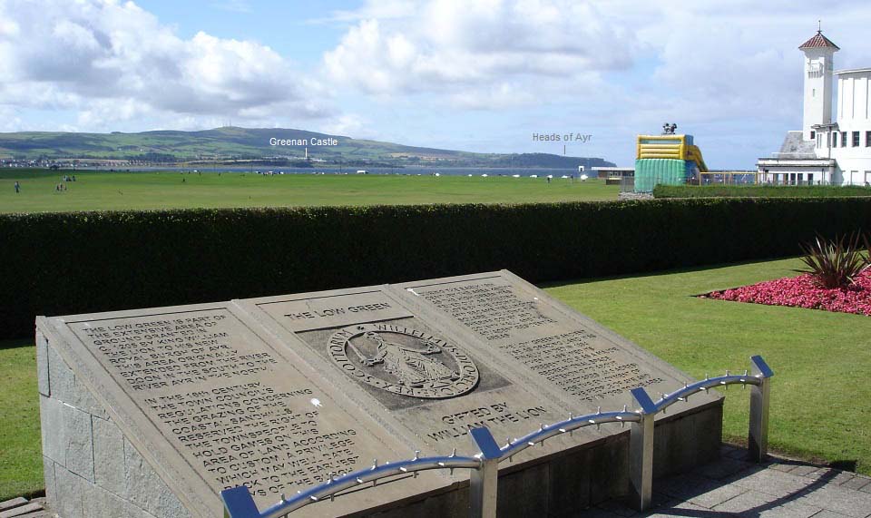
Just before Pirate Pete's you will see
the large plaque giving the history of the
Low Green. From here, you can walk across
the Low Green towards Greenan Castle in the
distance, or go down to the beach and
follow the beach to the Castle.
|
|
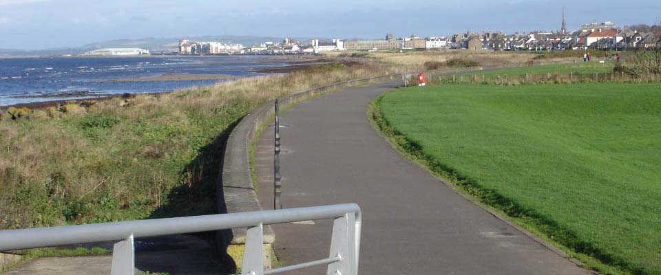
Just under 2 miles south, you will reach
the Doonfoot Millennium Bridge that crosses
the River Doon. This bridge was completed
in 2001. View looking back to Ayr.
|
|
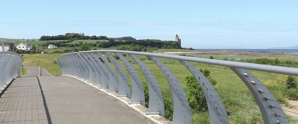
Cross the footbridge and follow the road
towards the castle.
|
|
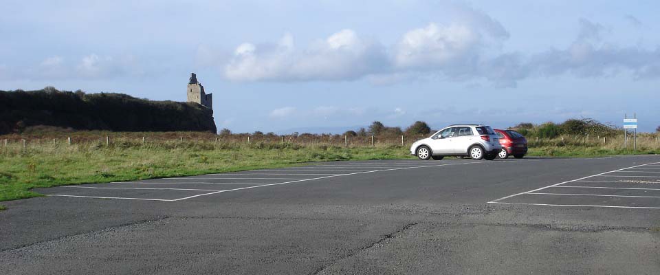
About 400 yards before the castle, you
pass through Greenan car park that is in
the area of Doonfoot on the map. This car
park can be used for a walk from here to
the Heads of Ayr about 4 - 5 miles there
and back.
|
|
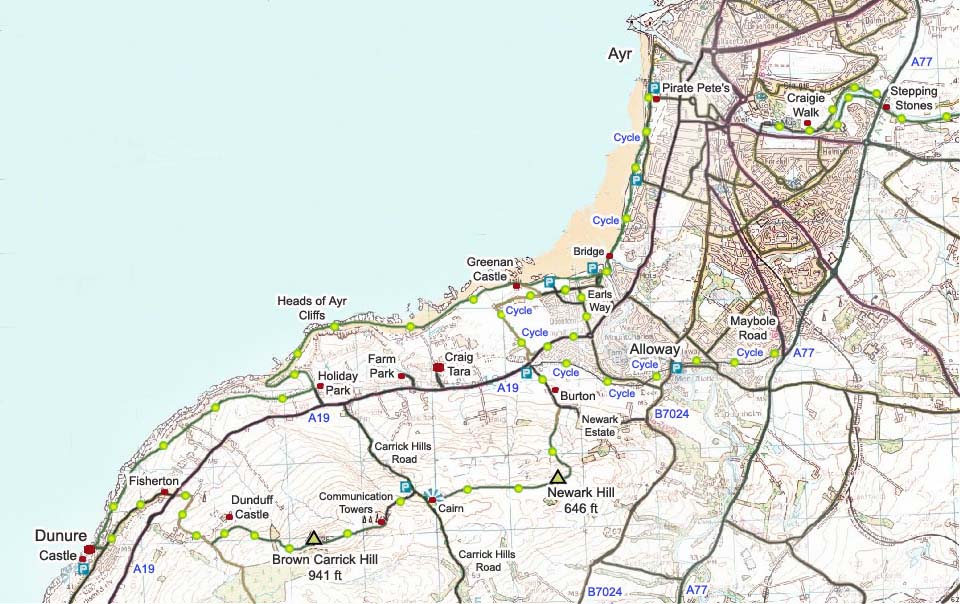
The map below shows the route along the
coast. This map also shows the hill route
that can be taken on the road back from
Dunure.
|
|
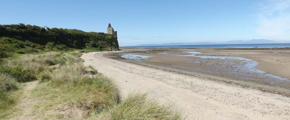
From the Greenan car park, you can walk
to or past the castle along the beach. Only
a really high tide will prevent you passing
the castle along the beach. If there is a
really high tide, you have to walk through
the dunes, then follow the path over the
hill behind the castle.
The best way up to the castle, is go
past on the beach, then follow the path up
from the south side.
|
|
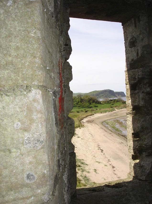
A view from the window of the castle
shows the 300 feet high Heads of Ayr cliffs
about 2 miles further south. There is only
one more rock outcrop that you may have to
cross by footpath if there is a high tide.
It is then a beach walk to the Heads of Ayr
passing the Craig Tara Holiday Park on the
way.
|
|
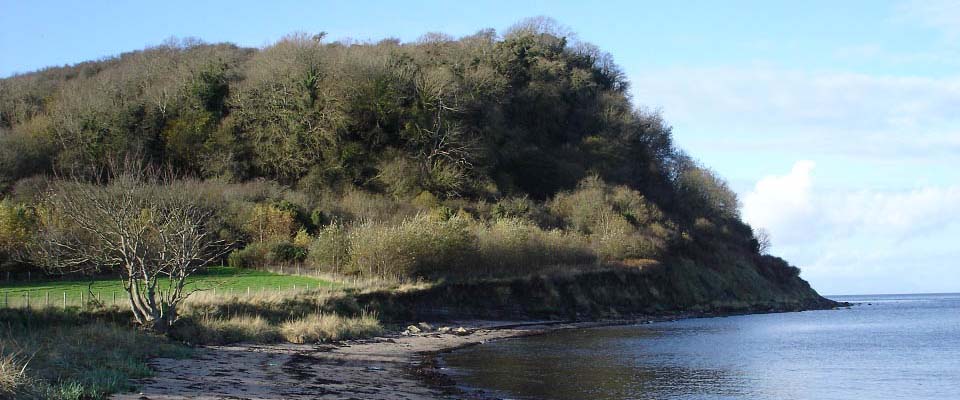
The first part of the cliffs you reach
are a bit rocky at the beach. The rocks
only last about 100 yards then it is back
to sand. Only a really high tide will
prevent you from going round the beach.
There is one spot in the middle you can
climb up, otherwise it is a good few
hundred yards to the other side.
If there is a really high tide, you can
go over the field on the left and through a
gate then up round to the top. That route
is a bit muddy so best go round the beach
if possible.
|
|
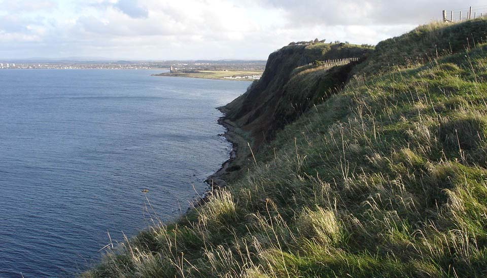
A view from the top shows the beach
leading round with Greenen Castle in the
distance and Ayr beyond that. There is a
sheep fence all the road along the top, so
if you want to take in the views from the
top, it is safe if you stay on the right
side of the fence. Large
Image.
|
|
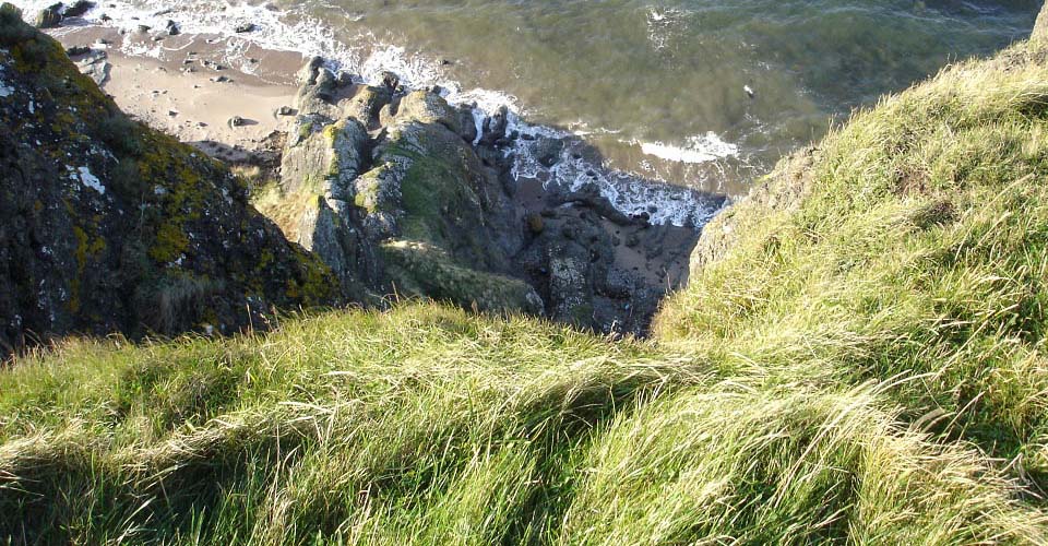
The view from the top looking down is a
bit daunting. There is one spot you can
cross the fence but it is not advisable as
it is a long way, straight down, from here,
certain death should one slip. Large
Image.
|
|
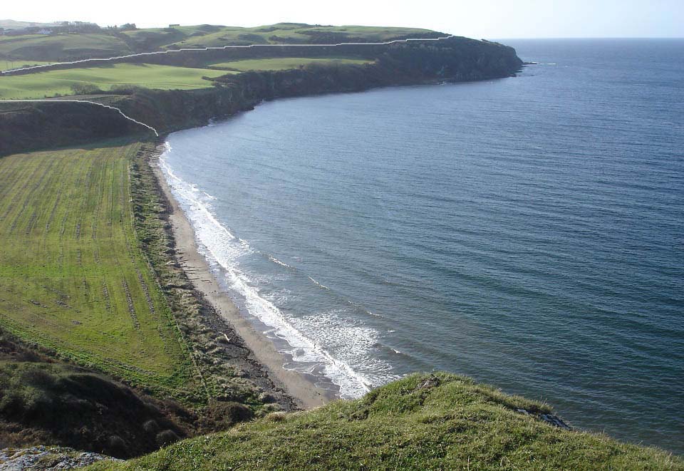
At the south side of the cliffs there is
a nice sandy beach. Beyond the beach is the
walking route to Dunure, just over 2 miles
further south.
From the south side of the beach, there
is a narrow path that leads up to the Heads
of Ayr Holiday Park, where you can find the
walking trail to Dunure. Large
Image.
|
|
The view below shows the path leading to
the holiday park with the Carrick Hills
behind. This is a good route to take if you
are walking from Ayr to the Carrick Hills
as, the main road out only has a footpath
some of the way. This way, just go up
through the park and cross the road to the
road that leads to the top of the hills. I
prefer to drive up to a place you can park,
about two-thirds up, then walk the rest.
There are great views of Ayr, the Ayrshire
coast and islands from the top.
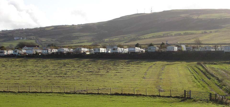
The walking route to Dunure runs along
the front of the Holiday Park. The Bracken Bar in the
park serves drinks and meals all day in
summer, only open weekend afternoons in
winter though.
|
|
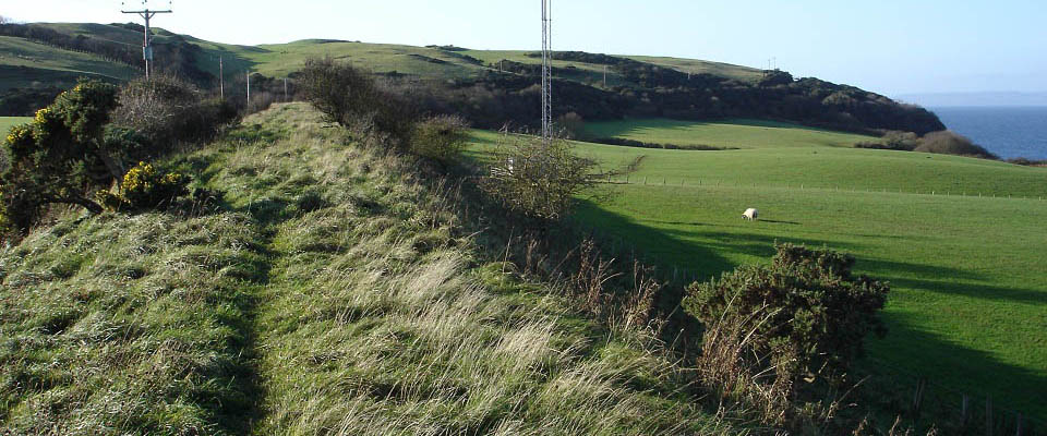
A walk along the front of the holiday
park, following the signs, takes you to the
old coastal railway line. The path leads
round the head in the distance, then
through a couple of fields, then down to
the coast just before Dunure.
|
|
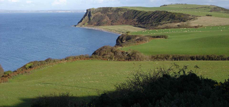
A look back at the Heads of Ayr,
probably the best view of them. Large
Image.
|
|
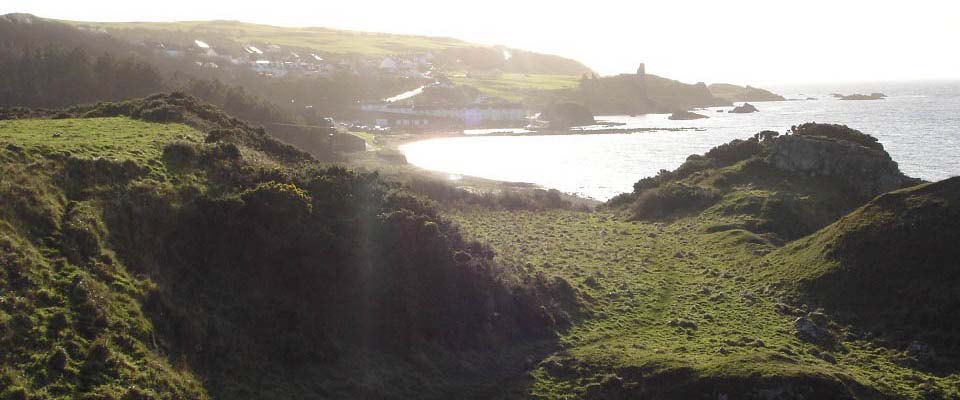
After what seemed a long 2 miles, Dunure
is visible. The last stretch of the walk
goes down between the rocks, then along a
shingle beach to the harbour. The shingle
was the toughest part of the walk. Note the
castle just beyond the harbour.
|
|
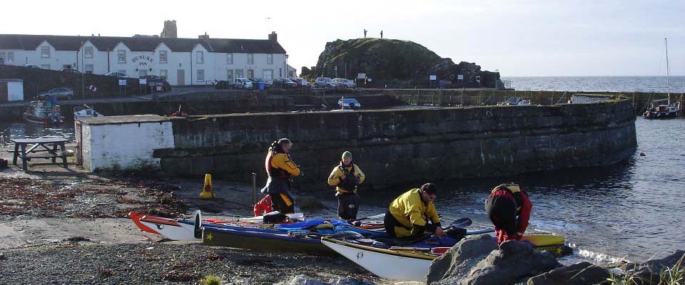
A few kiakers getting ready to put out
to sea. The Dunure Inn and Tea Room are in
the background overlooking the harbour.
|
|
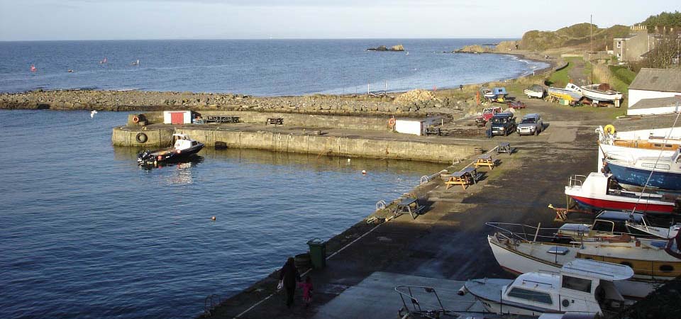
Below is a view from the harbour showing
the route back to Ayr, through the gap in
the rocks in the distance.
|
|
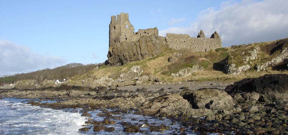
While at Dunure, you have to visit the
historic castle and read the plaques about
its history. The Commendator of Crossraguel
Abbey, just over the hills, was roasted
over a fire here in an attempt to get him
to sign Abbey land over to the owners of
this castle, the Kennedy's, setting off a
murderous feud over the following years.
The feud was between the Kennedy's of
Dunure, Cassillis & Culzean, and their
cousin Kennedy of Bargany who was supported
by the Mure's of Auchendrane. Kennedy of
Bargany was the brother in law of the
Commendator. Kennedy of Bargany was killed
in a skirmish by Kennedy of Cassillis and
his men in the area between Ayr and
Maybole. Kennedy of Culzean was ambushed
and killed while traveling to Edinburgh by
the Mure's in a revenge attack. Mure of
Auchendrane and his son were found guilty
of the murder of Kennedy of Culzean and
beheaded at the Cross of Edinburgh in July
1611. More Information. Large
Image.
|
|
The Bus 361 runs about 1 an hour between
Ayr/Boswell Park by Ayr Bus Station and
Dunure's Kennedy Park by the castle.
Many people catch a bus or lift back to
Ayr, or get a bus or lift out to here and
walk to Ayr from here. It is about 7 miles
between Ayr and Dunure, long enough for
many walkers in one day. Route
Map.
If you are looking for a testing walk
back to Ayr, you can take the hill route
back to Ayr where you get great views from
the top of the 941 feet Brown Carrick Hill.
Brown Carrick
Hill route.
There is also a walking trail south from
here that leads through Croy Beach, Culzean
Estate, the village of Maidens, then along
Turnberry Beach past the world famous golf
course. That trail can be extended to the
town of Girvan from where there is a scenic
hill walking route with sea views south
towards Ballantrae. Route Map.
Maidens to
Dunure Photo Tour.
|
|
|
