|
Where: Kirriereoch & Tarfessock in
Dumfries & Galloway by Ayrshire
When: June 2013
Who: I Parker
Why: good weather so a day out
Weather: Sunny Spells
Height: 2,579ft / 786m
Distance: ?
Kirriereoch is 5 miles north of
Glentrool village, 28 miles southeast of
Ayr via the village of Straiton, 15 miles
north of Newton Stewart, in the county of
Dumfries & Galloway. Glentrool village
is about 30 houses with a popular small
hotel for drinks and meals. The hotel is
situated about 1 mile south of the village,
named the House o Hill. The Glentrool
Holiday Park for camping is close to
the village.
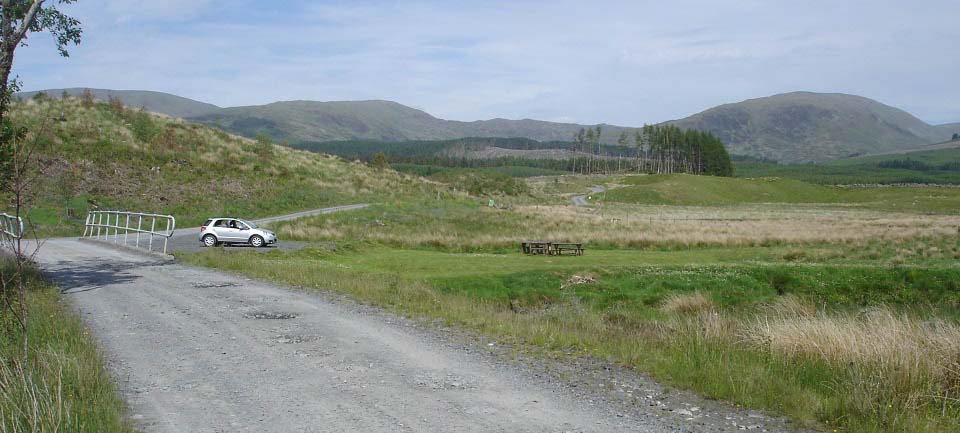
The image below is of the Kirriereoch
Car Park, Picnic Area and Fishing Spot on
the Water of Minnoch, about 100 yards off
the Straiton to Glentrool hill road. There
are two fairly large green signs at the
entrance stating Kirriereoch. The entrance
is a few hundred yards south of the larger
signs for the border between Ayrshire and
Dumfries & Galloway. That is
Kirriereoch on the right, Tarfessock just
left of centre, and Shalloch-on-Minnoch on
the left.
I reached this spot and began taking
pics of the main car park for the
Kirriereoch Hike. I had read a walk report
that stated they drove up the forest road
to another car park at the foot of the
mountain. It looks a long walk from here,
so just as I was thinking about driving up
the forest road, two hikers drove past up
the road. That helped make my mind up, so
off I set up the forest road in the car.
Road
Map
|
|
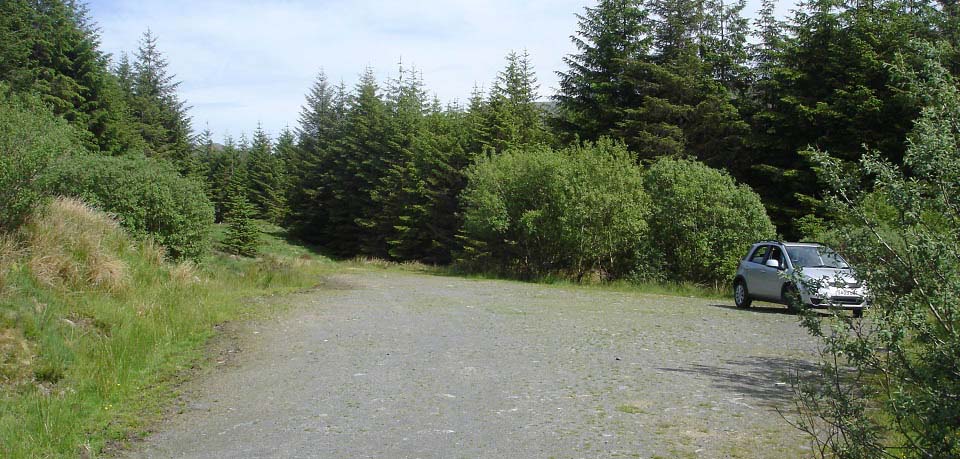
The image below is of the Kirriereoch
Forest Car Park, about 3 miles from the
main car park. The road is quite good with
only a few pot holes. Just watch you do not
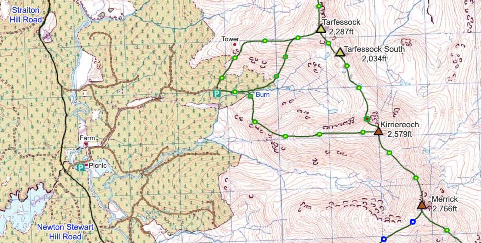
go up the wrong road. You basically go up
the main road, then turn off up to the
right close to the top, as seen in the map
below.
Most of the mature woodland has been
cleared in this area, so you would be
unlucky if you arrived here and they were
clearing the little that remains. The
forest road will no doubt be closed when
they are clearing the remaining mature
trees.
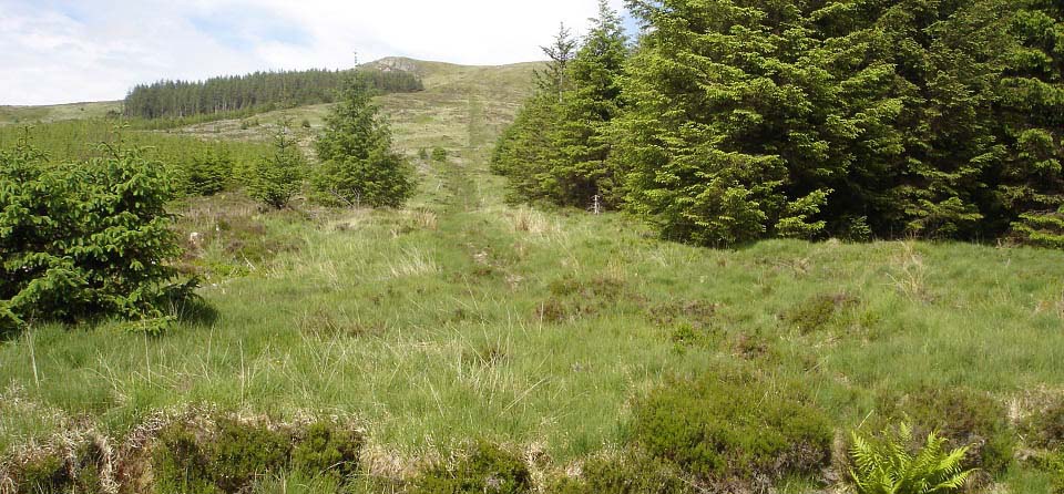
The main trail to Kirriereoch is up the
forest break as seen below, following a
fairly good path, with a few soggy parts
here and there.
|
|
The map below shows the Kirriereoch
Trail going up through the woodland, then
out onto the west ridge of
Kirriereoch.
|
|
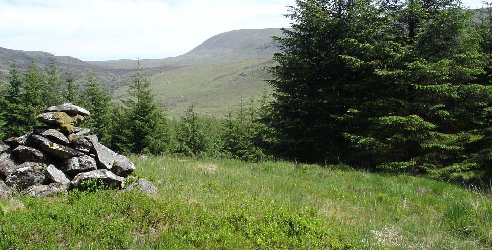
The image below is of a cairn by the
woodland path, about half of a mile up from
the forest car park. You just follow the
main trail through the woodland to
here.
The main trail goes down and round to
the left here, then out onto the southwest
side of Tarfessock. That is Kirriereoch
summit straight out there. To get to
Kirriereoch, you follow a faint trail from
here down and round to the right, to a
stone dyke.
|
|
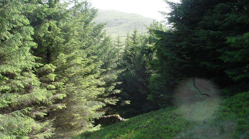
The image below is of the faint trail
about 50 yards down from the cairn, leading
past the stone dyke. That is the west ridge
of Kirriereoch you see through the
trees.
Just down past the dyke, you have to
push your way through branches of a couple
of trees to get out onto the mountain.
|
|
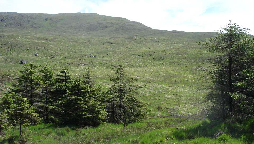
The image below is after clearing the
trees and looking out to the west ridge of
Kirriereoch. This area is a little rough,
but nothing too bad.
I headed down to the right here, crossed
the 5 feet wide Cross Burn, then headed
right, up onto the start of the west ridge.
There are many places to cross the burn by
stepping stones, although this might be
impossible if there has been a lot of heavy
rain.
|
|
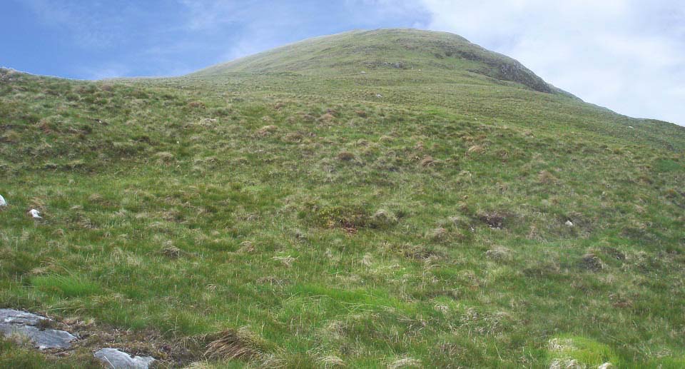
The image below is from close to the
bottom of the west ridge of Kirriereoch.
The cliffs are all on the south side, right
in this view.
There is a faint trail all the way from
here to the summit, with this first part
being the steepest, although not quite as
steep as it looks from here.
|
|
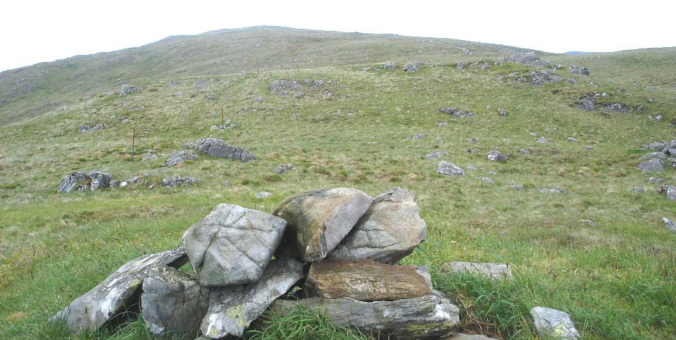
The image below is from the top of the
steep section, looking towards the top of
the second section. This is a fairly long
hike, but nice and steady from here.
You pass a large rock up this section
with what looks like a sheep's face painted
on it. It was not until I was at the rock,
did I realize it was moss, not paint.
|
|
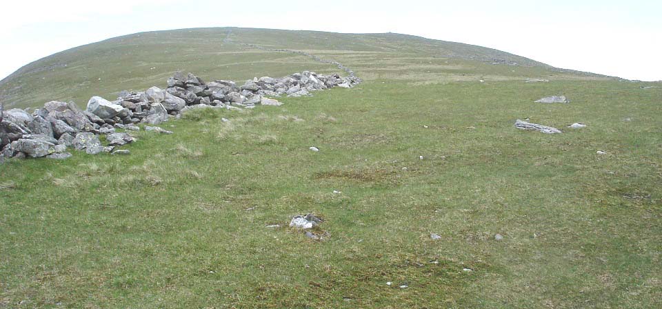
The image below is of the third section
of Kirriereoch with the cairn in view on
the top. This mountain is good hiking with
the sheep keeping the grass like a lawn
most of the way.
|
|
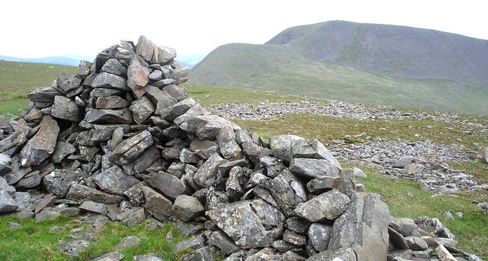
The image below is from the cairn on
Kirriereoch looking south to the 2,766ft
Merrick. It is a fairly straight forward
hike from here over to The Merrick, via the
Little Spear, just about 450ft to go down
and back up again.
|
|
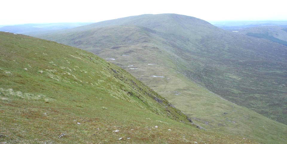
The image below is from the east side of
Kirriereoch looking north to Tarfessock. I
met the other hikers on the top here again,
and they stated there were fairly safe, but
steep, routes down the east and north
sides. I had a look down the east side
here, then decided to go straight down the
north side.
|
|
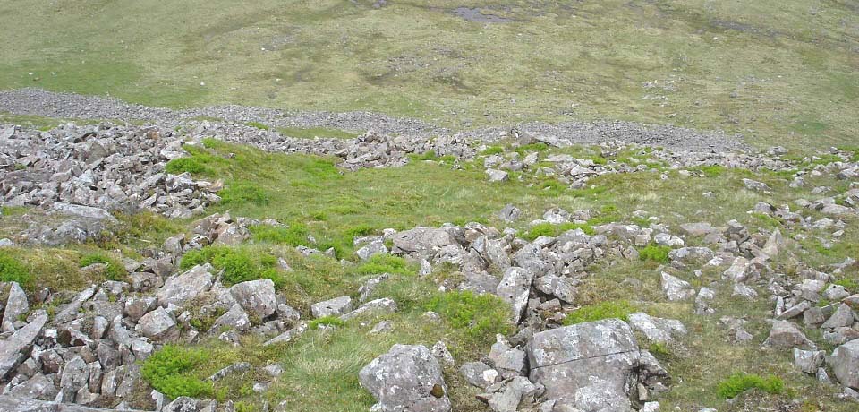
The image below is of the steep route
down the north side of Kirriereoch. It is
about 600ft down here to the lowest part on
the crossing. There are a lot of rocks to
get through, so is a bit slow going. Looks
a fairly tough hike up here.
I had only viewed this route from
Shalloch-on-Minnoch before, with it looking
almost impossible from there. Glad to find
it was possible to hike down or up
here.
|
|
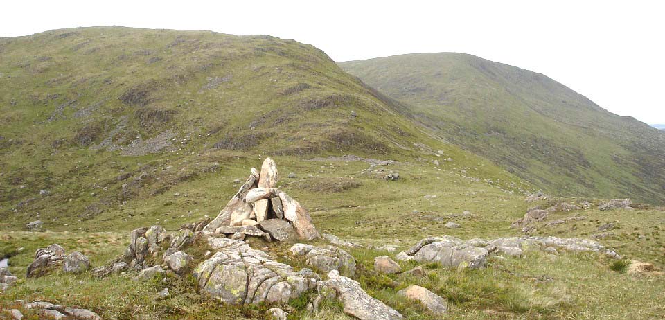
The image below is from Tarfessock South
looking north to Tarfessock. It is about
300ft up to the top from the low point
between these hills.
I followed the rocky east ridge up, then
cut over to the summit cairn close to the
top. There is a large boulder on the east
ridge, as can be seen below. Think this is
the boulder you see a lot of hikers photos
on as, when taken at the right angle, it
looks like they are out on a sheer
cliff.
|
|
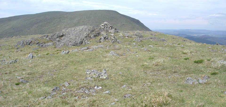
The image below is when approaching
Tarfessock from the south, with
Shalloch-on-Minnoch to the north. It is a
fairly straight forward hike over there,
with about 450ft to hike up to the top from
the lowest part.
|
|
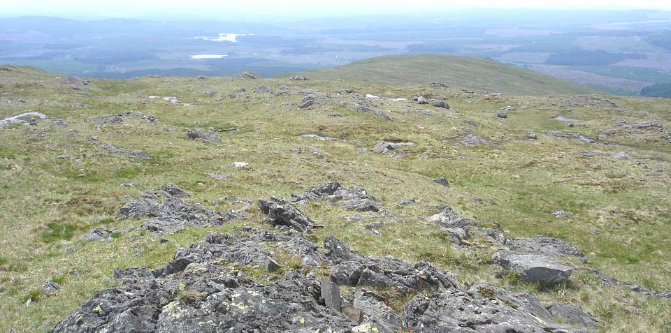
The image below is from Tarfessock cairn
looking down the west ridge, back towards
the car park.
I decided to head straight down the
middle following a faint trail, then cut
over to the south side close to the bottom,
to look for the best way down to the car
park.
|
|
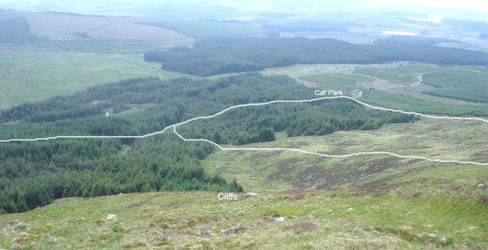
The image below is from where I cut
across to the south side close to the
bottom. I cut across too early as I ended
up on top of cliffs here. This gave me a
good view of the routes down though.
I decided to go round to the right here,
round the cliffs, then down to the forest
break to the main path back through the
woodland to the car park.
I looked at the other trail from the end
of the ridge straight to the car park, but
thought it might be a bit rough. I later
found that is the better route with a good
path down to the car park from a
communication tower.
The route down to the forest break was a
bit rough, and got even rougher lower down.
There was a good path down the forest break
to the main woodland path, but was a bit
soggy in places.
|
|
After getting back to the car park, I
decided to have a look up the trail to the
Communication Tower at the bottom of
Tarfessock west ridge. This looks a good
trail, starting from right next to the car
park, up to the tower, then there should be
a faint trail from the tower all the way to
the top of Tarfessock. Will try that route
some day.
|
|
The hike to Kirriereoch was great from
the second car park, would have been a long
slog from the first car park. There were a
few soggy parts on the woodland trail, and
each side of the Cross Burn, but after
that, it was great dry hiking all the way
to the top.
The route across to Tarfessock was a
fair bit tougher, turning the hike into a
fair test.
If I hike these hills again, will
probably do one at a time from the same car
park. I like hikes in sunny days that are
not too long, and hikes from car parks
close to the foot of the hills.
Some hikers like to go down the whole
range in the same day. You need to get
dropped off and picked up, or use two cars
to do the whole range in one day. Expect to
take between 7 and 10 hours to go down the
whole range.
Large Route
Map
South Side
Tour
North Side
Tour
|
|
|
